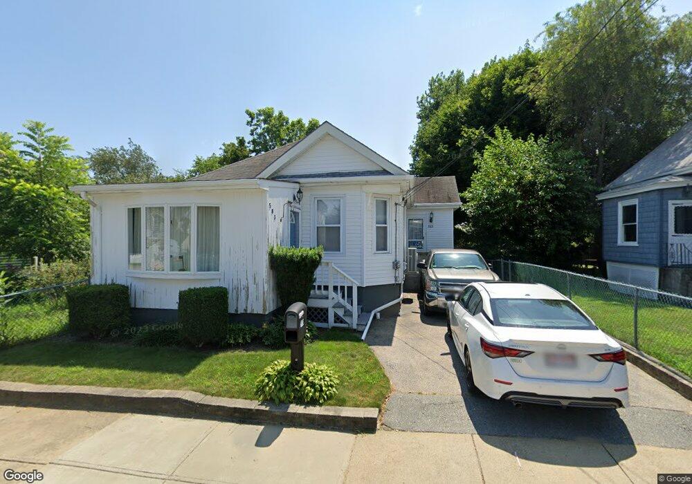
583 Anthony St Fall River, MA 02721
Maplewood NeighborhoodEstimated Value: $345,865 - $377,000
2
Beds
1
Bath
1,073
Sq Ft
$335/Sq Ft
Est. Value
About This Home
This home is located at 583 Anthony St, Fall River, MA 02721 and is currently estimated at $359,716, approximately $335 per square foot. 583 Anthony St is a home located in Bristol County with nearby schools including Letourneau Elementary School, Talbot Innovation School, and B M C Durfee High School.
Ownership History
Date
Name
Owned For
Owner Type
Purchase Details
Closed on
Nov 2, 2006
Sold by
Herman Lucille C
Bought by
Dufresne Lisa
Current Estimated Value
Home Financials for this Owner
Home Financials are based on the most recent Mortgage that was taken out on this home.
Original Mortgage
$169,500
Interest Rate
6.47%
Mortgage Type
Purchase Money Mortgage
Purchase Details
Closed on
Sep 29, 2004
Sold by
Costa Manuel Raymond
Bought by
Mrc Bldg Corp
Create a Home Valuation Report for This Property
The Home Valuation Report is an in-depth analysis detailing your home's value as well as a comparison with similar homes in the area
Home Values in the Area
Average Home Value in this Area
Purchase History
| Date | Buyer | Sale Price | Title Company |
|---|---|---|---|
| Dufresne Lisa | $169,500 | -- | |
| Mrc Bldg Corp | -- | -- |
Source: Public Records
Mortgage History
| Date | Status | Borrower | Loan Amount |
|---|---|---|---|
| Open | Mrc Bldg Corp | $152,000 | |
| Closed | Dufresne Lisa | $169,500 | |
| Previous Owner | Mrc Bldg Corp | $55,000 | |
| Previous Owner | Mrc Bldg Corp | $20,000 |
Source: Public Records
Tax History
| Year | Tax Paid | Tax Assessment Tax Assessment Total Assessment is a certain percentage of the fair market value that is determined by local assessors to be the total taxable value of land and additions on the property. | Land | Improvement |
|---|---|---|---|---|
| 2025 | $3,527 | $308,000 | $114,700 | $193,300 |
| 2024 | $3,310 | $288,100 | $112,400 | $175,700 |
| 2023 | $3,190 | $260,000 | $101,300 | $158,700 |
| 2022 | $2,818 | $223,300 | $95,600 | $127,700 |
| 2021 | $4,341 | $192,300 | $91,300 | $101,000 |
| 2020 | $4,221 | $177,200 | $87,100 | $90,100 |
| 2019 | $2,543 | $174,400 | $91,100 | $83,300 |
| 2018 | $4,118 | $168,600 | $91,700 | $76,900 |
| 2017 | $4,021 | $167,200 | $91,700 | $75,500 |
| 2016 | $2,264 | $166,100 | $94,600 | $71,500 |
| 2015 | $2,173 | $166,100 | $94,600 | $71,500 |
| 2014 | $2,090 | $166,100 | $94,600 | $71,500 |
Source: Public Records
Map
Nearby Homes
- 186 Spencer St
- 495 Chicago St
- 59 Denver St
- 93 Lawton St
- 125 Carl St
- 478 Tucker St
- 539 Aetna St
- 95 Hiatt St
- 59 Wayne St
- 0 Stafford Rd Unit 1393774
- 0 Stafford Rd Unit 73431501
- 545 Brayton Ave
- 0 Wood St
- 0 Hancock St
- 248 Jefferson St
- 21 Boyden St
- 10 Aberdeen St
- 1350 Rodman St
- 311 S Oxford St
- 664 Norman St
- 595 Anthony St
- 571 Anthony St
- 601 Anthony St
- 551 Anthony St
- 576 Anthony St
- 146 Progress St
- 558 Anthony St Unit 560
- 602 Anthony St
- 533 Anthony St
- 542 Anthony St
- 25 Maria St
- 531 Anthony St
- 585 Lawton St
- 597 Lawton St
- 597 Lawton St Unit 2
- 597 Lawton St Unit 1
- 525 Anthony St
- 112 Progress St
- 575 Lawton St
- 522 Anthony St
Your Personal Tour Guide
Ask me questions while you tour the home.