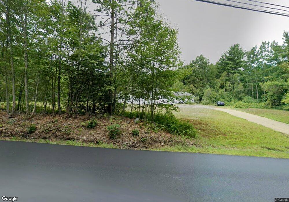
583 Forristall Rd Rindge, NH 03461
Estimated Value: $462,000 - $549,000
2
Beds
2
Baths
1,465
Sq Ft
$339/Sq Ft
Est. Value
About This Home
This home is located at 583 Forristall Rd, Rindge, NH 03461 and is currently estimated at $496,506, approximately $338 per square foot. 583 Forristall Rd is a home located in Cheshire County with nearby schools including Rindge Memorial School, Conant Middle High School, and Conant High School.
Ownership History
Date
Name
Owned For
Owner Type
Purchase Details
Closed on
Sep 12, 2016
Sold by
Eric M Olson T
Bought by
Aho Roy R and Aho Mary S
Current Estimated Value
Home Financials for this Owner
Home Financials are based on the most recent Mortgage that was taken out on this home.
Original Mortgage
$191,468
Outstanding Balance
$151,395
Interest Rate
3.12%
Mortgage Type
FHA
Estimated Equity
$345,111
Purchase Details
Closed on
Dec 3, 2010
Sold by
Fisher Patrick and Fisher Donna
Bought by
Eric M Olson T
Create a Home Valuation Report for This Property
The Home Valuation Report is an in-depth analysis detailing your home's value as well as a comparison with similar homes in the area
Home Values in the Area
Average Home Value in this Area
Purchase History
| Date | Buyer | Sale Price | Title Company |
|---|---|---|---|
| Aho Roy R | $195,000 | -- | |
| Eric M Olson T | $400,000 | -- |
Source: Public Records
Mortgage History
| Date | Status | Borrower | Loan Amount |
|---|---|---|---|
| Open | Aho Roy R | $191,468 | |
| Previous Owner | Eric M Olson T | $300,000 | |
| Previous Owner | Eric M Olson T | $5,000,000 | |
| Previous Owner | Eric M Olson T | $165,000 |
Source: Public Records
Tax History Compared to Growth
Tax History
| Year | Tax Paid | Tax Assessment Tax Assessment Total Assessment is a certain percentage of the fair market value that is determined by local assessors to be the total taxable value of land and additions on the property. | Land | Improvement |
|---|---|---|---|---|
| 2024 | $6,454 | $255,000 | $47,600 | $207,400 |
| 2023 | $6,385 | $255,000 | $47,600 | $207,400 |
| 2022 | $5,873 | $255,000 | $47,600 | $207,400 |
| 2021 | $5,622 | $248,200 | $47,600 | $200,600 |
| 2020 | $5,572 | $248,200 | $47,600 | $200,600 |
| 2019 | $5,746 | $207,000 | $40,600 | $166,400 |
| 2018 | $5,660 | $205,800 | $40,600 | $165,200 |
| 2017 | $5,596 | $205,800 | $40,600 | $165,200 |
| 2016 | $5,806 | $208,041 | $42,841 | $165,200 |
| 2015 | $5,800 | $207,958 | $42,758 | $165,200 |
| 2014 | $6,598 | $253,458 | $69,658 | $183,800 |
| 2013 | $6,481 | $254,552 | $70,552 | $184,000 |
Source: Public Records
Map
Nearby Homes
- 634 Forristall Rd
- 26 Park Dr Unit 59
- 40 Maple Dr
- 1 Saybrook Dr
- lot 2-0 Saybrook Dr
- Lot 14-0 Saybrook Dr
- 0 Monomonac Rd W
- 80 Elmwood Rd
- 150 Hubbard Hill Rd
- 196 Lord Brook Rd
- 16 2nd St
- 125 2nd St
- 336 Main St
- 15 2nd St
- 238 Fourth St
- 35 Hillside Dr
- 47 Old Military Rd
- 22 Daria Dr
- 150-152 Mill Cir
- 436 Maple St
- 609 Forristall Rd
- 1 Monadnock View Rd
- 576 Forristall Rd
- 563 Forristall Rd
- 20 Sunset Dr
- 37 Sunset Dr
- 27 Sunset Dr
- 33 Sunset Dr
- 41 Sunset Dr
- 26 Sunset Dr
- 623 Forristall Rd
- 570 Forristall Rd
- 560 Forristall Rd
- 622 Forristall Rd
- 629 Forristall Rd
- 626 Forristall Rd
- 33 Woods Crossing Rd
- 535 Forristall Rd
- 544 Forristall Rd
- 645 Forristall Rd