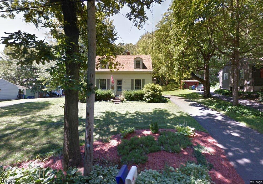
583 Maple Shade Rd Middletown, CT 06457
Estimated Value: $308,547 - $368,000
2
Beds
2
Baths
1,210
Sq Ft
$280/Sq Ft
Est. Value
About This Home
This home is located at 583 Maple Shade Rd, Middletown, CT 06457 and is currently estimated at $338,387, approximately $279 per square foot. 583 Maple Shade Rd is a home located in Middlesex County with nearby schools including Wesley School, Middletown High School, and The Independent Day School.
Ownership History
Date
Name
Owned For
Owner Type
Purchase Details
Closed on
Dec 1, 1988
Sold by
Albanese Lorraine
Bought by
Brostek Kenneth E
Current Estimated Value
Home Financials for this Owner
Home Financials are based on the most recent Mortgage that was taken out on this home.
Original Mortgage
$137,600
Interest Rate
10.19%
Create a Home Valuation Report for This Property
The Home Valuation Report is an in-depth analysis detailing your home's value as well as a comparison with similar homes in the area
Home Values in the Area
Average Home Value in this Area
Purchase History
| Date | Buyer | Sale Price | Title Company |
|---|---|---|---|
| Brostek Kenneth E | $172,000 | -- |
Source: Public Records
Mortgage History
| Date | Status | Borrower | Loan Amount |
|---|---|---|---|
| Open | Brostek Kenneth E | $109,424 | |
| Closed | Brostek Kenneth E | $120,000 | |
| Closed | Brostek Kenneth E | $137,600 |
Source: Public Records
Tax History
| Year | Tax Paid | Tax Assessment Tax Assessment Total Assessment is a certain percentage of the fair market value that is determined by local assessors to be the total taxable value of land and additions on the property. | Land | Improvement |
|---|---|---|---|---|
| 2025 | $5,647 | $152,580 | $57,180 | $95,400 |
| 2024 | $5,403 | $152,580 | $57,180 | $95,400 |
| 2023 | $5,128 | $152,580 | $57,180 | $95,400 |
| 2022 | $4,485 | $108,720 | $42,360 | $66,360 |
| 2021 | $4,465 | $108,720 | $42,360 | $66,360 |
| 2020 | $4,458 | $108,720 | $42,360 | $66,360 |
| 2019 | $4,480 | $108,720 | $42,360 | $66,360 |
| 2018 | $4,325 | $108,720 | $42,360 | $66,360 |
| 2017 | $4,166 | $107,710 | $51,160 | $56,550 |
| 2016 | $4,083 | $107,710 | $51,160 | $56,550 |
| 2015 | $3,993 | $107,710 | $51,160 | $56,550 |
| 2014 | $3,989 | $107,710 | $51,160 | $56,550 |
Source: Public Records
Map
Nearby Homes
- Lot 2 Coleman Rd
- 3 Blue Bird Rd
- Lot 3 Coleman Rd
- 15 Blue Spruce St
- 122 Baldwin Dr
- 672 Laurel Grove Rd
- 18 Talcott Ridge Dr
- 2 Yellow Orange Cir
- 70 Jack English Dr
- 909 Randolph Rd
- 56 Coles Rd
- 91 Gleeson Rd
- 74R Stone Bridge Dr
- (Map 12, Lot 80A) Hubbard St
- 2 Stone Bridge Dr Unit Lot 2
- 63 Millbrook Rd
- 45 Mckenna Dr
- 13 Mckenna Dr
- 58 Durant Terrace
- 7 Countryside Ln Unit 4
- 595 Maple Shade Rd
- 575 Maple Shade Rd
- 500 Kelsey St
- 549 Maple Shade Rd
- 570 Maple Shade Rd
- 540 Maple Shade Rd
- 512 Kelsey St
- 412 Kelsey St
- 544 Kelsey St
- 522 Maple Shade Rd
- 421 Kelsey St
- 7 Paterson Dr
- 31 Paterson Dr
- 467 Kelsey St
- 515 Maple Shade Rd
- 45 Paterson Dr
- 500 Maple Shade Rd
- 564 Kelsey St
- 505 Kelsey St
- 595 Kelsey St
Your Personal Tour Guide
Ask me questions while you tour the home.