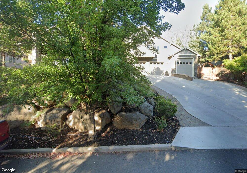
583 NW Greyhawk Ave Bend, OR 97701
Awbrey Butte NeighborhoodEstimated Value: $959,000 - $1,611,000
3
Beds
4
Baths
3,327
Sq Ft
$371/Sq Ft
Est. Value
About This Home
This home is located at 583 NW Greyhawk Ave, Bend, OR 97701 and is currently estimated at $1,235,190, approximately $371 per square foot. 583 NW Greyhawk Ave is a home located in Deschutes County with nearby schools including High Lakes Elementary School, Pacific Crest Middle School, and Summit High School.
Ownership History
Date
Name
Owned For
Owner Type
Purchase Details
Closed on
Jul 28, 2005
Sold by
Miller Jason L and Miller Robyn J
Bought by
Kendall Kenneth Kyle and Kendall Krista W
Current Estimated Value
Home Financials for this Owner
Home Financials are based on the most recent Mortgage that was taken out on this home.
Original Mortgage
$355,000
Outstanding Balance
$182,940
Interest Rate
5.56%
Mortgage Type
Fannie Mae Freddie Mac
Estimated Equity
$1,052,250
Create a Home Valuation Report for This Property
The Home Valuation Report is an in-depth analysis detailing your home's value as well as a comparison with similar homes in the area
Home Values in the Area
Average Home Value in this Area
Purchase History
| Date | Buyer | Sale Price | Title Company |
|---|---|---|---|
| Kendall Kenneth Kyle | $649,900 | Amerititle |
Source: Public Records
Mortgage History
| Date | Status | Borrower | Loan Amount |
|---|---|---|---|
| Open | Kendall Kenneth Kyle | $355,000 |
Source: Public Records
Tax History
| Year | Tax Paid | Tax Assessment Tax Assessment Total Assessment is a certain percentage of the fair market value that is determined by local assessors to be the total taxable value of land and additions on the property. | Land | Improvement |
|---|---|---|---|---|
| 2025 | $7,541 | $446,310 | -- | -- |
| 2024 | $7,255 | $433,320 | -- | -- |
| 2023 | $6,726 | $420,700 | $0 | $0 |
| 2022 | $6,275 | $396,560 | $0 | $0 |
| 2021 | $6,284 | $385,010 | $0 | $0 |
| 2020 | $5,962 | $385,010 | $0 | $0 |
| 2019 | $5,796 | $373,800 | $0 | $0 |
| 2018 | $5,632 | $362,920 | $0 | $0 |
| 2017 | $5,467 | $352,350 | $0 | $0 |
| 2016 | $5,214 | $342,090 | $0 | $0 |
| 2015 | $5,069 | $332,130 | $0 | $0 |
| 2014 | $4,920 | $322,460 | $0 | $0 |
Source: Public Records
Map
Nearby Homes
- 664 NW Powell Butte Loop
- 2545 NW Awbrey Rd
- 625 NW Compass Ln
- 2627 NW Awbrey Point Cir
- 2580 N West Awbrey Point Cir Unit 1&2
- 2582 NW 1st St
- 2850 NW Lucus Ct
- 2903 NW Fairway Heights Dr
- 2984 NW Hidden Ridge Dr
- 520 NW Divot Dr
- 2975 NW Lucus Ct
- 2980 NW Lucus Ct
- 2201 NW Lakeside Place
- 3419 NW Fairway Heights Dr
- 1650 NW 5th St
- 2408 NW Majestic Ridge Dr
- 3031 NW Hidden Ridge Dr
- 3061 NW Jewell Way
- 636 NW Portland Ave
- 628 NW Portland Ave
- 589 NW Greyhawk Ave
- 577 NW Greyhawk Ave
- 676 NW Powell Butte Loop
- 689 NW Stonepine Dr
- 703 NW Stonepine Dr
- 572 NW Greyhawk Ave
- 670 NW Powell Butte Loop
- 656 NW Greyhawk Ave
- 584 NW Greyhawk Ave
- 571 NW Greyhawk Ave
- 677 NW Stonepine Dr
- 715 NW Stonepine Dr
- 2489 NW Hemmingway St
- 677 NW Powell Butte Loop
- 681 NW Powell Butte Loop
- 2493 NW Hemmingway St
- 685 NW Powell Butte Loop
- 665 NW Powell Butte Loop
- 2485 NW Hemmingway St
- 560 NW Greyhawk Ave
Your Personal Tour Guide
Ask me questions while you tour the home.