58303 260th St Brownsdale, MN 55918
Estimated Value: $261,000 - $298,776
2
Beds
1
Bath
1,152
Sq Ft
$247/Sq Ft
Est. Value
About This Home
This home is located at 58303 260th St, Brownsdale, MN 55918 and is currently estimated at $284,694, approximately $247 per square foot. 58303 260th St is a home located in Mower County with nearby schools including Hayfield Elementary School and Hayfield Secondary School.
Ownership History
Date
Name
Owned For
Owner Type
Purchase Details
Closed on
Jul 10, 2006
Sold by
Zeller Simon N and Zeller Karen M
Bought by
Mcgonigle Duane A
Current Estimated Value
Home Financials for this Owner
Home Financials are based on the most recent Mortgage that was taken out on this home.
Original Mortgage
$120,000
Interest Rate
6.68%
Mortgage Type
New Conventional
Purchase Details
Closed on
Jun 17, 2005
Sold by
Zeller Simon N and Zeller Karen M
Bought by
Zeler Simon N and Zeller Karen M
Create a Home Valuation Report for This Property
The Home Valuation Report is an in-depth analysis detailing your home's value as well as a comparison with similar homes in the area
Home Values in the Area
Average Home Value in this Area
Purchase History
| Date | Buyer | Sale Price | Title Company |
|---|---|---|---|
| Mcgonigle Duane A | $150,000 | None Available | |
| Zeler Simon N | -- | None Available |
Source: Public Records
Mortgage History
| Date | Status | Borrower | Loan Amount |
|---|---|---|---|
| Open | Mcgonigle Duane A | $120,000 |
Source: Public Records
Tax History Compared to Growth
Tax History
| Year | Tax Paid | Tax Assessment Tax Assessment Total Assessment is a certain percentage of the fair market value that is determined by local assessors to be the total taxable value of land and additions on the property. | Land | Improvement |
|---|---|---|---|---|
| 2025 | $1,940 | $288,200 | $121,700 | $166,500 |
| 2024 | $1,940 | $271,100 | $99,700 | $171,400 |
| 2023 | $2,080 | $268,500 | $99,700 | $168,800 |
| 2022 | $1,832 | $265,300 | $99,700 | $165,600 |
| 2021 | $1,652 | $199,700 | $85,700 | $114,000 |
| 2020 | $1,566 | $179,600 | $85,700 | $93,900 |
| 2018 | $657 | $164,100 | $82,500 | $81,600 |
| 2017 | $1,314 | $0 | $0 | $0 |
| 2016 | $1,168 | $0 | $0 | $0 |
| 2015 | $2,216 | $0 | $0 | $0 |
| 2012 | $2,216 | $0 | $0 | $0 |
Source: Public Records
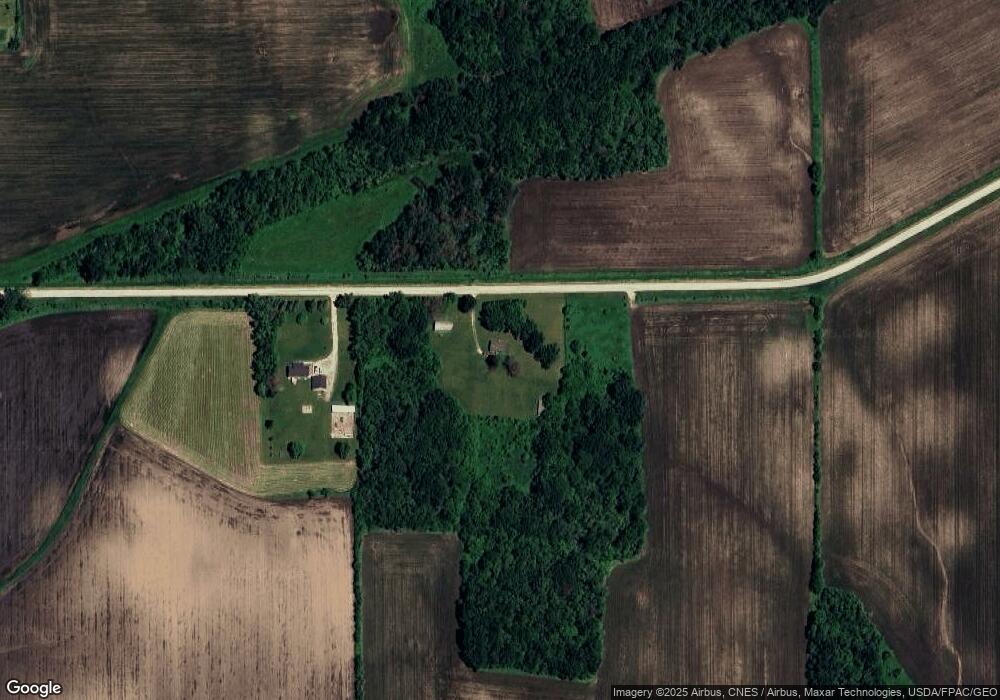
Map
Nearby Homes
- 107 Peace St SW
- 208 Mill St S
- 108 Johnson St NE
- 403 SE Pleasant St
- TBD 265th St
- 57648 280th St
- 26233 555th Ave
- TBD 555th Ave
- 57331 227th St
- 58454 220th St
- 54224 266 St
- 26468 540th Ave
- 54067 267th St
- TBD 30th Ave NE
- TBD 266th St & 539th Ave
- 56325 220th St
- TBD 220 St
- Tbd 256th St
- 2006 13th Ave NE
- 1306 18th Dr NE
- 58233 260th St
- 26164 580th Ave
- 26164 580th Ave
- 25624 580th Ave
- 108 Sunset St
- 58235 266 St
- 58587 266th St
- 509 SW Pleasant St
- 507 Brownsdale
- 501 Pleasant St
- 509 W Main St
- 58452 266th St
- 57655 260th St
- 105 Peace St SW
- 58490 266th St
- 103 Peace St SW
- 604 W Main St
- 501 W Main St
- 101 Peace St SW
- 58516 266th St