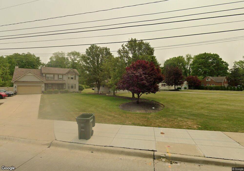
5831 W 220th St Cleveland, OH 44126
Estimated Value: $339,000 - $435,000
3
Beds
3
Baths
2,112
Sq Ft
$181/Sq Ft
Est. Value
About This Home
This home is located at 5831 W 220th St, Cleveland, OH 44126 and is currently estimated at $381,382, approximately $180 per square foot. 5831 W 220th St is a home located in Cuyahoga County with nearby schools including Gilles-Sweet Elementary School, Lewis F Mayer Middle School, and Fairview High School.
Ownership History
Date
Name
Owned For
Owner Type
Purchase Details
Closed on
Dec 20, 1993
Sold by
Doran Margaret
Bought by
Kislin Joseph
Current Estimated Value
Purchase Details
Closed on
Feb 7, 1992
Sold by
Doran James M
Bought by
Doran Margaret
Purchase Details
Closed on
Jun 29, 1990
Sold by
Fadil Jean N
Bought by
Doran James M
Purchase Details
Closed on
Jan 1, 1975
Bought by
Fadil Jean N
Create a Home Valuation Report for This Property
The Home Valuation Report is an in-depth analysis detailing your home's value as well as a comparison with similar homes in the area
Home Values in the Area
Average Home Value in this Area
Purchase History
| Date | Buyer | Sale Price | Title Company |
|---|---|---|---|
| Kislin Joseph | $42,000 | -- | |
| Doran Margaret | -- | -- | |
| Doran James M | $25,000 | -- | |
| Fadil Jean N | -- | -- |
Source: Public Records
Tax History Compared to Growth
Tax History
| Year | Tax Paid | Tax Assessment Tax Assessment Total Assessment is a certain percentage of the fair market value that is determined by local assessors to be the total taxable value of land and additions on the property. | Land | Improvement |
|---|---|---|---|---|
| 2024 | $7,469 | $118,930 | $22,470 | $96,460 |
| 2023 | $6,517 | $90,520 | $15,160 | $75,360 |
| 2022 | $6,385 | $90,510 | $15,160 | $75,360 |
| 2021 | $6,530 | $90,510 | $15,160 | $75,360 |
| 2020 | $5,854 | $72,980 | $12,220 | $60,760 |
| 2019 | $5,202 | $208,500 | $34,900 | $173,600 |
| 2018 | $5,318 | $72,980 | $12,220 | $60,760 |
| 2017 | $5,681 | $65,070 | $12,320 | $52,750 |
| 2016 | $5,643 | $65,070 | $12,320 | $52,750 |
| 2015 | $5,438 | $65,070 | $12,320 | $52,750 |
| 2014 | $5,438 | $63,180 | $11,970 | $51,210 |
Source: Public Records
Map
Nearby Homes
- 22250 Mastick Rd
- 22276 Sycamore Dr
- 22439 Haber Dr
- 22537 Lenox Dr
- 22640 Lenox Dr
- 22636 Mastick Rd
- 5300 Sherwood Dr
- 22534 Bard Ave
- 22934 Mastick Rd Unit 102
- 22831 Esther Ave
- 22503 Sandy Ln
- 22895 Mastick Rd
- 21877 Seabury Ave
- 21104 Mastick Rd
- 23052 Mastick Rd
- 20930 Mastick Rd
- 21888 Eaton Rd
- 4590 Brendan Ln
- 4666 Brendan Cir
- 4480 W 224th St
- 5837 W 220th St
- 5801 W 220th St
- 5865 W 220th St
- 5877 W 220th St
- 5810 W 220th St
- 5885 W 220th St
- 22005 Mastick Rd
- 5905 W 220th St
- 5880 W 220th St
- 22100 Mastick Rd Unit 2
- 5935 W 220th St
- 5715 W 220th St
- 5910 W 220th St
- 22217 Mastick Rd
- 5840 Rockport Ln
- 5732 W 220th St
- 5860 Rockport Ln
- 5820 Rockport Ln
- 5880 Rockport Ln
- 21856 Mastick Rd