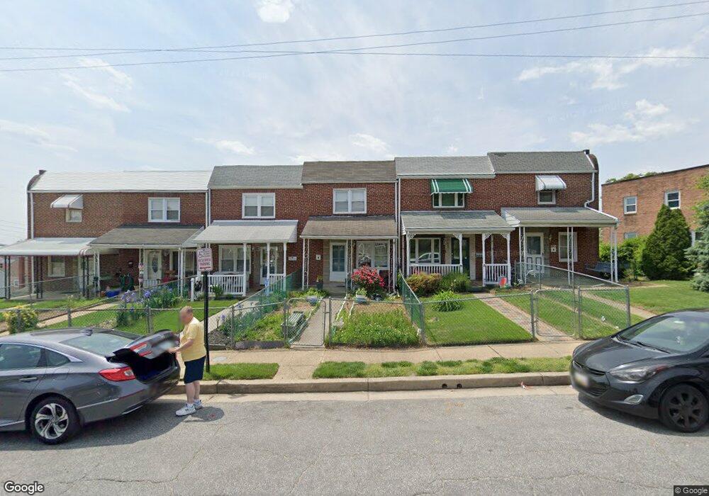
584 47th St Baltimore, MD 21224
Estimated Value: $159,000 - $196,000
Studio
1
Bath
1,024
Sq Ft
$179/Sq Ft
Est. Value
About This Home
This home is located at 584 47th St, Baltimore, MD 21224 and is currently estimated at $183,016, approximately $178 per square foot. 584 47th St is a home located in Baltimore County with nearby schools including Norwood Elementary School, Holabird Middle School, and Dundalk High School.
Ownership History
Date
Name
Owned For
Owner Type
Purchase Details
Closed on
Apr 23, 2008
Sold by
Welch Deborah A
Bought by
Welch Deborah A
Current Estimated Value
Purchase Details
Closed on
Apr 2, 2008
Sold by
Welch Deborah A
Bought by
Welch Deborah A
Purchase Details
Closed on
Oct 15, 1999
Sold by
Klosteridis Spiros M
Bought by
Welch Deborah A and Farish Mary G
Create a Home Valuation Report for This Property
The Home Valuation Report is an in-depth analysis detailing your home's value as well as a comparison with similar homes in the area
Home Values in the Area
Average Home Value in this Area
Purchase History
| Date | Buyer | Sale Price | Title Company |
|---|---|---|---|
| Welch Deborah A | -- | -- | |
| Welch Deborah A | -- | -- | |
| Welch Deborah A | $81,400 | -- |
Source: Public Records
Tax History
| Year | Tax Paid | Tax Assessment Tax Assessment Total Assessment is a certain percentage of the fair market value that is determined by local assessors to be the total taxable value of land and additions on the property. | Land | Improvement |
|---|---|---|---|---|
| 2025 | $2,225 | $139,600 | -- | -- |
| 2024 | $2,225 | $126,300 | $0 | $0 |
| 2023 | $1,157 | $113,000 | $36,000 | $77,000 |
| 2022 | $2,546 | $108,933 | $0 | $0 |
| 2021 | $2,439 | $104,867 | $0 | $0 |
| 2020 | $870 | $100,800 | $36,000 | $64,800 |
| 2019 | $1,222 | $100,800 | $36,000 | $64,800 |
| 2018 | $2,147 | $100,800 | $36,000 | $64,800 |
| 2017 | $2,112 | $102,200 | $0 | $0 |
| 2016 | $2,013 | $98,467 | $0 | $0 |
| 2015 | $2,013 | $94,733 | $0 | $0 |
| 2014 | $2,013 | $91,000 | $0 | $0 |
Source: Public Records
Map
Nearby Homes
- 511 47th St
- 1305 Delvale Ave
- 7007 Bank St
- 1242 Delbert Ave
- 1214 S 48th St
- 7007 Gough St
- 7035 Gough St
- 0 Hillshire Rd
- 6817 Duluth Ave
- 6700 Hudson St
- 1220 Hillshire Rd
- 7165 Gough St
- 7503 Riddle Ave
- 7307 Conley St
- 1703 Bethlehem Ave
- 7107 E Baltimore St
- 1116 Dundalk Ave
- 7316 Conley St
- 7503 Cypress Ave
- 1823 Walnut Ave
Your Personal Tour Guide
Ask me questions while you tour the home.