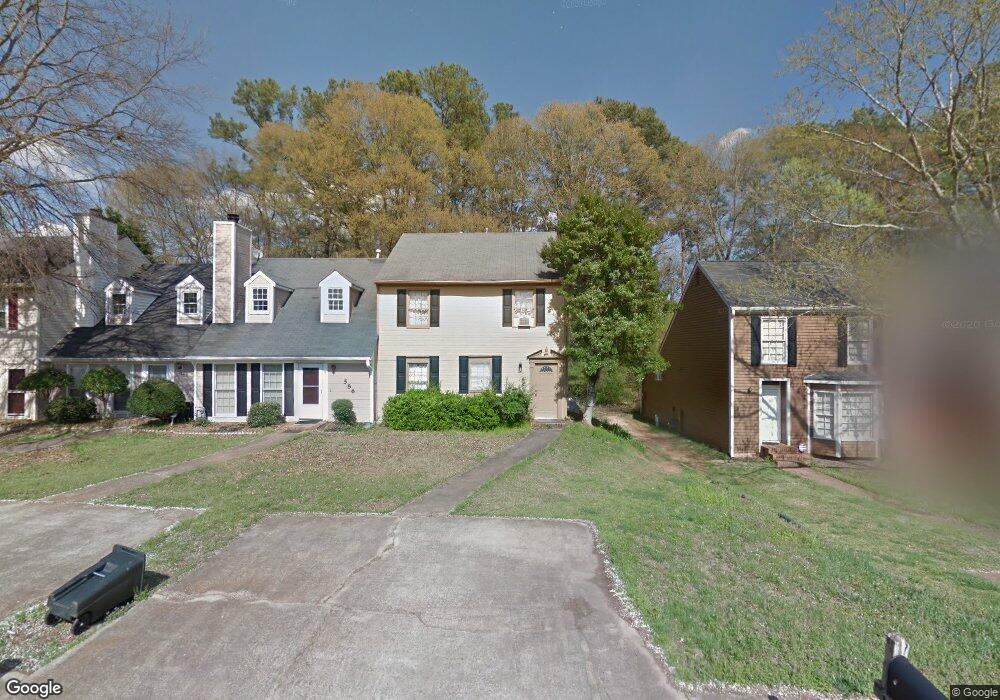
584 Manning Rd SW Unit 1 Marietta, GA 30064
Southwestern Marietta NeighborhoodEstimated Value: $266,209 - $301,000
2
Beds
2
Baths
1,392
Sq Ft
$200/Sq Ft
Est. Value
About This Home
This home is located at 584 Manning Rd SW Unit 1, Marietta, GA 30064 and is currently estimated at $278,802, approximately $200 per square foot. 584 Manning Rd SW Unit 1 is a home located in Cobb County with nearby schools including A.L. Burruss Elementary School, Marietta Sixth Grade Academy, and Marietta Middle School.
Ownership History
Date
Name
Owned For
Owner Type
Purchase Details
Closed on
Jul 31, 1996
Sold by
Vansant Hanley A Peggy
Bought by
Generette Lloyd J
Current Estimated Value
Create a Home Valuation Report for This Property
The Home Valuation Report is an in-depth analysis detailing your home's value as well as a comparison with similar homes in the area
Home Values in the Area
Average Home Value in this Area
Purchase History
| Date | Buyer | Sale Price | Title Company |
|---|---|---|---|
| Generette Lloyd J | $72,000 | -- |
Source: Public Records
Mortgage History
| Date | Status | Borrower | Loan Amount |
|---|---|---|---|
| Closed | Generette Lloyd J | $0 |
Source: Public Records
Tax History Compared to Growth
Tax History
| Year | Tax Paid | Tax Assessment Tax Assessment Total Assessment is a certain percentage of the fair market value that is determined by local assessors to be the total taxable value of land and additions on the property. | Land | Improvement |
|---|---|---|---|---|
| 2025 | $101 | $104,092 | $34,000 | $70,092 |
| 2024 | $101 | $104,092 | $34,000 | $70,092 |
| 2023 | $0 | $104,092 | $34,000 | $70,092 |
| 2022 | $101 | $80,396 | $18,000 | $62,396 |
| 2021 | $108 | $52,520 | $18,000 | $34,520 |
| 2020 | $108 | $52,520 | $18,000 | $34,520 |
| 2019 | $108 | $47,684 | $16,000 | $31,684 |
| 2018 | $108 | $47,684 | $16,000 | $31,684 |
| 2017 | $85 | $31,628 | $8,000 | $23,628 |
| 2016 | $86 | $25,572 | $4,000 | $21,572 |
| 2015 | $95 | $25,572 | $4,000 | $21,572 |
| 2014 | $50 | $15,888 | $0 | $0 |
Source: Public Records
Map
Nearby Homes
- 560 Manning Rd SW
- 594 Manning Rd SW
- 199 Hickory Walk SW
- 207 Westland Cir SW
- 181 Brighton Ct SW
- 920 Westland Dr SW
- 332 Rockmann Ln SW
- 106 Westland Ct SW
- 1161 Rockmann Terrace SW
- 1141 Whitlock Ave NW
- 260 Manning Rd SW Unit 110
- 839 Manning Villas Ct SW
- 834 Cannon Run SW
- 1047 Chestnut Hill Cir SW
- 838 Cannon Run SW
- 1211 Cliffpine Ct SW
- 873 Cavalry Dr SW
- 798 Sentinel Ridge SW
- 586 Manning Rd SW
- 582 Manning Rd SW
- 588 Manning Rd SW Unit 1
- 580 Manning Rd SW
- 590 Manning Rd SW
- 578 Manning Rd SW
- 578 Manning Rd SW
- 576 Manning Rd SW
- 576 Manning Rd SW
- 804 Manning Way SW Unit 804
- 804 Manning Way SW
- 804 Manning Way SW Unit 807
- 802 Manning Way SW
- 574 Manning Rd SW
- 806 Manning Way SW
- 808 Manning Way SW
- 572 Manning Rd SW
- 570 Manning Rd SW
- 570 Manning Rd SW
- 169 Kimberly Way SW