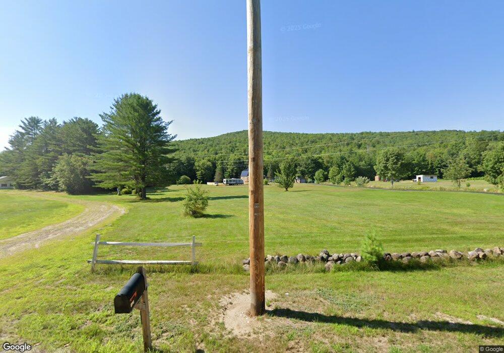
584 Redding Rd Sumner, ME 04292
Estimated Value: $158,000 - $382,320
2
Beds
2
Baths
1,624
Sq Ft
$183/Sq Ft
Est. Value
About This Home
This home is located at 584 Redding Rd, Sumner, ME 04292 and is currently estimated at $297,107, approximately $182 per square foot. 584 Redding Rd is a home located in Oxford County with nearby schools including Hartford-Sumner Elementary School and Buckfield Junior/Senior High School.
Ownership History
Date
Name
Owned For
Owner Type
Purchase Details
Closed on
Jun 12, 2019
Sold by
Paradis Paul M and Paradis Linda L
Bought by
Giannelli Mark
Current Estimated Value
Home Financials for this Owner
Home Financials are based on the most recent Mortgage that was taken out on this home.
Original Mortgage
$100,000
Outstanding Balance
$87,190
Interest Rate
4.1%
Mortgage Type
New Conventional
Estimated Equity
$209,917
Purchase Details
Closed on
May 7, 2019
Sold by
Paradis Paul M and Paradis Linda L
Bought by
Paradis Paul M and Paradis Linda L
Home Financials for this Owner
Home Financials are based on the most recent Mortgage that was taken out on this home.
Original Mortgage
$100,000
Outstanding Balance
$87,190
Interest Rate
4.1%
Mortgage Type
New Conventional
Estimated Equity
$209,917
Purchase Details
Closed on
Nov 10, 2016
Sold by
Paradis Paul M and Paradis Linda L
Bought by
Paradis Paul M and Paradis Linda L
Create a Home Valuation Report for This Property
The Home Valuation Report is an in-depth analysis detailing your home's value as well as a comparison with similar homes in the area
Purchase History
| Date | Buyer | Sale Price | Title Company |
|---|---|---|---|
| Giannelli Mark | -- | -- | |
| Giannelli Mark | -- | -- | |
| Paradis Paul M | -- | -- | |
| Paradis Paul M | -- | -- | |
| Paradis Paul M | -- | -- | |
| Paradis Paul M | -- | -- |
Source: Public Records
Mortgage History
| Date | Status | Borrower | Loan Amount |
|---|---|---|---|
| Open | Giannelli Mark | $100,000 | |
| Closed | Giannelli Mark | $100,000 |
Source: Public Records
Tax History Compared to Growth
Tax History
| Year | Tax Paid | Tax Assessment Tax Assessment Total Assessment is a certain percentage of the fair market value that is determined by local assessors to be the total taxable value of land and additions on the property. | Land | Improvement |
|---|---|---|---|---|
| 2024 | $3,925 | $301,926 | $57,850 | $244,076 |
| 2023 | $2,672 | $126,638 | $38,500 | $88,138 |
| 2022 | $2,615 | $126,638 | $38,500 | $88,138 |
| 2021 | $2,652 | $128,420 | $38,500 | $89,920 |
| 2020 | $2,021 | $97,870 | $38,500 | $59,370 |
| 2019 | $1,992 | $97,870 | $38,500 | $59,370 |
| 2018 | $1,889 | $97,870 | $38,500 | $59,370 |
| 2017 | $1,791 | $97,870 | $38,500 | $59,370 |
| 2016 | $1,659 | $97,870 | $38,500 | $59,370 |
| 2015 | $1,605 | $97,870 | $38,500 | $59,370 |
| 2014 | $1,566 | $97,870 | $38,500 | $59,370 |
| 2013 | $1,537 | $97,870 | $38,500 | $59,370 |
Source: Public Records
Map
Nearby Homes
- M13L18A-1 Redding Rd
- M19 L6-6 Tuell Hill Rd
- 1443 Main St
- 15 Front St
- 105 Arthur Allen Rd
- 20 Front St
- L14 Concord Pond Rd
- 42 Front St
- 1 Hemlock Haven
- 729 Main St
- 70 Koskela Rd
- 120 Harbor Rd
- 585 Main St
- 20 Kittridge Brook Rd
- Map R15-37 Fields Hill Rd
- Lot#32 Beech Ridge Ln
- 80-002-A Road Less Traveled Rd
- 309 Cushman Rd
- 67 Fields Hill Rd
- 66 Ridge Rd
