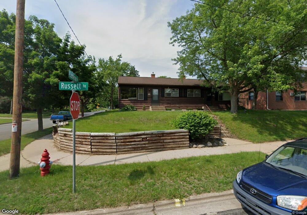
5842 Russett Rd Madison, WI 53711
Meadowood NeighborhoodEstimated Value: $338,000 - $526,000
4
Beds
2
Baths
1,715
Sq Ft
$228/Sq Ft
Est. Value
About This Home
This home is located at 5842 Russett Rd, Madison, WI 53711 and is currently estimated at $391,781, approximately $228 per square foot. 5842 Russett Rd is a home located in Dane County with nearby schools including Orchard Ridge Elementary School, Toki Middle School, and Vel Phillips Memorial High School.
Ownership History
Date
Name
Owned For
Owner Type
Purchase Details
Closed on
Nov 1, 2022
Sold by
Qz Properties Llc
Bought by
Campbell Bradley Wayne
Current Estimated Value
Home Financials for this Owner
Home Financials are based on the most recent Mortgage that was taken out on this home.
Original Mortgage
$195,000
Outstanding Balance
$188,671
Interest Rate
6.7%
Mortgage Type
New Conventional
Estimated Equity
$203,110
Purchase Details
Closed on
Aug 15, 2016
Sold by
Navidad Jose F and Navidad Jennifer J
Bought by
Qz Properties Llc
Create a Home Valuation Report for This Property
The Home Valuation Report is an in-depth analysis detailing your home's value as well as a comparison with similar homes in the area
Home Values in the Area
Average Home Value in this Area
Purchase History
| Date | Buyer | Sale Price | Title Company |
|---|---|---|---|
| Campbell Bradley Wayne | $260,000 | -- | |
| Qz Properties Llc | $184,000 | Knight Barry Title |
Source: Public Records
Mortgage History
| Date | Status | Borrower | Loan Amount |
|---|---|---|---|
| Open | Campbell Bradley Wayne | $195,000 |
Source: Public Records
Tax History
| Year | Tax Paid | Tax Assessment Tax Assessment Total Assessment is a certain percentage of the fair market value that is determined by local assessors to be the total taxable value of land and additions on the property. | Land | Improvement |
|---|---|---|---|---|
| 2024 | $12,965 | $286,000 | $80,700 | $205,300 |
| 2023 | $5,419 | $260,000 | $73,400 | $186,600 |
| 2022 | $9,607 | $246,700 | $66,100 | $180,600 |
| 2021 | $4,737 | $224,300 | $60,100 | $164,200 |
| 2020 | $4,302 | $195,000 | $52,300 | $142,700 |
| 2019 | $4,320 | $195,000 | $52,300 | $142,700 |
| 2018 | $4,314 | $195,000 | $52,300 | $142,700 |
| 2017 | $4,214 | $184,000 | $52,300 | $131,700 |
| 2016 | $4,233 | $179,900 | $52,300 | $127,600 |
| 2015 | $4,278 | $173,000 | $64,300 | $108,700 |
| 2014 | $4,114 | $173,000 | $64,300 | $108,700 |
| 2013 | $4,075 | $173,000 | $62,400 | $110,600 |
Source: Public Records
Map
Nearby Homes
- 6013 Raymond Rd
- 5701 Bartlett Ln
- 5602 Raymond Rd
- 2102 Manor Green Dr
- 2217 Westbrook Ln
- 5704 Richmond Dr
- 6104 Davenport Dr
- 2502 Sara Rd
- 5314 Kroncke Dr
- 2309 Mckenna Blvd
- 6806 Raymond Rd Unit 101
- 28 Deer Point Trail
- 31 Deer Point Trail
- 913 Chapel Hill Rd
- 2954 King James Way Unit 4
- 6717 Park Edge Dr Unit A
- 6710 Park Ridge Dr Unit B
- 6734 Park Ridge Dr Unit D
- 1 Maple View Ct
- 2925 Maple Run Dr
- 5840 Russett Rd
- 1805 Cameron Dr
- 5834 Russett Rd
- 5834 Russett Rd Unit CDM
- 5836 Russett Rd Unit 1
- 1810 Cameron Dr
- 1814 Cameron Dr
- 1801 Cameron Dr
- 1902 Cameron Dr
- 1806 Cameron Dr
- 5830 Russett Rd Unit 3
- 5830 Russett Rd Unit 1
- 5821 Bartlett Ln
- 1906 Cameron Dr
- 1802 Cameron Dr
- 1813 Rae Ln
- 5826 Russett Rd
- 1817 Rae Ln
- 1809 Rae Ln
- 5817 Bartlett Ln
Your Personal Tour Guide
Ask me questions while you tour the home.