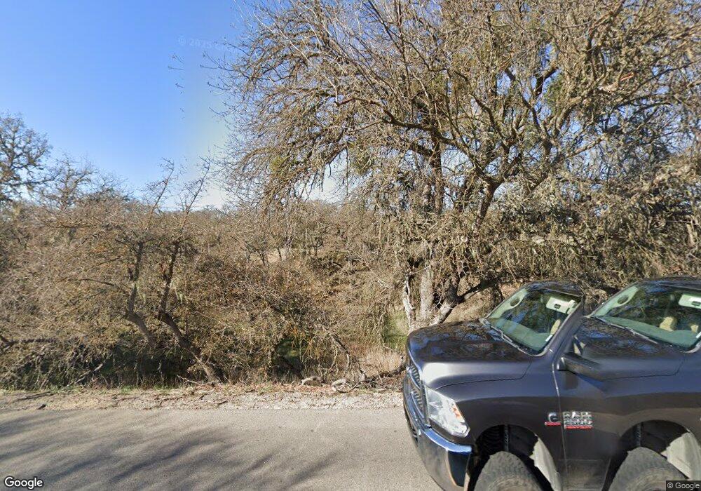
5845 Airport Rd Paso Robles, CA 93446
Estimated Value: $878,061 - $1,271,000
3
Beds
2
Baths
1,930
Sq Ft
$553/Sq Ft
Est. Value
About This Home
This home is located at 5845 Airport Rd, Paso Robles, CA 93446 and is currently estimated at $1,067,765, approximately $553 per square foot. 5845 Airport Rd is a home located in San Luis Obispo County with nearby schools including Kermit King Elementary School, Daniel Lewis Middle School, and Paso Robles High School.
Ownership History
Date
Name
Owned For
Owner Type
Purchase Details
Closed on
Mar 4, 2003
Sold by
Anderson Richard A and Anderson Priscilla Gaye
Bought by
Anderson Richard A and Anderson Priscilla Gaye
Current Estimated Value
Home Financials for this Owner
Home Financials are based on the most recent Mortgage that was taken out on this home.
Original Mortgage
$210,000
Interest Rate
5.83%
Mortgage Type
Stand Alone First
Create a Home Valuation Report for This Property
The Home Valuation Report is an in-depth analysis detailing your home's value as well as a comparison with similar homes in the area
Home Values in the Area
Average Home Value in this Area
Purchase History
| Date | Buyer | Sale Price | Title Company |
|---|---|---|---|
| Anderson Richard A | -- | Fidelity Title Company | |
| Anderson Richard A | -- | Fidelity Title Company |
Source: Public Records
Mortgage History
| Date | Status | Borrower | Loan Amount |
|---|---|---|---|
| Closed | Anderson Richard A | $210,000 |
Source: Public Records
Tax History Compared to Growth
Tax History
| Year | Tax Paid | Tax Assessment Tax Assessment Total Assessment is a certain percentage of the fair market value that is determined by local assessors to be the total taxable value of land and additions on the property. | Land | Improvement |
|---|---|---|---|---|
| 2025 | $3,534 | $333,966 | $110,994 | $222,972 |
| 2024 | $3,470 | $327,418 | $108,818 | $218,600 |
| 2023 | $3,470 | $320,999 | $106,685 | $214,314 |
| 2022 | $3,410 | $314,706 | $104,594 | $210,112 |
| 2021 | $3,344 | $308,537 | $102,544 | $205,993 |
| 2020 | $3,309 | $305,374 | $101,493 | $203,881 |
| 2019 | $3,244 | $299,387 | $99,503 | $199,884 |
| 2018 | $3,181 | $293,517 | $97,552 | $195,965 |
| 2017 | $2,979 | $287,763 | $95,640 | $192,123 |
| 2016 | $2,920 | $282,121 | $93,765 | $188,356 |
| 2015 | $2,876 | $277,884 | $92,357 | $185,527 |
| 2014 | $2,768 | $272,441 | $90,548 | $181,893 |
Source: Public Records
Map
Nearby Homes
- 6440 Buena Vista Dr
- 7010 Wilderness Ln
- 1600 Adobe Rd
- 7790 Airport Rd
- 4580 Our Place
- 5195 Whispering Oak Way
- 4515 Jardine Rd
- 5710 Farousse Way
- 0 Wisteria Ln Unit NS23168912
- 0 Wisteria Ln Unit PI24044350
- 0 Wisteria Ln Unit PI24059010
- 0 Wisteria Ln Unit NS23168895
- 0 Wisteria Ln Unit NS23168929
- 0 Wisteria Ln Unit NS23168630
- 0 Germaine Way Unit NS25226362
- 4635 Deer Creek Way
- 0 Engine Ave
- 3405 Golden Hill Rd
- 4225 Farousse Way
- 6229 Monterey Rd
- 6167 Airport Rd
- 2680 Adobe Rd
- 2627 Adobe Rd
- 2678 Adobe Rd
- 2555 Adobe Rd
- 2500 Adobe Rd
- 2525 Adobe Rd
- 2490 Adobe Rd
- 5215 Airport Rd
- 2305 Adobe Rd
- 0 Adobe Rd Unit PR1067217
- 0 Adobe Rd Unit 1057044
- 0 Adobe Rd Unit 985040
- 0 Adobe Rd Unit 600582
- 0 Adobe Rd Unit 958235
- 5850 Buena Vista Dr
- 5175 Airport Rd
- 2210 Adobe Rd
- 2370 Adobe Rd
- 5880 Buena Vista Dr
