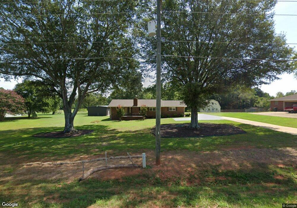
5846 Highway 187 Unit 2.10 Acres Anderson, SC 29625
Estimated Value: $211,000 - $249,000
2
Beds
2
Baths
1,210
Sq Ft
$189/Sq Ft
Est. Value
About This Home
This home is located at 5846 Highway 187 Unit 2.10 Acres, Anderson, SC 29625 and is currently estimated at $229,158, approximately $189 per square foot. 5846 Highway 187 Unit 2.10 Acres is a home located in Anderson County with nearby schools including Pendleton High School.
Ownership History
Date
Name
Owned For
Owner Type
Purchase Details
Closed on
Sep 15, 2016
Sold by
Taylor J Wendell and Aziz Susan T
Bought by
Brown Benny P
Current Estimated Value
Purchase Details
Closed on
Mar 23, 2016
Sold by
Taylor J Wendell
Bought by
Taylor J Wendell and Aziz Susan T
Purchase Details
Closed on
Jan 15, 2010
Sold by
Arflin Douglas Richard and The Arflin Living Trust
Bought by
Taylor J Wendell and Taylor Patricia S
Purchase Details
Closed on
Dec 9, 2009
Sold by
Arflin Douglas Richard and Arflin W T
Bought by
Arflin Douglas Richard and Arflin Living Trust
Purchase Details
Closed on
Sep 28, 2006
Sold by
Arflin T W and Arflin Lorene S
Bought by
Arflin T W and Arflin Lorene S
Create a Home Valuation Report for This Property
The Home Valuation Report is an in-depth analysis detailing your home's value as well as a comparison with similar homes in the area
Home Values in the Area
Average Home Value in this Area
Purchase History
| Date | Buyer | Sale Price | Title Company |
|---|---|---|---|
| Brown Benny P | $112,500 | None Available | |
| Taylor J Wendell | -- | Attorney | |
| Taylor J Wendell | $100,000 | -- | |
| Arflin Douglas Richard | -- | -- | |
| Arflin T W | -- | None Available |
Source: Public Records
Tax History Compared to Growth
Tax History
| Year | Tax Paid | Tax Assessment Tax Assessment Total Assessment is a certain percentage of the fair market value that is determined by local assessors to be the total taxable value of land and additions on the property. | Land | Improvement |
|---|---|---|---|---|
| 2024 | $1,656 | $5,010 | $670 | $4,340 |
| 2023 | $1,656 | $5,010 | $670 | $4,340 |
| 2022 | $441 | $5,010 | $670 | $4,340 |
| 2021 | $367 | $4,470 | $640 | $3,830 |
| 2020 | $661 | $4,470 | $640 | $3,830 |
| 2019 | $661 | $4,470 | $640 | $3,830 |
| 2018 | $661 | $4,470 | $640 | $3,830 |
| 2017 | -- | $6,700 | $960 | $5,740 |
| 2016 | $298 | $3,950 | $610 | $3,340 |
| 2015 | $300 | $3,950 | $610 | $3,340 |
| 2014 | $309 | $3,950 | $610 | $3,340 |
Source: Public Records
Map
Nearby Homes
- 108 Grindstone Way
- 5924 S Carolina 187
- 1011 Shadow Ln
- 5028 Patterson Rd
- 114 Ann Rd
- 1103 Burns Bridge Rd
- 201 Shore Dr
- 116 Dean Rd
- 360 Cann Rd
- 1011 Arrowhead Point Rd
- 4638 Pine Needle Cir
- 4615 Pine Needle Cir
- 3310 Centerville Rd
- 2152 Deloach Dr
- 527 Nautical Way
- 1130 Cartee Rd
- 04 Gibson Rd
- 03 Gibson Rd
- 02 Gibson Rd
- 01 Gibson Rd
- 5846 Highway 187
- 5846 Highway 187 Unit Wild Hog Road
- 5848 S Carolina 187
- 2850 Highway 187 S
- 5851 Highway 187
- 5854 Highway 187
- 5847 Highway 187
- 102 Grindstone Way
- 100 Grindstone Way
- 106 Grindstone Way
- 104 Grindstone Way
- 5834 Highway 187
- 101 Grindstone Way
- 103 Grindstone Way
- 110 Grindstone Way
- 105 Grindstone Way
- 111 Grindstone Way
- 112 Grindstone Way
- 109 Grindstone Way
- 5900 Highway 187