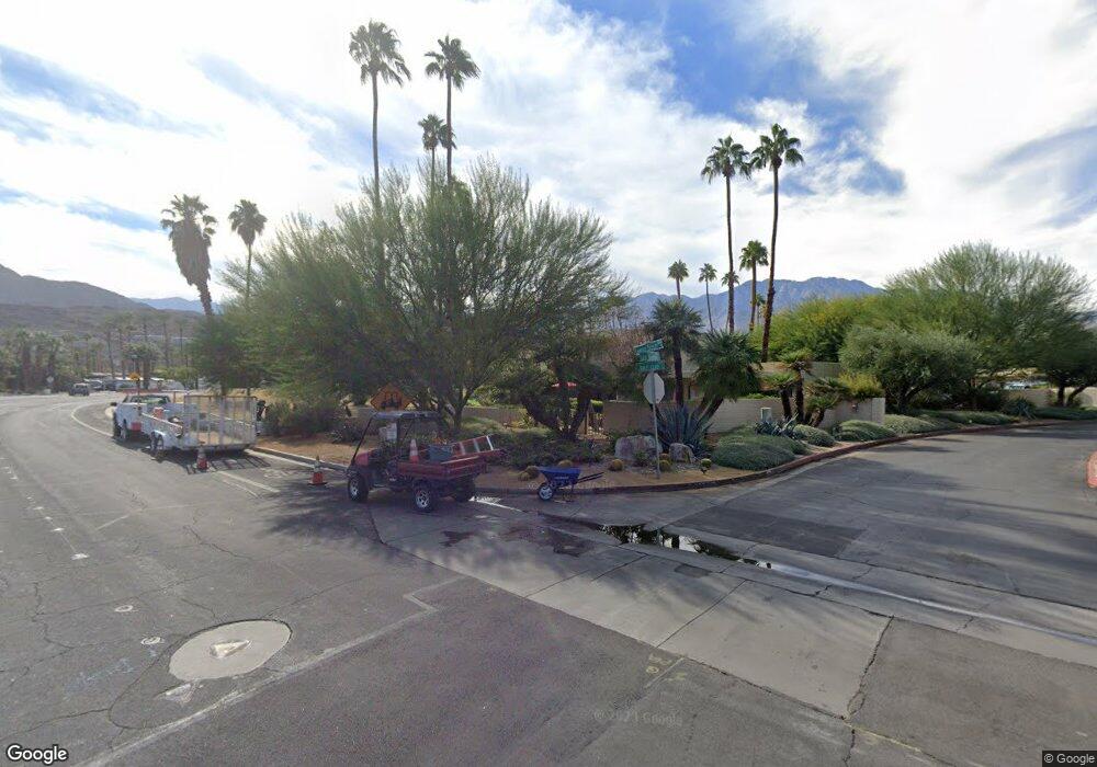
5847 Los Santos Dr Unit 6 Palm Springs, CA 92264
Estimated Value: $361,846 - $455,000
2
Beds
3
Baths
1,380
Sq Ft
$292/Sq Ft
Est. Value
About This Home
This home is located at 5847 Los Santos Dr Unit 6, Palm Springs, CA 92264 and is currently estimated at $403,212, approximately $292 per square foot. 5847 Los Santos Dr Unit 6 is a home located in Riverside County with nearby schools including Cahuilla Elementary School, Raymond Cree Middle School, and Palm Springs High School.
Ownership History
Date
Name
Owned For
Owner Type
Purchase Details
Closed on
Jul 16, 2020
Sold by
Henry Barbara S and Henry Family Living Trust
Bought by
Henry Barbara S and Henry Family Living Trust
Current Estimated Value
Purchase Details
Closed on
Apr 3, 2000
Sold by
Carro Maire J and Carro Barone L
Bought by
Henry Howard T and Henry Barbara S
Purchase Details
Closed on
Jun 10, 1997
Sold by
Carro Marie J
Bought by
Carro Marie J and Barone Sandra L
Create a Home Valuation Report for This Property
The Home Valuation Report is an in-depth analysis detailing your home's value as well as a comparison with similar homes in the area
Home Values in the Area
Average Home Value in this Area
Purchase History
| Date | Buyer | Sale Price | Title Company |
|---|---|---|---|
| Henry Barbara S | -- | None Available | |
| Henry Howard T | $109,500 | First American Title Co | |
| Carro Marie J | -- | -- |
Source: Public Records
Tax History Compared to Growth
Tax History
| Year | Tax Paid | Tax Assessment Tax Assessment Total Assessment is a certain percentage of the fair market value that is determined by local assessors to be the total taxable value of land and additions on the property. | Land | Improvement |
|---|---|---|---|---|
| 2025 | $2,258 | $168,261 | $42,053 | $126,208 |
| 2023 | $2,258 | $161,729 | $40,421 | $121,308 |
| 2022 | $2,299 | $158,559 | $39,629 | $118,930 |
| 2021 | $2,257 | $155,451 | $38,852 | $116,599 |
| 2020 | $2,164 | $153,858 | $38,454 | $115,404 |
| 2019 | $2,130 | $150,842 | $37,700 | $113,142 |
| 2018 | $2,094 | $147,885 | $36,962 | $110,923 |
| 2017 | $2,067 | $144,987 | $36,238 | $108,749 |
| 2016 | $2,012 | $142,145 | $35,528 | $106,617 |
| 2015 | $1,923 | $140,012 | $34,996 | $105,016 |
| 2014 | $1,885 | $137,271 | $34,311 | $102,960 |
Source: Public Records
Map
Nearby Homes
- 5300 Los Coyotes Dr
- 2615 E East Palm Oasis St
- 2303 Los Patos Dr
- 2700 Lawrence Crossley Rd Unit 90
- 2700 Lawrence Crossley Rd Unit 37
- 2700 Lawrence Crossley Rd Unit 83
- 2700 Lawrence Crossley Rd Unit 65
- 2700 Lawrence Crossley Rd Unit 52
- 2700 Lawrence Crossley Rd Unit 103
- 2700 Lawrence Crossley Rd Unit 96
- 2396 Los Coyotes Dr
- 2306 Los Patos Dr
- 5723 Los Coyotes Dr
- 2201 Los Patos Dr
- 5300 E Waverly Dr Unit A4
- 5300 E Waverly Dr Unit K7
- 5300 E Waverly Dr Unit F11
- 5300 E Waverly Dr Unit C13
- 47 Portola Dr
- 345 San Domingo Dr
- 5847 Los Santos Dr
- 5861 Los Santos Dr Unit 4
- 5833 Los Santos Dr
- 5855 Los Santos Dr Unit 5
- 5703 Los Coyotes Dr Unit 9
- 5703 Los Coyotes Dr
- 5715 Los Coyotes Dr Unit 8
- 5885 Los Santos Dr Unit 2
- 5885 Los Santos Dr
- 5897 Los Santos Dr Unit 1
- 5897 Los Santos Dr
- 5755 Los Coyotes Dr Unit 11
- 5733 Los Coyotes Dr Unit 10
- 5767 Los Coyotes Dr Unit 12
- 5767 Los Coyotes Dr
- 5779 Los Coyotes Dr Unit 13
- 5779 Los Coyotes Dr
- 5827 Los Santos Dr Unit 17
- 5815 Los Santos Dr Unit 18
- 5789 Los Coyotes Dr Unit 15
