Estimated Value: $463,000 - $650,000
4
Beds
3
Baths
3,218
Sq Ft
$174/Sq Ft
Est. Value
About This Home
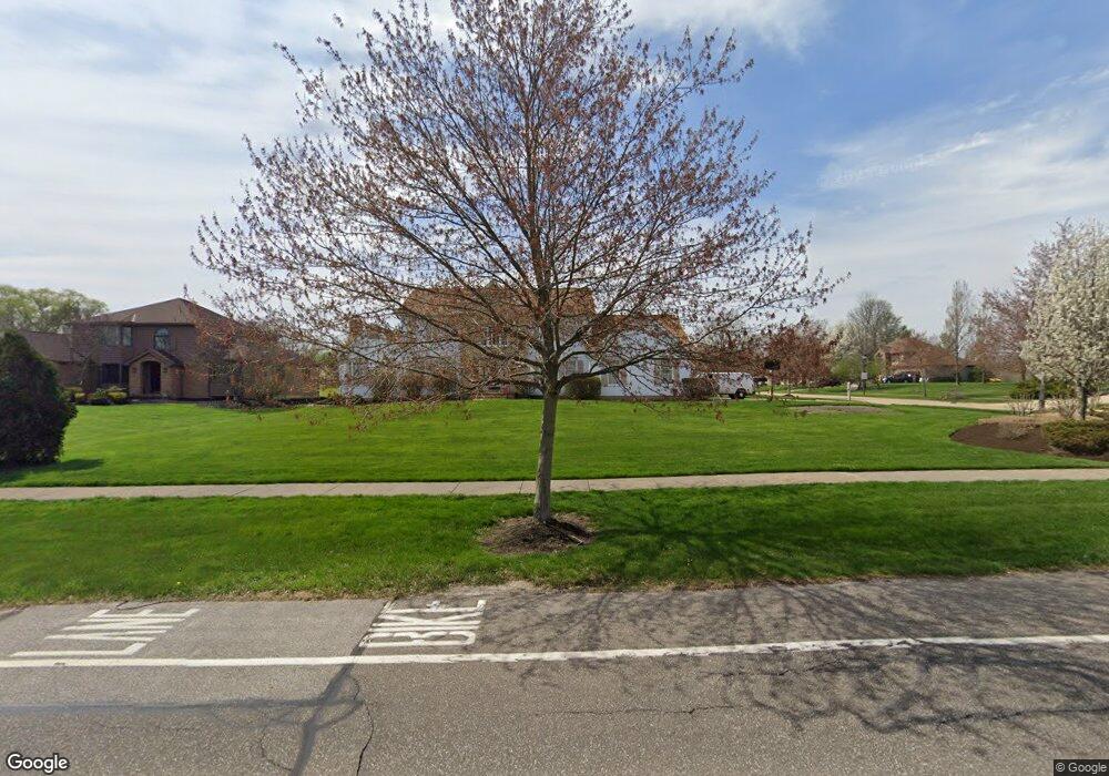
This home is located at 5848 Liberty Rd, Solon, OH 44139 and is currently estimated at $559,709, approximately $173 per square foot. 5848 Liberty Rd is a home located in Cuyahoga County with nearby schools including Orchard Middle School, Parkside Elementary School, and Solon Middle School.
Ownership History
Date
Name
Owned For
Owner Type
Purchase Details
Closed on
Feb 1, 1994
Bought by
Sensesak Leanne M
Current Estimated Value
Purchase Details
Closed on
Jun 4, 1992
Bought by
D & M Builders, Inc.
Purchase Details
Closed on
Jun 12, 1990
Sold by
Curva John L
Bought by
D O C Construction, Inc.
Purchase Details
Closed on
Jun 4, 1990
Bought by
Curva John L
Purchase Details
Closed on
Oct 14, 1988
Bought by
Trinity Development Co, Inc.
Purchase Details
Closed on
Jan 1, 1988
Bought by
Pepper Dev Corp
Create a Home Valuation Report for This Property
The Home Valuation Report is an in-depth analysis detailing your home's value as well as a comparison with similar homes in the area
Home Values in the Area
Average Home Value in this Area
Purchase History
| Date | Buyer | Sale Price | Title Company |
|---|---|---|---|
| Sensesak Leanne M | $320,000 | -- | |
| D & M Builders, Inc. | $65,000 | -- | |
| D O C Construction, Inc. | $25,000 | -- | |
| Curva John L | -- | -- | |
| Trinity Development Co, Inc. | -- | -- | |
| Pepper Dev Corp | -- | -- |
Source: Public Records
Tax History
| Year | Tax Paid | Tax Assessment Tax Assessment Total Assessment is a certain percentage of the fair market value that is determined by local assessors to be the total taxable value of land and additions on the property. | Land | Improvement |
|---|---|---|---|---|
| 2024 | $8,960 | $163,730 | $33,460 | $130,270 |
| 2023 | $9,095 | $135,940 | $31,010 | $104,930 |
| 2022 | $9,076 | $135,940 | $31,010 | $104,930 |
| 2021 | $8,973 | $135,940 | $31,010 | $104,930 |
| 2020 | $9,255 | $128,240 | $29,260 | $98,980 |
| 2019 | $8,964 | $366,400 | $83,600 | $282,800 |
| 2018 | $8,025 | $128,240 | $29,260 | $98,980 |
| 2017 | $7,847 | $118,550 | $16,560 | $101,990 |
| 2016 | $7,773 | $118,550 | $16,560 | $101,990 |
| 2015 | $7,717 | $118,550 | $16,560 | $101,990 |
| 2014 | $7,717 | $113,510 | $15,330 | $98,180 |
Source: Public Records
Map
Nearby Homes
- 37222 Deer Run
- 35906 Solon Rd
- 36845 Aberdeen Ln
- 6331 Chagrin River Rd
- 34840 Sherwood Dr
- V/L Bainbridge Rd
- 34040 Sherbrook Park Dr
- 65 Quail Ridge Dr
- 5721 Som Center Rd Unit 25
- 5721 Som Center Rd Unit 18
- 5011 Nob Hill Dr Unit 11C
- 6442 Dorset Ln
- 39700 Alsace Ct
- 32957 Springside Ln
- 6000 Nob Hill Dr Unit F113
- 318 Hillside Ln
- 16690 Dayton St
- 16788 Geneva St
- 32760 Ledge Hill Dr
- 17552 Gates Landing Dr
- 5858 Liberty Rd
- 37206 Landings Dr
- 5828 Liberty Rd
- 5868 Liberty Rd
- 37196 Landings Dr
- 5878 Liberty Rd
- 5818 Liberty Rd
- 37311 Landings Dr
- 5845 Liberty Rd
- 5855 Liberty Rd
- 5835 Liberty Rd
- 37201 Landings Dr
- 5865 Liberty Rd
- 37186 Landings Dr
- 5875 Liberty Rd
- 37193 Oneill Dr
- 5888 Liberty Rd
- 37191 Landings Dr
- 5808 Liberty Rd
- 5850 Deepwood Trail
Your Personal Tour Guide
Ask me questions while you tour the home.