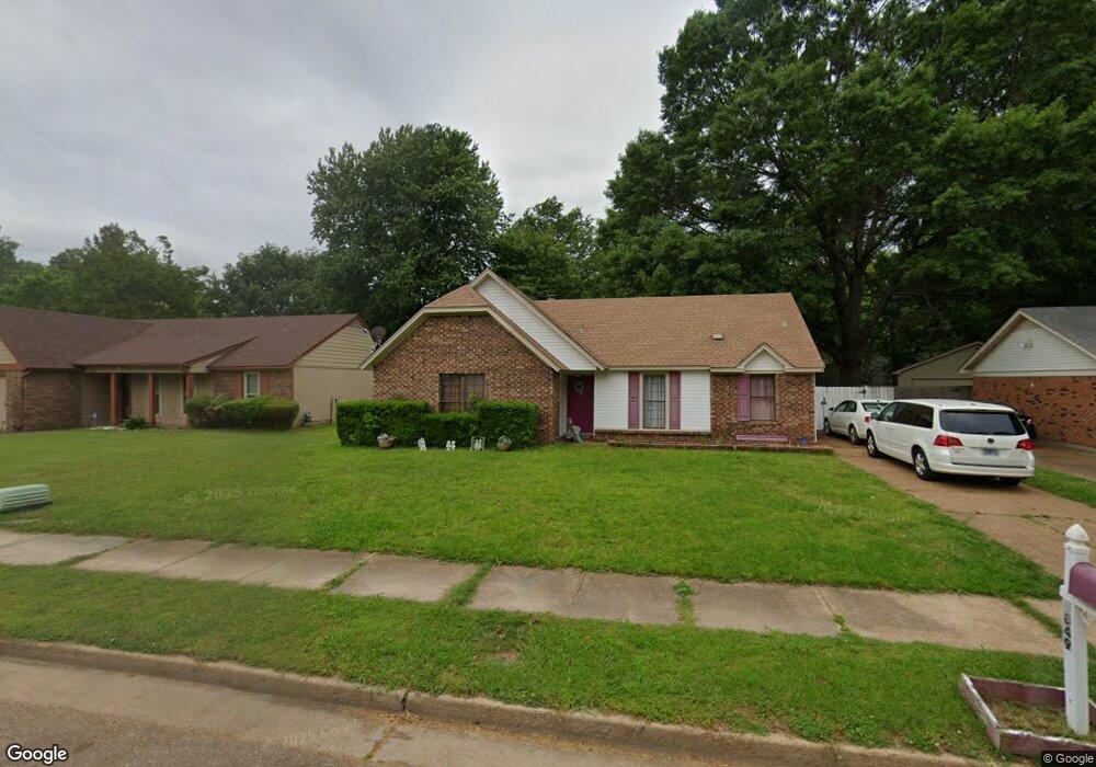
5849 Lake Port Dr Millington, TN 38053
Estimated Value: $183,826 - $202,000
3
Beds
2
Baths
1,362
Sq Ft
$143/Sq Ft
Est. Value
About This Home
This home is located at 5849 Lake Port Dr, Millington, TN 38053 and is currently estimated at $195,207, approximately $143 per square foot. 5849 Lake Port Dr is a home located in Shelby County with nearby schools including Lucy Elementary School, Woodstock Middle School, and Bolton High School.
Ownership History
Date
Name
Owned For
Owner Type
Purchase Details
Closed on
Feb 25, 2005
Sold by
Ash Eileen M and Ash Richard E
Bought by
Delarosa Rolando and Delarosa Laura
Current Estimated Value
Home Financials for this Owner
Home Financials are based on the most recent Mortgage that was taken out on this home.
Original Mortgage
$80,000
Outstanding Balance
$40,558
Interest Rate
5.61%
Mortgage Type
Purchase Money Mortgage
Estimated Equity
$154,649
Create a Home Valuation Report for This Property
The Home Valuation Report is an in-depth analysis detailing your home's value as well as a comparison with similar homes in the area
Home Values in the Area
Average Home Value in this Area
Purchase History
| Date | Buyer | Sale Price | Title Company |
|---|---|---|---|
| Delarosa Rolando | $80,000 | -- |
Source: Public Records
Mortgage History
| Date | Status | Borrower | Loan Amount |
|---|---|---|---|
| Open | Delarosa Rolando | $80,000 |
Source: Public Records
Tax History Compared to Growth
Tax History
| Year | Tax Paid | Tax Assessment Tax Assessment Total Assessment is a certain percentage of the fair market value that is determined by local assessors to be the total taxable value of land and additions on the property. | Land | Improvement |
|---|---|---|---|---|
| 2025 | $1,057 | $45,150 | $5,000 | $40,150 |
| 2024 | $1,057 | $31,175 | $3,725 | $27,450 |
| 2023 | $1,057 | $31,175 | $3,725 | $27,450 |
| 2022 | $1,057 | $31,175 | $3,725 | $27,450 |
| 2021 | $1,076 | $31,175 | $3,725 | $27,450 |
| 2020 | $738 | $18,225 | $3,725 | $14,500 |
| 2019 | $738 | $18,225 | $3,725 | $14,500 |
| 2018 | $738 | $18,225 | $3,725 | $14,500 |
| 2017 | $749 | $18,225 | $3,725 | $14,500 |
| 2016 | $757 | $17,325 | $0 | $0 |
| 2014 | $757 | $17,325 | $0 | $0 |
Source: Public Records
Map
Nearby Homes
- 4392 Ridge Bay Cove
- 4385 Ridge Bay Cove
- 4428 Duncan Rd
- 5975 Prairie Cove
- 4339 Waverly Farms Rd
- 4551 Waverly Farms Rd
- 4578 Basun Cir E
- 6866 Basun Cir E
- 4140 Pleasant Ridge Rd
- 3545 Lucy Rd
- 4235 Sykes Rd
- 4600 Goldsby Place
- 4537 Basun Cir S
- 4703 Cedar Rose Dr
- 4036 Hinge Gate Ln
- 4062 Hinge Gate Ln
- 4050 Hinge Gate Ln
- 3945 Crenshaw Rd
- 4746 Royal View Dr
- 4709 Old Raleigh Millington Rd
- 5843 Lake Port Dr
- 5857 Lake Port Dr
- 4399 Port Haven Cove
- 5837 Lake Port Dr
- 5863 Lake Port Dr
- 4395 Port Haven Cove
- 4403 Port Haven Cove
- 5840 Port Haven Rd
- 5848 Lake Port Dr
- 5829 Lake Port Dr
- 5842 Lake Port Dr
- 5856 Lake Port Dr
- 5871 Lake Port Dr
- 5832 Port Haven Rd
- 5836 Lake Port Dr
- 5862 Lake Port Dr
- 5848 Port Haven Rd
- 5823 Lake Port Dr
- 5824 Port Haven Rd
- 4402 Port Haven Cove