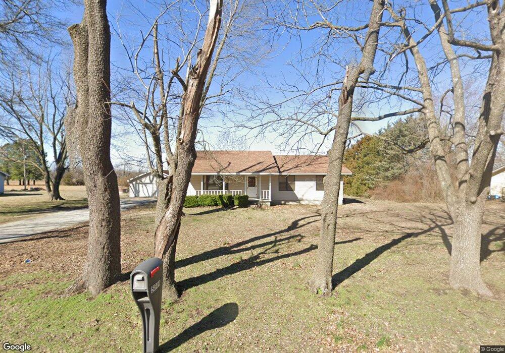
5849 Pearl St Joplin, MO 64801
Estimated Value: $208,328 - $270,000
3
Beds
2
Baths
1,437
Sq Ft
$175/Sq Ft
Est. Value
About This Home
This home is located at 5849 Pearl St, Joplin, MO 64801 and is currently estimated at $251,832, approximately $175 per square foot. 5849 Pearl St is a home located in Jasper County with nearby schools including Carl Junction Primary School (K-1), Carl Junction Intermediate School, and Carl Junction Primary School (2-3).
Ownership History
Date
Name
Owned For
Owner Type
Purchase Details
Closed on
Nov 12, 2020
Sold by
Conklin T
Bought by
Bond Brandon and Bond Kayla
Current Estimated Value
Home Financials for this Owner
Home Financials are based on the most recent Mortgage that was taken out on this home.
Original Mortgage
$100,000
Outstanding Balance
$89,510
Interest Rate
2.8%
Mortgage Type
New Conventional
Estimated Equity
$162,322
Purchase Details
Closed on
Nov 3, 2011
Sold by
Conklin Norman K and Conklin Chaille E
Bought by
Conklin Norman K and Conklin Chaille E
Purchase Details
Closed on
Jun 29, 2007
Sold by
Montez Justin M and Montez Utona
Bought by
Conklin Norman K and Conklin Chaille E
Home Financials for this Owner
Home Financials are based on the most recent Mortgage that was taken out on this home.
Original Mortgage
$92,000
Interest Rate
6.37%
Mortgage Type
Purchase Money Mortgage
Create a Home Valuation Report for This Property
The Home Valuation Report is an in-depth analysis detailing your home's value as well as a comparison with similar homes in the area
Home Values in the Area
Average Home Value in this Area
Purchase History
| Date | Buyer | Sale Price | Title Company |
|---|---|---|---|
| Bond Brandon | -- | None Available | |
| Conklin Norman K | -- | None Available | |
| Conklin Norman K | -- | Fatco |
Source: Public Records
Mortgage History
| Date | Status | Borrower | Loan Amount |
|---|---|---|---|
| Open | Bond Brandon | $100,000 | |
| Previous Owner | Conklin Norman K | $92,000 |
Source: Public Records
Tax History Compared to Growth
Tax History
| Year | Tax Paid | Tax Assessment Tax Assessment Total Assessment is a certain percentage of the fair market value that is determined by local assessors to be the total taxable value of land and additions on the property. | Land | Improvement |
|---|---|---|---|---|
| 2024 | $924 | $20,510 | $2,710 | $17,800 |
| 2023 | $924 | $20,510 | $2,710 | $17,800 |
| 2022 | $857 | $18,880 | $2,710 | $16,170 |
| 2021 | $851 | $18,880 | $2,710 | $16,170 |
| 2020 | $813 | $17,830 | $2,710 | $15,120 |
| 2019 | $813 | $17,830 | $2,710 | $15,120 |
| 2018 | $777 | $17,090 | $0 | $0 |
| 2017 | $779 | $17,090 | $0 | $0 |
| 2016 | $805 | $17,810 | $0 | $0 |
| 2015 | $786 | $17,810 | $0 | $0 |
| 2014 | $786 | $17,810 | $0 | $0 |
Source: Public Records
Map
Nearby Homes
- Xxx Wall St
- 5981 Pearl St
- Lot 1 Hwy 171 & Fir Rd
- Lot 1A Hwy 171 & Fir Rd
- Lot 1B Hwy 171 & Fir Rd
- 25327 Central Ave
- LOT 4C Hwy 171 & Fir Rd Unit 4C
- TBD N Main Street Rd
- 5885 N Main Street Rd
- 5147 N Main Street Rd
- 701 Woodland St
- 25949 Paper Loop
- 6548 Mo-171
- XXX Lone Elm
- 235 Timber Ln
- 5854 County Rd 263
- 5854 County Road 263
- 205 Hickory Place
- 512 Dogwood Trails Loop
- 232 Hickory Place