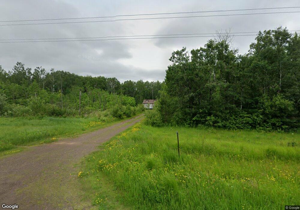
585 Airport Rd Two Harbors, MN 55616
Estimated Value: $322,590 - $327,000
1
Bed
1
Bath
1,008
Sq Ft
$322/Sq Ft
Est. Value
About This Home
This home is located at 585 Airport Rd, Two Harbors, MN 55616 and is currently estimated at $324,530, approximately $321 per square foot. 585 Airport Rd is a home with nearby schools including Minnehaha Elementary School and Two Harbors Secondary.
Create a Home Valuation Report for This Property
The Home Valuation Report is an in-depth analysis detailing your home's value as well as a comparison with similar homes in the area
Home Values in the Area
Average Home Value in this Area
Tax History Compared to Growth
Tax History
| Year | Tax Paid | Tax Assessment Tax Assessment Total Assessment is a certain percentage of the fair market value that is determined by local assessors to be the total taxable value of land and additions on the property. | Land | Improvement |
|---|---|---|---|---|
| 2025 | $1,456 | $268,800 | $119,400 | $149,400 |
| 2024 | $967 | $241,500 | $109,200 | $132,300 |
| 2023 | $922 | $236,400 | $109,200 | $127,200 |
| 2022 | $1,327 | $204,000 | $94,700 | $109,300 |
| 2021 | $1,312 | $160,800 | $91,200 | $69,600 |
| 2020 | $1,277 | $109,300 | $83,800 | $25,500 |
| 2019 | $1,269 | $109,600 | $84,100 | $25,500 |
| 2018 | $1,187 | $143,700 | $84,100 | $59,600 |
| 2017 | $1,067 | $132,300 | $78,400 | $53,900 |
| 2016 | $1,020 | $120,900 | $75,800 | $45,100 |
| 2015 | $1,050 | $115,600 | $70,500 | $45,100 |
| 2014 | $1,050 | $0 | $0 | $0 |
| 2013 | $929 | $0 | $0 | $0 |
Source: Public Records
Map
Nearby Homes
- 608 Airport Rd
- 639 Airport Rd
- 1647 Highway 12
- 1663 Highway 12
- 1763 Highway 12
- 1805 Highway 12
- 1688 Highway 12
- 1621 Highway 12
- 1621 Highway 12
- 1621 County Rd 12
- 1641 Highway 12
- 498 Airport Rd
- 1756 Highway 12
- 1648 Highway 12
- 1738 Highway 12
- 1618 Highway 12
- 1806 Hwy 12
- 1806 Highway 12
- 1573 Highway 12
- 1816 Highway 12
