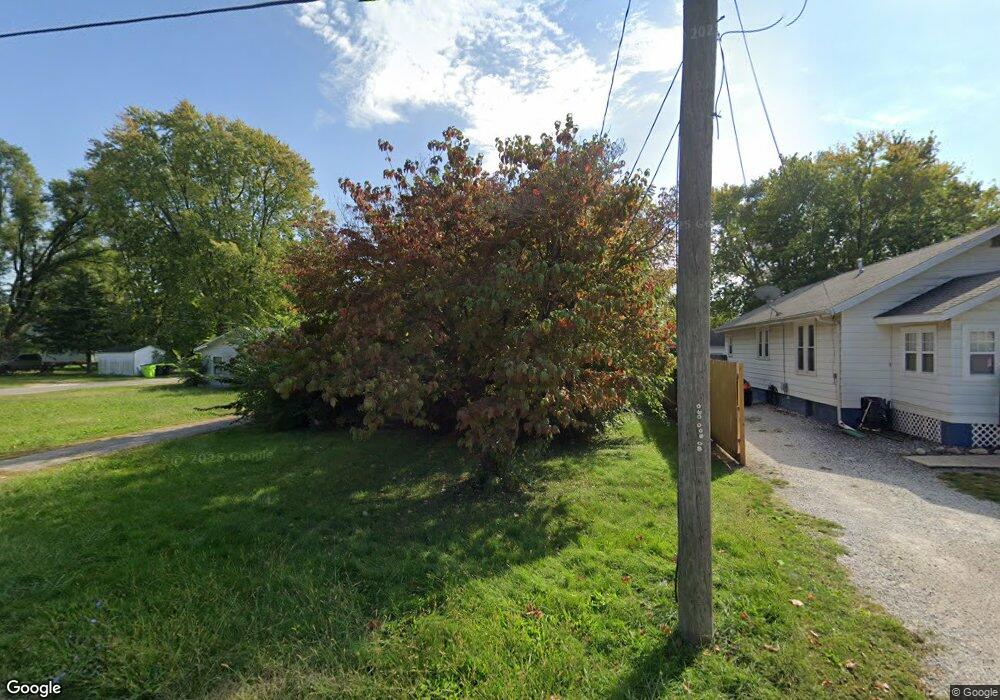
585 E Independence Ave Jacksonville, IL 62650
Estimated Value: $54,555 - $59,000
Studio
--
Bath
960
Sq Ft
$58/Sq Ft
Est. Value
About This Home
This home is located at 585 E Independence Ave, Jacksonville, IL 62650 and is currently estimated at $56,139, approximately $58 per square foot. 585 E Independence Ave is a home located in Morgan County with nearby schools including Jacksonville High School, Salem Lutheran School, and Salem Lutheran School.
Ownership History
Date
Name
Owned For
Owner Type
Purchase Details
Closed on
Aug 30, 2007
Sold by
Beard Noel R and Beard Katheleen M
Bought by
Baptist Kerry
Current Estimated Value
Home Financials for this Owner
Home Financials are based on the most recent Mortgage that was taken out on this home.
Original Mortgage
$34,200
Outstanding Balance
$5,807
Interest Rate
6.71%
Mortgage Type
New Conventional
Estimated Equity
$50,332
Purchase Details
Closed on
Jan 10, 2003
Sold by
Watson Alta L C/O Baptist Kathryn L
Bought by
Beard Noel R Kathleen M
Create a Home Valuation Report for This Property
The Home Valuation Report is an in-depth analysis detailing your home's value as well as a comparison with similar homes in the area
Home Values in the Area
Average Home Value in this Area
Purchase History
| Date | Buyer | Sale Price | Title Company |
|---|---|---|---|
| Baptist Kerry | $36,000 | None Available | |
| Beard Noel R Kathleen M | $30,000 | -- |
Source: Public Records
Mortgage History
| Date | Status | Borrower | Loan Amount |
|---|---|---|---|
| Open | Baptist Kerry | $34,200 |
Source: Public Records
Tax History
| Year | Tax Paid | Tax Assessment Tax Assessment Total Assessment is a certain percentage of the fair market value that is determined by local assessors to be the total taxable value of land and additions on the property. | Land | Improvement |
|---|---|---|---|---|
| 2024 | $502 | $11,870 | $830 | $11,040 |
| 2023 | $425 | $10,510 | $830 | $9,680 |
| 2022 | $892 | $15,360 | $830 | $14,530 |
| 2021 | $698 | $13,480 | $830 | $12,650 |
| 2020 | $725 | $13,480 | $830 | $12,650 |
| 2019 | $853 | $14,890 | $830 | $14,060 |
| 2018 | $810 | $14,890 | $830 | $14,060 |
| 2017 | $792 | $14,890 | $830 | $14,060 |
| 2016 | $800 | $14,890 | $830 | $14,060 |
| 2015 | $823 | $14,890 | $830 | $14,060 |
| 2014 | $823 | $16,100 | $850 | $15,250 |
| 2013 | $873 | $16,100 | $850 | $15,250 |
Source: Public Records
Map
Nearby Homes
- 600 E Independence Ave
- 908 Hackett Ave
- None None Ave
- 826 N East St
- 636 N East St
- 617 N East St
- 619-621 Hooker St
- 607 N East St
- 321 Fulton St
- 1135 Allen Ave
- E Independence Ave
- 361 E Douglas Ave
- 215 Brown St
- 352 E State St
- 314 W Douglas Ave
- 0 W Independence Ave
- 613 E College Ave Unit 4
- 223 Hardin Ave
- 1040 N Church St
- 1080 N Fayette St
- 587 E Independence Ave
- 583 E Independence Ave
- 495 E Independence Ave
- 493 E Independence Ave
- 805 Hackett Ave
- 733 Allen Ave
- 743 Allen Ave
- 807 Hackett Ave
- 804 Hackett Ave
- 745 Allen Ave
- 731 Allen Ave
- 806 Hackett Ave
- 810 Beesley Ave
- 809 Hackett Ave
- 729 Allen Ave
- 489 E Independence Ave
- 808 Hackett Ave
- 801 Allen Ave
- 816 Beesley Ave
- 810 Hackett Ave
Your Personal Tour Guide
Ask me questions while you tour the home.