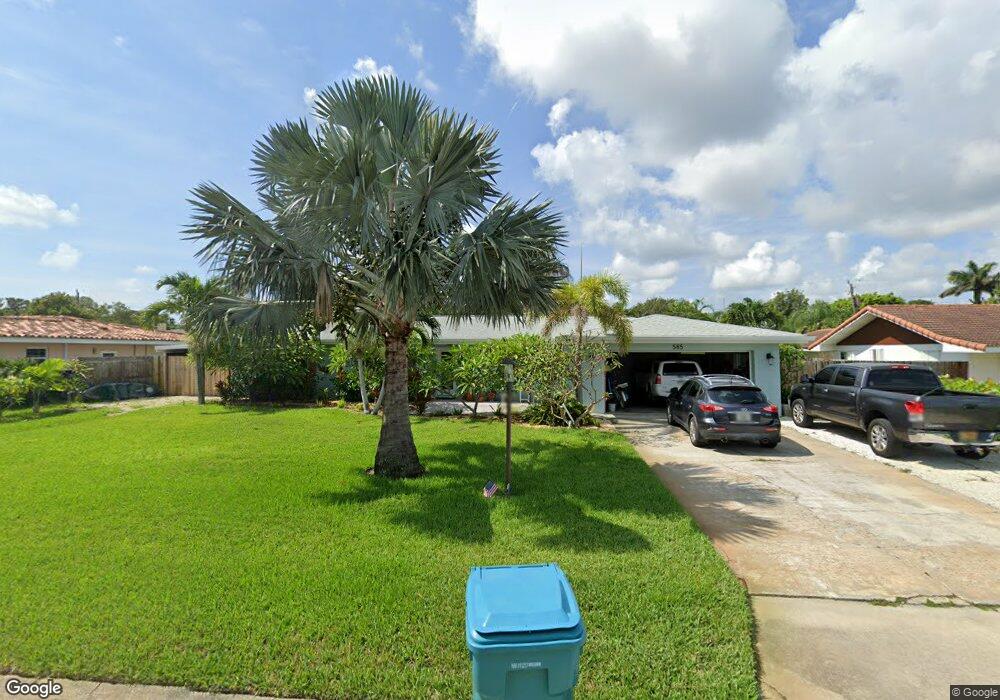
585 Norwood Ct Satellite Beach, FL 32937
Estimated Value: $548,797 - $729,000
3
Beds
2
Baths
1,950
Sq Ft
$323/Sq Ft
Est. Value
About This Home
This home is located at 585 Norwood Ct, Satellite Beach, FL 32937 and is currently estimated at $630,449, approximately $323 per square foot. 585 Norwood Ct is a home located in Brevard County with nearby schools including Surfside Elementary School, Satellite Senior High School, and DeLaura Middle School.
Ownership History
Date
Name
Owned For
Owner Type
Purchase Details
Closed on
Sep 28, 2010
Sold by
Mackey James B and Mackey Trudy K
Bought by
Stocks Christopher J and Stocks Jaime M
Current Estimated Value
Home Financials for this Owner
Home Financials are based on the most recent Mortgage that was taken out on this home.
Original Mortgage
$172,000
Interest Rate
4.42%
Create a Home Valuation Report for This Property
The Home Valuation Report is an in-depth analysis detailing your home's value as well as a comparison with similar homes in the area
Home Values in the Area
Average Home Value in this Area
Purchase History
| Date | Buyer | Sale Price | Title Company |
|---|---|---|---|
| Stocks Christopher J | -- | Fidelity Natl Title Ins Co | |
| Stocks Christopher J | $215,000 | Fidelity Natl Title Ins Co |
Source: Public Records
Mortgage History
| Date | Status | Borrower | Loan Amount |
|---|---|---|---|
| Previous Owner | Stocks Christopher J | $172,000 |
Source: Public Records
Tax History Compared to Growth
Tax History
| Year | Tax Paid | Tax Assessment Tax Assessment Total Assessment is a certain percentage of the fair market value that is determined by local assessors to be the total taxable value of land and additions on the property. | Land | Improvement |
|---|---|---|---|---|
| 2025 | $2,601 | $174,380 | -- | -- |
| 2024 | $2,555 | $169,470 | -- | -- |
| 2023 | $2,555 | $164,540 | $0 | $0 |
| 2022 | $2,389 | $159,750 | $0 | $0 |
| 2021 | $2,455 | $155,100 | $0 | $0 |
| 2020 | $2,444 | $152,960 | $0 | $0 |
| 2019 | $2,424 | $149,530 | $0 | $0 |
| 2018 | $2,423 | $146,750 | $0 | $0 |
| 2017 | $2,259 | $143,740 | $0 | $0 |
| 2016 | $2,263 | $140,790 | $80,000 | $60,790 |
| 2015 | $2,316 | $139,820 | $70,000 | $69,820 |
| 2014 | $2,318 | $138,710 | $65,000 | $73,710 |
Source: Public Records
Map
Nearby Homes
- 1341 S Patrick Dr
- 545 Teakwood Ave
- 595 Park Ave Unit 1
- 445 Park Ave
- 225 Hedgecock Ct
- 445 Saint Johns Dr
- 370 Cinnamon Dr
- 702 Mar Brisa Ct Unit U702
- 502 Bay Cir
- 368 Ocean Spray Ave
- 612 Mar Brisa Ct
- 325 Park Ave
- 366 Ocean Spray Ave
- 630 Seville Ct
- 527 Wilson Ave
- 320 Glenwood Ave
- 348 Sherwood Ave
- 240 Lansing Island Dr
- 310 Glenwood Ave
- 302 Markley Ct
- 575 Norwood Ct
- 550 Cinnamon Dr
- 560 Cinnamon Dr
- 580 Norwood Ct
- 565 Norwood Ct
- 540 Cinnamon Dr
- 580 Cinnamon Dr
- 570 Norwood Ct
- 599 Norwood Ct
- 590 Norwood Ct
- 560 Norwood Ct
- 390 Lemon St
- 1 Landscaping Business
- 1 A1a
- 0 Highway A1a Unit 584690
- 0 Highway A1a Unit 301198
- 0 Highway A1a Unit 324466
- 0 Highway A1a Unit 301469
- 0 Highway A1a Unit 435384
- 0 Highway A1a Unit A 267360