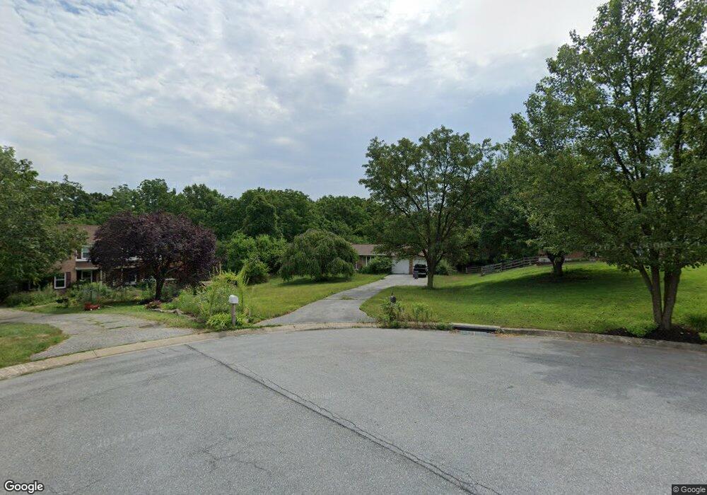
585 Owings Ct Westminster, MD 21157
Estimated Value: $436,000 - $494,000
3
Beds
3
Baths
1,628
Sq Ft
$292/Sq Ft
Est. Value
About This Home
This home is located at 585 Owings Ct, Westminster, MD 21157 and is currently estimated at $476,109, approximately $292 per square foot. 585 Owings Ct is a home located in Carroll County with nearby schools including Robert Moton Elementary School, Westminster West Middle School, and Westminster High School.
Ownership History
Date
Name
Owned For
Owner Type
Purchase Details
Closed on
Mar 23, 2010
Sold by
Culan Paul D
Bought by
Culan Paul D
Current Estimated Value
Purchase Details
Closed on
Nov 19, 2001
Sold by
Dinunzio Michael W
Bought by
Culan Paul D and Culan Donna M
Purchase Details
Closed on
May 10, 1994
Sold by
Newberry Michael A
Bought by
Dinunzio Michael W
Home Financials for this Owner
Home Financials are based on the most recent Mortgage that was taken out on this home.
Original Mortgage
$50,000
Interest Rate
7.7%
Create a Home Valuation Report for This Property
The Home Valuation Report is an in-depth analysis detailing your home's value as well as a comparison with similar homes in the area
Home Values in the Area
Average Home Value in this Area
Purchase History
| Date | Buyer | Sale Price | Title Company |
|---|---|---|---|
| Culan Paul D | -- | -- | |
| Culan Paul D | $188,500 | -- | |
| Dinunzio Michael W | $159,000 | -- |
Source: Public Records
Mortgage History
| Date | Status | Borrower | Loan Amount |
|---|---|---|---|
| Previous Owner | Dinunzio Michael W | $50,000 |
Source: Public Records
Tax History Compared to Growth
Tax History
| Year | Tax Paid | Tax Assessment Tax Assessment Total Assessment is a certain percentage of the fair market value that is determined by local assessors to be the total taxable value of land and additions on the property. | Land | Improvement |
|---|---|---|---|---|
| 2025 | $3,732 | $349,400 | $0 | $0 |
| 2024 | $3,732 | $327,900 | $0 | $0 |
| 2023 | $3,491 | $306,400 | $137,900 | $168,500 |
| 2022 | $3,363 | $294,933 | $0 | $0 |
| 2021 | $6,646 | $283,467 | $0 | $0 |
| 2020 | $3,134 | $272,000 | $137,900 | $134,100 |
| 2019 | $3,134 | $272,000 | $137,900 | $134,100 |
| 2018 | $3,106 | $272,000 | $137,900 | $134,100 |
| 2017 | $3,134 | $274,500 | $0 | $0 |
| 2016 | -- | $272,333 | $0 | $0 |
| 2015 | -- | $270,167 | $0 | $0 |
| 2014 | -- | $268,000 | $0 | $0 |
Source: Public Records
Map
Nearby Homes
- 1175 Chandler Dr
- 0707007728 Hook Rd Unit NOTTINGHAM
- 0707007728 Hook Rd Unit DEVONSHIRE
- 0707007728 Hook Rd Unit COVINGTON
- 0707007728 Hook Rd Unit MAGNOLIA
- 0707007728 Hook Rd Unit SAVANNAH
- 314 Barnes Ave
- 727 Glen Dr
- 807 Tall Grass Rd
- The Lynwood Plan at Walnut Ridge
- The Albany Plan at Walnut Ridge
- The Sheffield Plan at Walnut Ridge
- New Castle Plan at Walnut Ridge
- 660 N Chandler Dr
- 150 Hook Rd
- 965 Tara Oaks Ct
- 702 Starry Night Dr
- 225 Rose Ave
- 1700 Nelson Rd
- 1696 Nelson Rd
- 590 Owings Ct
- 555 Owings Ct
- 535 Owings Ct
- 570 Owings Ct
- 550 Owings Ct
- 515 Owings Ct
- 520 Owings Ct
- 1220 Owings Rd
- 650 Alpine Ln
- 654 Alpine Ln
- 652 Alpine Ln
- 656 Alpine Ln
- 1180 Owings Rd
- 1171 Owings Rd
- 1020 Poole Rd Unit 1020 Poole Road; Wes
- 1020 Poole Rd
- 1210 Owings Rd
- 1175 Owings Rd
- 1170 Owings Rd
- 1230 Owings Rd