585 Ramsfield Rd Bigfork, MT 59911
Estimated Value: $844,000 - $2,056,000
2
Beds
1
Bath
1,200
Sq Ft
$1,210/Sq Ft
Est. Value
About This Home
This home is located at 585 Ramsfield Rd, Bigfork, MT 59911 and is currently estimated at $1,451,569, approximately $1,209 per square foot. 585 Ramsfield Rd is a home located in Flathead County with nearby schools including Bigfork Elementary School, Bigfork Middle School, and Bigfork High School.
Ownership History
Date
Name
Owned For
Owner Type
Purchase Details
Closed on
Aug 18, 2021
Sold by
Johnson Eric W and Johnson Diane E
Bought by
Thompson Susan A and Thompson Christopher S
Current Estimated Value
Home Financials for this Owner
Home Financials are based on the most recent Mortgage that was taken out on this home.
Original Mortgage
$1,680,000
Outstanding Balance
$1,527,640
Interest Rate
2.9%
Mortgage Type
New Conventional
Estimated Equity
-$76,071
Create a Home Valuation Report for This Property
The Home Valuation Report is an in-depth analysis detailing your home's value as well as a comparison with similar homes in the area
Home Values in the Area
Average Home Value in this Area
Purchase History
| Date | Buyer | Sale Price | Title Company |
|---|---|---|---|
| Thompson Susan A | -- | Fidelity National Title |
Source: Public Records
Mortgage History
| Date | Status | Borrower | Loan Amount |
|---|---|---|---|
| Open | Thompson Susan A | $1,680,000 |
Source: Public Records
Tax History
| Year | Tax Paid | Tax Assessment Tax Assessment Total Assessment is a certain percentage of the fair market value that is determined by local assessors to be the total taxable value of land and additions on the property. | Land | Improvement |
|---|---|---|---|---|
| 2025 | $3,775 | $1,042,500 | $0 | $0 |
| 2024 | $3,715 | $737,400 | $0 | $0 |
| 2023 | $3,846 | $737,400 | $0 | $0 |
| 2022 | $3,186 | $476,770 | $0 | $0 |
| 2021 | $2,570 | $350,690 | $0 | $0 |
| 2020 | $2,427 | $305,200 | $0 | $0 |
| 2019 | $2,335 | $305,200 | $0 | $0 |
| 2018 | $2,345 | $289,400 | $0 | $0 |
| 2017 | $2,260 | $289,400 | $0 | $0 |
| 2016 | $2,587 | $338,000 | $0 | $0 |
| 2015 | $2,008 | $338,000 | $0 | $0 |
| 2014 | $1,915 | $183,075 | $0 | $0 |
Source: Public Records
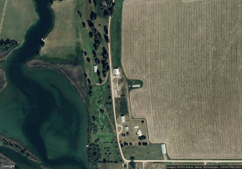
Map
Nearby Homes
- 200 Sportsman Ln
- 1262 Riverside Rd
- 233 Coverdell Rd
- 306 Parker Lakes Rd
- 145 Fox Run Ct
- 153 Fox Run Ct
- 107 Whitetail Ct
- 181 Fox Run Ct
- 161 Fox Run Ct
- 344 Chapman Ln
- 173 Fox Run Ct
- 106 Golden Bear Dr
- 29 Bearpaw Loop
- 351 Chapman Ln
- 112 Golden Bear Dr
- 116 Golden Bear Dr
- 220 Bridger Dr
- 221 Belterra Ln
- 266 Eagle Bend Dr
- 175 Aerie Place
- 585 Ramsfield Rd
- 585 Ramsfield Rd Unit & 700
- 564 Ramsfield Rd
- 450 Ramsfield Rd
- 460 Ramsfield Rd
- 700 Ramsfield Rd
- 700 Ramsfield Rd
- 620 Ramsfield Rd
- 380 Ramsfield Rd
- 290 Ramsfield Rd
- 285 Ramsfield Rd
- 845 N Ramsfield Rd
- 840 N Ramsfield Rd
- 134 Vista Dr
- TBD Ramsfield
- 850 N Ramsfield Rd
- 120 Vista Dr
- 111 Ramsfield Rd
- 2645 Mt Highway 82
- 105 Ramsfield Rd
Your Personal Tour Guide
Ask me questions while you tour the home.