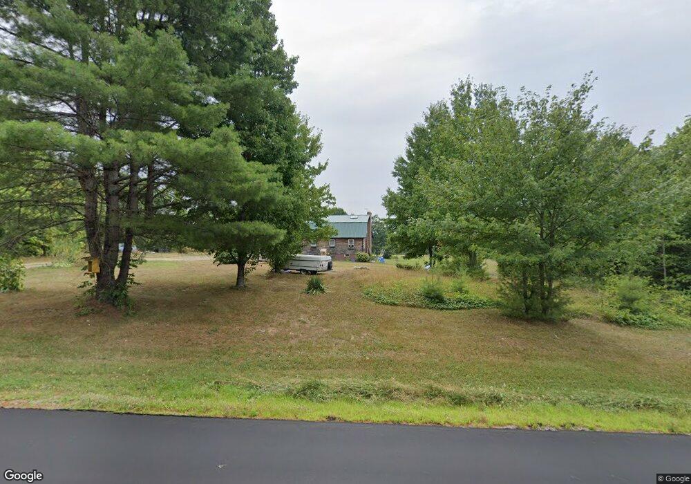
585 Stetson Rd Newport, ME 04953
Estimated Value: $251,000 - $436,000
4
Beds
2
Baths
1,430
Sq Ft
$243/Sq Ft
Est. Value
About This Home
This home is located at 585 Stetson Rd, Newport, ME 04953 and is currently estimated at $347,433, approximately $242 per square foot. 585 Stetson Rd is a home located in Penobscot County with nearby schools including Sebasticook Valley Elementary School and Nokomis Regional Middle School/High School.
Ownership History
Date
Name
Owned For
Owner Type
Purchase Details
Closed on
Jun 9, 2010
Sold by
Bell Ross A
Bought by
Gerry Leon R and Gerry Bobbie J
Current Estimated Value
Home Financials for this Owner
Home Financials are based on the most recent Mortgage that was taken out on this home.
Original Mortgage
$142,360
Outstanding Balance
$96,063
Interest Rate
5.11%
Mortgage Type
FHA
Estimated Equity
$251,370
Create a Home Valuation Report for This Property
The Home Valuation Report is an in-depth analysis detailing your home's value as well as a comparison with similar homes in the area
Home Values in the Area
Average Home Value in this Area
Purchase History
| Date | Buyer | Sale Price | Title Company |
|---|---|---|---|
| Gerry Leon R | -- | -- | |
| Gerry Leon R | -- | -- |
Source: Public Records
Mortgage History
| Date | Status | Borrower | Loan Amount |
|---|---|---|---|
| Open | Gerry Leon R | $142,360 | |
| Closed | Gerry Leon R | $142,360 |
Source: Public Records
Tax History Compared to Growth
Tax History
| Year | Tax Paid | Tax Assessment Tax Assessment Total Assessment is a certain percentage of the fair market value that is determined by local assessors to be the total taxable value of land and additions on the property. | Land | Improvement |
|---|---|---|---|---|
| 2024 | $3,474 | $198,500 | $37,600 | $160,900 |
| 2023 | $3,024 | $185,500 | $35,200 | $150,300 |
| 2022 | $2,873 | $146,600 | $27,800 | $118,800 |
| 2021 | $2,886 | $140,100 | $26,600 | $113,500 |
| 2020 | $2,833 | $137,500 | $26,100 | $111,400 |
| 2019 | $2,763 | $129,700 | $24,600 | $105,100 |
| 2018 | $2,763 | $129,700 | $24,600 | $105,100 |
| 2017 | $2,594 | $129,700 | $24,600 | $105,100 |
| 2016 | $2,516 | $129,700 | $24,600 | $105,100 |
| 2015 | $2,322 | $129,700 | $24,600 | $105,100 |
| 2014 | $2,233 | $129,800 | $24,600 | $105,200 |
Source: Public Records
Map
Nearby Homes
- 579 Stetson Rd
- 601 Stetson Rd
- 563 Stetson Rd
- 608 Stetson Rd
- 547 Stetson Rd
- 614 Stetson Rd
- 625 Stetson Rd
- 626 Stetson Rd
- Lot42-5 Sunrise Dr
- 527 Stetson Rd
- 642 Stetson Rd
- 523 Stetson Rd
- 524 Stetson Rd
- 517 Stetson Rd
- 670 Stetson Rd
- 497 Stetson Rd
- 271 Palmer Rd
- L 15-A-1 Durham Bridge Rd
- 12-3 Durham Bridge Rd
- 684 Stetson Rd