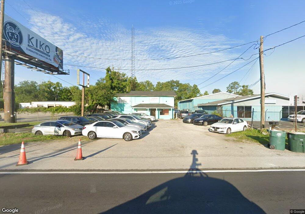
5850 Philips Hwy Jacksonville, FL 32216
San Jose NeighborhoodEstimated Value: $339,513 - $428,000
2
Beds
8
Baths
1,573
Sq Ft
$235/Sq Ft
Est. Value
About This Home
This home is located at 5850 Philips Hwy, Jacksonville, FL 32216 and is currently estimated at $369,171, approximately $234 per square foot. 5850 Philips Hwy is a home located in Duval County with nearby schools including San Jose Elementary School, Alfred I. Dupont Middle School, and Terry Parker High School.
Ownership History
Date
Name
Owned For
Owner Type
Purchase Details
Closed on
Sep 5, 2017
Sold by
Parker Properties Llc
Bought by
Adanio Rentals Bllc
Current Estimated Value
Purchase Details
Closed on
Jul 25, 2004
Sold by
Shirk Stephen P
Bought by
Parker Properties Llc
Purchase Details
Closed on
Jun 7, 1996
Sold by
Streeter Frank S and Streeter Roxanna M
Bought by
Shirk Stephen P
Create a Home Valuation Report for This Property
The Home Valuation Report is an in-depth analysis detailing your home's value as well as a comparison with similar homes in the area
Home Values in the Area
Average Home Value in this Area
Purchase History
| Date | Buyer | Sale Price | Title Company |
|---|---|---|---|
| Adanio Rentals Bllc | $200,000 | None Available | |
| Parker Properties Llc | -- | -- | |
| Shirk Stephen P | $129,000 | -- |
Source: Public Records
Tax History Compared to Growth
Tax History
| Year | Tax Paid | Tax Assessment Tax Assessment Total Assessment is a certain percentage of the fair market value that is determined by local assessors to be the total taxable value of land and additions on the property. | Land | Improvement |
|---|---|---|---|---|
| 2025 | $4,363 | $256,984 | -- | -- |
| 2024 | $4,333 | $233,622 | $86,049 | $147,573 |
| 2023 | $4,333 | $230,730 | $76,488 | $154,242 |
| 2022 | $3,900 | $217,853 | $76,488 | $141,365 |
| 2021 | $3,730 | $202,277 | $76,488 | $125,789 |
| 2020 | $3,647 | $196,381 | $76,488 | $119,893 |
| 2019 | $3,613 | $196,041 | $76,488 | $119,553 |
| 2018 | $3,464 | $172,100 | $76,488 | $95,612 |
| 2017 | $1,775 | $77,483 | $76,664 | $819 |
| 2016 | $2,155 | $96,558 | $0 | $0 |
| 2015 | $2,186 | $96,505 | $0 | $0 |
| 2014 | $2,205 | $96,508 | $0 | $0 |
Source: Public Records
Map
Nearby Homes
- 0 Richard St Unit 2115254
- 6552 La Mirada Dr E Unit 7
- 2944 University Blvd W
- 3917 Corrida Ct Unit 4
- 3878 La Mirada Dr N Unit 8
- 3866 Campenero Ct Unit 2
- 3906 Mission Dr Unit 1
- 6646 La Mirada Dr E Unit 6
- 3875 Mission Dr Unit 3
- 3064 Carrevero Dr W
- 3914 Toreador Ct Unit 5
- 3914 Toreador Ct Unit 3
- 3870 Mission Dr Unit 12
- 3857 Mission Dr Unit 1
- 6619 La Mirada Dr W Unit 2
- 4746 Southgate Dr
- 3861 Galicia Rd
- 6655 Bell Tower Ct Unit 5
- 6647 La Mirada Dr W Unit 4
- 3846 Galicia Rd
- 5732 Philips Hwy
- 5735 Philips Hwy
- 4801 Bowden Rd
- 5700 Philips Hwy
- 5031 Bowden Rd
- 5105 Bowden Rd
- 6125 Powers Ave
- Lot 6 University Blvd W
- Lot 5 University Blvd W
- 4026 University Blvd Ct
- 4026 University Boulevard Ct
- 6000 Powers Ave
- 6110 Powers Ave Unit 6
- 6110 Powers Ave
- 6120 Powers Ave
- 5515 Phillips Hwy
- 5836 Richard St
- 5515 Philips Hwy Unit 2
- 5515 Philips Hwy
- 5152 University Blvd W