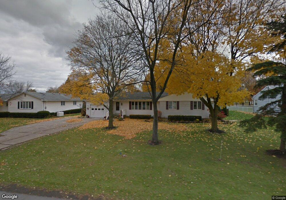
5853 Beattie Ave Lockport, NY 14094
South Lockport NeighborhoodEstimated Value: $277,000 - $347,000
4
Beds
3
Baths
1,772
Sq Ft
$177/Sq Ft
Est. Value
About This Home
This home is located at 5853 Beattie Ave, Lockport, NY 14094 and is currently estimated at $314,276, approximately $177 per square foot. 5853 Beattie Ave is a home located in Niagara County with nearby schools including Aaron Mossell Junior High School, Lockport High School, and Henrietta G Lewis Campus School.
Ownership History
Date
Name
Owned For
Owner Type
Purchase Details
Closed on
Aug 25, 2005
Sold by
Angelo Brad
Bought by
Haley Thomas
Current Estimated Value
Home Financials for this Owner
Home Financials are based on the most recent Mortgage that was taken out on this home.
Original Mortgage
$73,500
Interest Rate
5.79%
Mortgage Type
New Conventional
Purchase Details
Closed on
Jun 29, 1998
Sold by
Schuler Kurt T
Bought by
Martino James
Create a Home Valuation Report for This Property
The Home Valuation Report is an in-depth analysis detailing your home's value as well as a comparison with similar homes in the area
Home Values in the Area
Average Home Value in this Area
Purchase History
| Date | Buyer | Sale Price | Title Company |
|---|---|---|---|
| Haley Thomas | $133,500 | George V.C. Muscato | |
| Angelo Brad | $87,500 | Angela Stamm Philipps | |
| Martino James | $87,500 | -- |
Source: Public Records
Mortgage History
| Date | Status | Borrower | Loan Amount |
|---|---|---|---|
| Closed | Angelo Brad | $73,500 |
Source: Public Records
Tax History Compared to Growth
Tax History
| Year | Tax Paid | Tax Assessment Tax Assessment Total Assessment is a certain percentage of the fair market value that is determined by local assessors to be the total taxable value of land and additions on the property. | Land | Improvement |
|---|---|---|---|---|
| 2024 | $6,749 | $250,000 | $13,600 | $236,400 |
| 2023 | $5,738 | $205,000 | $13,600 | $191,400 |
| 2022 | $5,637 | $186,000 | $13,600 | $172,400 |
| 2021 | $5,855 | $159,000 | $13,600 | $145,400 |
| 2020 | $4,790 | $159,000 | $13,600 | $145,400 |
| 2019 | $2,775 | $145,000 | $13,600 | $131,400 |
| 2018 | $4,812 | $145,000 | $13,600 | $131,400 |
| 2017 | $4,525 | $135,000 | $13,600 | $121,400 |
| 2016 | $4,559 | $135,000 | $13,600 | $121,400 |
| 2015 | -- | $130,000 | $16,100 | $113,900 |
| 2014 | -- | $130,000 | $16,100 | $113,900 |
Source: Public Records
Map
Nearby Homes
- 6558 Royal Pkwy S
- 6429 Hamm Rd
- 6588 Royal Pkwy S
- 6598 Parkwood Dr
- 6364 Oconnor Dr
- 6354 Oconnor Dr
- 6632 Royal Pkwy N
- 1100 Beattie Ave
- 6355 Robinson Rd
- 6479 Dysinger Rd
- 6409 Buell Dr
- 6640 Royal Pkwy S
- 6393 Buell Dr
- 6667 Curtis Ct
- 6371 Badger Dr
- Patio A Plan at Lockhaven Estates
- Patio B Plan at Lockhaven Estates
- Patio D Plan at Lockhaven Estates
- 6673 Curtis Ct
- Patio C Plan at Lockhaven Estates
- 5857 Beattie Ave
- 5839 Beattie Ave
- 5833 Beattie Ave
- 5859 Beattie Ave
- 6560 Royal Pkwy S
- 5876 Marion Dr
- 6564 Royal Pkwy S
- 6439 Hamm Rd
- 5831 Beattie Ave
- 6436 Hamm Rd
- 5856 Beattie Ave
- 5860 Beattie Ave
- 5863 Beattie Ave
- 5878 Marion Dr
- 6435 Hamm Rd
- 6561 Royal Pkwy S
- 6568 Royal Pkwy S
- 6426 Hamm Rd
- 6551 Royal Pkwy N
- 5872 Beattie Ave