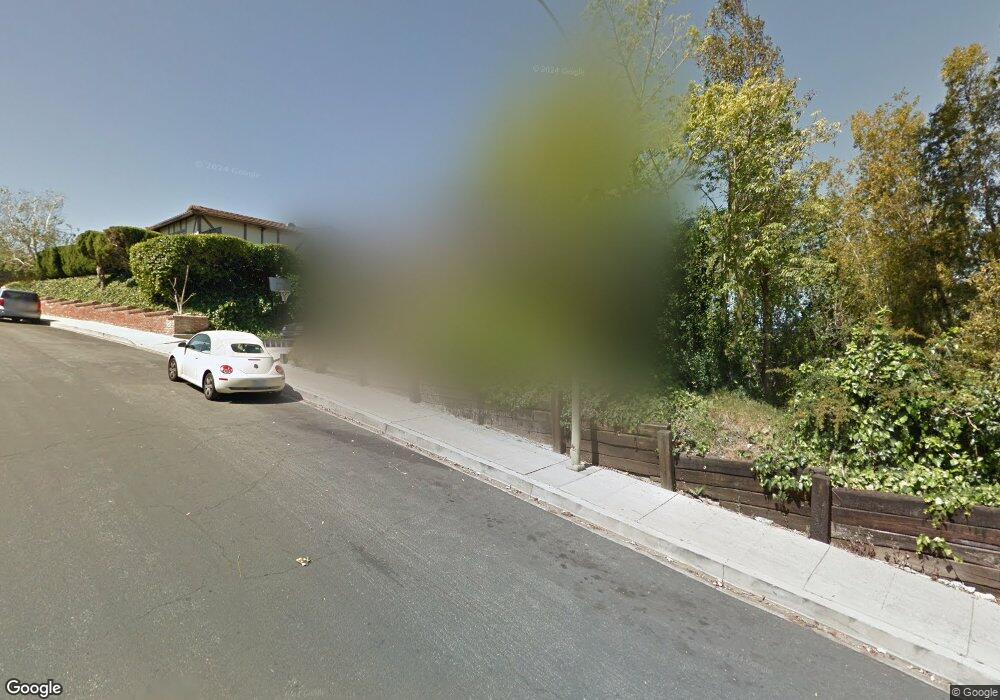
5855 Rolling Rd Woodland Hills, CA 91367
Estimated Value: $1,210,830 - $1,506,000
3
Beds
3
Baths
2,088
Sq Ft
$644/Sq Ft
Est. Value
About This Home
This home is located at 5855 Rolling Rd, Woodland Hills, CA 91367 and is currently estimated at $1,344,208, approximately $643 per square foot. 5855 Rolling Rd is a home located in Los Angeles County with nearby schools including Woodland Hills Academy, Hamlin Charter Academy, and Woodland Hills Elementary Charter For Enriched Studies.
Ownership History
Date
Name
Owned For
Owner Type
Purchase Details
Closed on
Mar 27, 2025
Sold by
Mercedes Madera Wilson 2015 Trust and Wilson Shane Anthony
Bought by
Wilson Sharmaine Yanntel and Wilson Shalymar Lianlynn
Current Estimated Value
Purchase Details
Closed on
Jun 19, 2021
Sold by
Solloway Robert Nathan
Bought by
Robert N Solloway Living Trust and Solloway
Purchase Details
Closed on
Nov 20, 2015
Sold by
Wilson Mercedes Madera
Bought by
Wilson Mercedes Madera and The Mercedes Madera Wilson 201
Create a Home Valuation Report for This Property
The Home Valuation Report is an in-depth analysis detailing your home's value as well as a comparison with similar homes in the area
Home Values in the Area
Average Home Value in this Area
Purchase History
| Date | Buyer | Sale Price | Title Company |
|---|---|---|---|
| Wilson Sharmaine Yanntel | -- | None Listed On Document | |
| Robert N Solloway Living Trust | -- | None Listed On Document | |
| Wilson Mercedes Madera | -- | None Available |
Source: Public Records
Tax History Compared to Growth
Tax History
| Year | Tax Paid | Tax Assessment Tax Assessment Total Assessment is a certain percentage of the fair market value that is determined by local assessors to be the total taxable value of land and additions on the property. | Land | Improvement |
|---|---|---|---|---|
| 2025 | $1,951 | $129,227 | $41,397 | $87,830 |
| 2024 | $1,951 | $126,694 | $40,586 | $86,108 |
| 2023 | $1,921 | $124,211 | $39,791 | $84,420 |
| 2022 | $1,847 | $121,776 | $39,011 | $82,765 |
| 2021 | $1,814 | $119,390 | $38,247 | $81,143 |
| 2019 | $1,768 | $115,850 | $37,113 | $78,737 |
| 2018 | $1,636 | $113,580 | $36,386 | $77,194 |
| 2016 | $1,445 | $100,604 | $34,974 | $65,630 |
| 2015 | $1,427 | $99,094 | $34,449 | $64,645 |
| 2014 | $1,442 | $97,154 | $33,775 | $63,379 |
Source: Public Records
Map
Nearby Homes
- 5779 Rolling Rd
- 5826 Nevada Ave
- 22049 Oxnard St
- 22103 Oxnard St
- 22131 Oxnard St
- 6021 Fountain Park Ln Unit 2
- 6041 Fountain Park Ln Unit 9
- 6040 Nevada Ave Unit 7
- 22050 Calvert St Unit 10
- 21931 Burbank Blvd Unit 5
- 21930 Marylee St Unit 94
- 21821 Burbank Blvd Unit 145
- 21900 Marylee St Unit 277
- 21900 Marylee St Unit 281
- 22105 Burbank Blvd Unit 3
- 5711 Owensmouth Ave Unit 117
- 21801 Burbank Blvd Unit 74
- 5711 Owensmouth Ave Unit 116
- 5711 Owensmouth Ave Unit 125
- 5720 Owensmouth Ave Unit 152
- 5865 Rolling Rd
- 5849 Rolling Rd
- 22110 Califa St
- 22112 Califa St
- 5854 Rolling Rd
- 5871 Rolling Rd
- 5841 Rolling Rd
- 5848 Rolling Rd
- 5844 Rolling Rd
- 5862 Rolling Rd
- 22108 Califa St
- 5868 Rolling Rd
- 22114 Califa St
- 22034 Tiara St
- 22028 Tiara St
- 22040 Tiara St
- 5831 Rolling Rd
- 5881 Rolling Rd
- 22022 Tiara St
- 22116 Califa St
