5859 SW Auburn Rd Topeka, KS 66610
Estimated Value: $426,000 - $483,851
3
Beds
3
Baths
2,343
Sq Ft
$192/Sq Ft
Est. Value
About This Home
This home is located at 5859 SW Auburn Rd, Topeka, KS 66610 and is currently estimated at $449,713, approximately $191 per square foot. 5859 SW Auburn Rd is a home located in Shawnee County with nearby schools including Auburn Elementary School, Washburn Rural Middle School, and Washburn Rural High School.
Ownership History
Date
Name
Owned For
Owner Type
Purchase Details
Closed on
Feb 27, 2024
Sold by
Thurlow Raymond J
Bought by
Raymond J Thurlow Revocable Living Trust and Thurlow
Current Estimated Value
Purchase Details
Closed on
Jul 21, 2008
Sold by
Stecker Mary Ann
Bought by
Thurlow Raymond J and Thurlow Dironda L
Home Financials for this Owner
Home Financials are based on the most recent Mortgage that was taken out on this home.
Original Mortgage
$275,000
Interest Rate
6.66%
Mortgage Type
Future Advance Clause Open End Mortgage
Create a Home Valuation Report for This Property
The Home Valuation Report is an in-depth analysis detailing your home's value as well as a comparison with similar homes in the area
Home Values in the Area
Average Home Value in this Area
Purchase History
| Date | Buyer | Sale Price | Title Company |
|---|---|---|---|
| Raymond J Thurlow Revocable Living Trust | -- | None Listed On Document | |
| Thurlow Raymond J | -- | First American Title |
Source: Public Records
Mortgage History
| Date | Status | Borrower | Loan Amount |
|---|---|---|---|
| Previous Owner | Thurlow Raymond J | $275,000 |
Source: Public Records
Tax History Compared to Growth
Tax History
| Year | Tax Paid | Tax Assessment Tax Assessment Total Assessment is a certain percentage of the fair market value that is determined by local assessors to be the total taxable value of land and additions on the property. | Land | Improvement |
|---|---|---|---|---|
| 2025 | $6,255 | $47,080 | -- | -- |
| 2023 | $6,255 | $43,527 | $0 | $0 |
| 2022 | $5,175 | $38,864 | $0 | $0 |
| 2021 | $4,458 | $34,393 | $0 | $0 |
| 2020 | $4,155 | $32,756 | $0 | $0 |
| 2019 | $4,087 | $31,801 | $0 | $0 |
| 2018 | $3,703 | $30,876 | $0 | $0 |
| 2017 | $3,888 | $30,271 | $0 | $0 |
| 2014 | $3,814 | $29,095 | $0 | $0 |
Source: Public Records
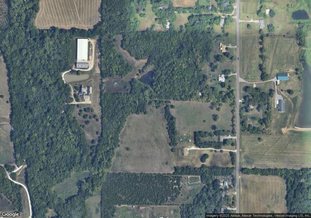
Map
Nearby Homes
- 6041 SW Auburn Rd
- 4200 SW Auburn Rd
- 4300 SW Auburn Rd
- 8149 SW 61st St
- 0000 SW 53rd St
- 4200-4300 SW Auburn Rd
- 8618 SW 51st St
- 6413 SW Bayshore Dr
- 0000 SW Gage Blvd
- 0005 SW 45th St
- 0003 SW Hoch Rd
- 0001 SW Hoch Rd
- 0002 SW Hoch Rd
- 0004 SW Hoch Rd
- Tract 2 SW 79th St
- Tract 3 SW 79th St
- 0000 SW Moundview Dr
- 3914 SW Barons Ln
- 0000 SW Lincolnshire Cir
- 8200 SW 37th St
- 5849 SW Auburn Rd
- 5929 SW Auburn Rd
- 00000 SW Auburn Rd
- 5939 SW Auburn Rd
- 5820 SW Auburn Rd
- 5741 SW Auburn Rd
- 5947 SW Auburn Rd
- 6023 SW Auburn Rd
- 6005 SW Shady Ridge Rd
- 6015 SW Shady Ridge Rd
- 6000 SW Shady Ridge Rd
- 6031 SW Auburn Rd
- 5735 SW Auburn Rd
- 8730 SW 61st St
- 6014 SW Shady Ridge Rd
- 5806 SW Auburn Rd
- 6051 SW Auburn Rd
- 6025 SW Shady Ridge Rd
- 5645 SW Auburn Rd
- 6020 SW Shady Ridge Rd