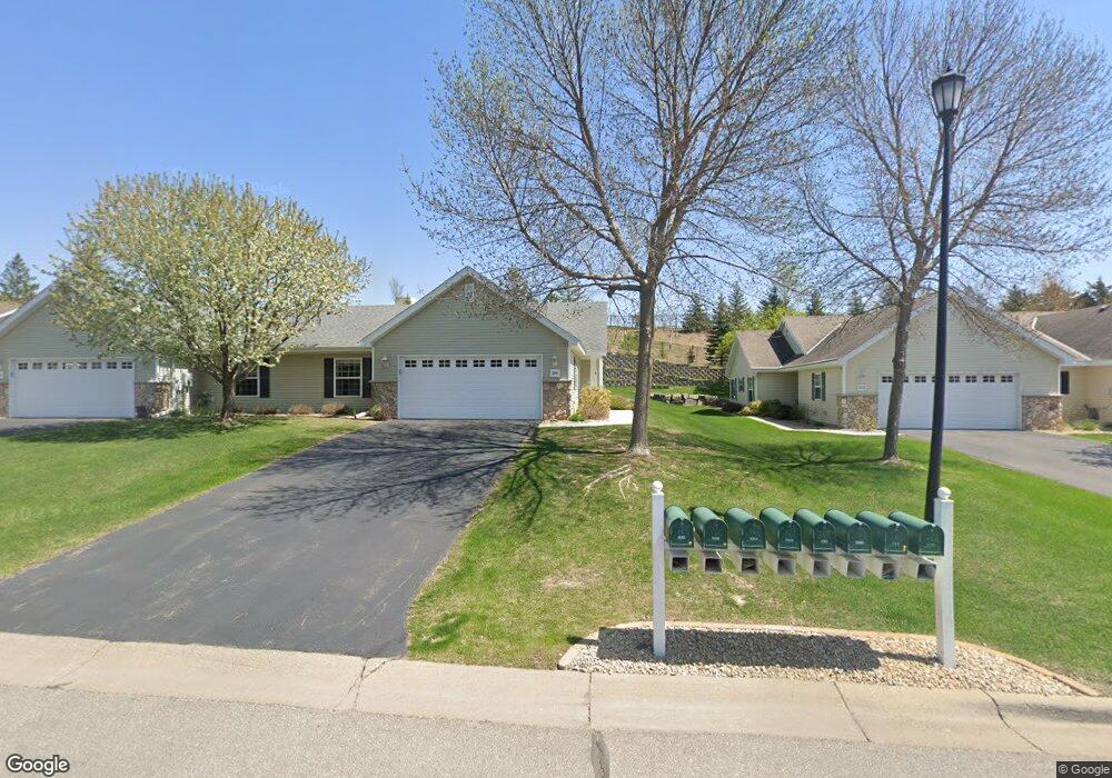
586 Bonita Cir Delano, MN 55328
Estimated Value: $293,000 - $337,000
2
Beds
2
Baths
1,496
Sq Ft
$210/Sq Ft
Est. Value
About This Home
This home is located at 586 Bonita Cir, Delano, MN 55328 and is currently estimated at $313,607, approximately $209 per square foot. 586 Bonita Cir is a home located in Wright County with nearby schools including Delano Elementary School, Delano Middle School, and Delano Senior High School.
Ownership History
Date
Name
Owned For
Owner Type
Purchase Details
Closed on
Aug 4, 2020
Sold by
Schuette Douglas S and Elton E Schuette Revocable Tru
Bought by
Sarine Karen S
Current Estimated Value
Purchase Details
Closed on
Sep 2, 2011
Sold by
Kehoe Terrence K and Kehoe Lois W
Bought by
Schuette Elton E and Schuette Gloria
Purchase Details
Closed on
Dec 3, 2004
Sold by
Kingman Building Co
Bought by
Kehoe Terry K and Kehoe Lois W
Create a Home Valuation Report for This Property
The Home Valuation Report is an in-depth analysis detailing your home's value as well as a comparison with similar homes in the area
Home Values in the Area
Average Home Value in this Area
Purchase History
| Date | Buyer | Sale Price | Title Company |
|---|---|---|---|
| Sarine Karen S | $125,000 | None Available | |
| Sarine Karen S | $125,000 | None Available | |
| Schuette Elton E | $202,000 | -- | |
| Kehoe Terry K | $251,078 | -- |
Source: Public Records
Tax History
| Year | Tax Paid | Tax Assessment Tax Assessment Total Assessment is a certain percentage of the fair market value that is determined by local assessors to be the total taxable value of land and additions on the property. | Land | Improvement |
|---|---|---|---|---|
| 2025 | $3,314 | $293,000 | $40,000 | $253,000 |
| 2024 | $3,242 | $273,800 | $41,000 | $232,800 |
| 2023 | $3,384 | $279,600 | $41,000 | $238,600 |
| 2022 | $3,576 | $267,100 | $41,000 | $226,100 |
| 2021 | $3,504 | $246,600 | $41,000 | $205,600 |
| 2020 | $3,512 | $252,100 | $36,000 | $216,100 |
| 2019 | $3,456 | $242,600 | $0 | $0 |
| 2018 | $3,410 | $216,200 | $0 | $0 |
| 2017 | $3,176 | $211,600 | $0 | $0 |
| 2016 | $3,044 | $0 | $0 | $0 |
| 2015 | $2,394 | $0 | $0 | $0 |
| 2014 | -- | $0 | $0 | $0 |
Source: Public Records
Map
Nearby Homes
- 575 Bonita Cir
- 316 2nd St N
- 737 Elm Ave E
- 158 Kings Pointe Dr
- 113 3rd St S
- 942 Crossing Way
- 428 Saint Peter Ave E
- 955 Crossings Way
- 1253 Willowbrook Cir
- 1257 Willowbrook Cir
- 309 4th St S
- 628 Goldenrod Ct
- 321 Buffalo St
- 914 Buffalo St
- 920 Buffalo St NW
- 200 Franklin Ave W
- 9560 Us Highway 12
- xxxx Lincoln St
- 1333 Vixen Ln
- 1107 Otto Dr NW
Your Personal Tour Guide
Ask me questions while you tour the home.