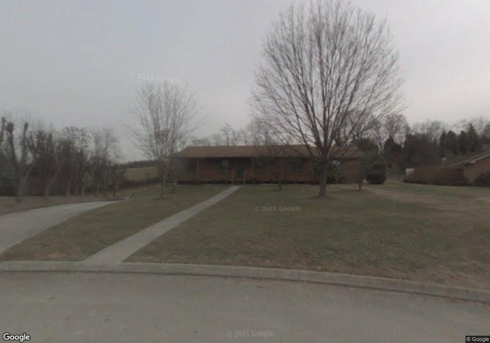
586 Jones Franklin Rd Morristown, TN 37813
Estimated Value: $387,876 - $613,000
--
Bed
--
Bath
2,305
Sq Ft
$201/Sq Ft
Est. Value
About This Home
This home is located at 586 Jones Franklin Rd, Morristown, TN 37813 and is currently estimated at $462,959, approximately $200 per square foot. 586 Jones Franklin Rd is a home located in Hamblen County with nearby schools including Russellville Elementary School, East Ridge Middle School, and Morristown East High School.
Ownership History
Date
Name
Owned For
Owner Type
Purchase Details
Closed on
Sep 3, 2008
Sold by
Decker Calvin B
Bought by
Ellison Michael
Current Estimated Value
Purchase Details
Closed on
Jan 14, 2004
Bought by
Decker Calvin B and Decker Teresa J
Purchase Details
Closed on
Sep 19, 2002
Sold by
Ray Potter
Bought by
Decker Calvin B
Purchase Details
Closed on
May 24, 1994
Bought by
Douthat Rex and Douthat Ruth
Purchase Details
Closed on
Feb 2, 1990
Bought by
Franklin Monzella B
Purchase Details
Closed on
Aug 24, 1946
Bought by
Franklin Coy Powell
Create a Home Valuation Report for This Property
The Home Valuation Report is an in-depth analysis detailing your home's value as well as a comparison with similar homes in the area
Home Values in the Area
Average Home Value in this Area
Purchase History
| Date | Buyer | Sale Price | Title Company |
|---|---|---|---|
| Ellison Michael | $39,000 | -- | |
| Decker Calvin B | -- | -- | |
| Decker Calvin B | $26,000 | -- | |
| Douthat Rex | $12,700 | -- | |
| Franklin Monzella B | -- | -- | |
| Franklin Coy Powell | -- | -- |
Source: Public Records
Tax History Compared to Growth
Tax History
| Year | Tax Paid | Tax Assessment Tax Assessment Total Assessment is a certain percentage of the fair market value that is determined by local assessors to be the total taxable value of land and additions on the property. | Land | Improvement |
|---|---|---|---|---|
| 2024 | $1,135 | $64,500 | $8,150 | $56,350 |
| 2023 | $1,135 | $64,500 | $0 | $0 |
| 2022 | $2,038 | $64,500 | $8,150 | $56,350 |
| 2021 | $2,038 | $64,500 | $8,150 | $56,350 |
| 2020 | $2,035 | $64,500 | $8,150 | $56,350 |
| 2019 | $1,496 | $43,975 | $8,650 | $35,325 |
| 2018 | $1,386 | $43,975 | $8,650 | $35,325 |
| 2017 | $1,364 | $43,975 | $8,650 | $35,325 |
| 2016 | $1,302 | $43,975 | $8,650 | $35,325 |
| 2015 | $1,211 | $43,975 | $8,650 | $35,325 |
| 2014 | -- | $43,975 | $8,650 | $35,325 |
| 2013 | -- | $48,325 | $0 | $0 |
Source: Public Records
Map
Nearby Homes
- 670 Jones Franklin Rd
- 4458 Brockland Dr
- 4705 E Hampton Blvd
- 4581 Lockley Ct
- 288 Fuller Estate Cir
- 4270 Brockland Dr
- 358 Dover Rd
- 4907 Barton Springs Dr
- 4510 Westover Place
- 1148 George Byrd Rd
- 00 Shinbone E Sugar Hollow Rd
- 1342 Slop Creek Rd
- 354 Volunteer Dr
- 5085 Old Kentucky Rd
- 3661 Halifax Cir
- 1689 Carroll Rd
- 4027 White Wood Cir
- 4532 Yorkshire Ln
- 4544 Yorkshire Ln
- 4556 Yorkshire Ln
- 664 Jones Franklin Rd
- 4526 Whitecliff St
- 4507 Brockland Dr
- 4566 Yorkshire Ln
- 4520 Yorkshire Ln
- 4503 Brockland Dr
- 4547 Yorkshire Ln
- 4509 Brockland Dr
- 4499 Brockland Dr
- 4576 Yorkshire Ln
- 4495 Brockland Dr
- 4515 Brockland Dr
- 4515 Yorkshire Ln
- 4575 Yorkshire Ln
- 4516 Whitecliff St
- 1040 Granby Dr
- 4487 Brockland Dr