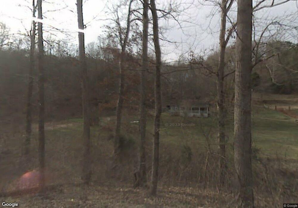
586 Low Gap Rd La Follette, TN 37766
Estimated Value: $154,442 - $472,000
--
Bed
1
Bath
960
Sq Ft
$279/Sq Ft
Est. Value
About This Home
This home is located at 586 Low Gap Rd, La Follette, TN 37766 and is currently estimated at $267,861, approximately $279 per square foot. 586 Low Gap Rd is a home located in Campbell County.
Ownership History
Date
Name
Owned For
Owner Type
Purchase Details
Closed on
Aug 16, 2024
Sold by
Schneider Debra Lawson
Bought by
Tackett Robert and Tackett Chesni
Current Estimated Value
Purchase Details
Closed on
Jun 10, 2024
Sold by
Lawson Byron and Lawson Victoria
Bought by
Schneider Debra Lawson
Purchase Details
Closed on
Jul 26, 2016
Sold by
Lawson Byron Victoria
Bought by
Lawson Don and Lawson Laveria Lawson
Purchase Details
Closed on
Jan 14, 2014
Sold by
Lawson Don
Bought by
Lawson Byron and Lawson Victoria
Purchase Details
Closed on
Dec 2, 2011
Sold by
Lawson Don
Bought by
Lawson Robert W and Lawson Cynthia D
Purchase Details
Closed on
Oct 4, 1976
Bought by
Lawson Don and Lawson Laveria
Purchase Details
Closed on
Jan 19, 1938
Bought by
Lawson James
Create a Home Valuation Report for This Property
The Home Valuation Report is an in-depth analysis detailing your home's value as well as a comparison with similar homes in the area
Home Values in the Area
Average Home Value in this Area
Purchase History
| Date | Buyer | Sale Price | Title Company |
|---|---|---|---|
| Tackett Robert | -- | None Listed On Document | |
| Tackett Robert | -- | None Listed On Document | |
| Schneider Debra Lawson | -- | None Listed On Document | |
| Schneider Debra Lawson | -- | None Listed On Document | |
| Lawson Don | -- | -- | |
| Lawson Byron | -- | -- | |
| Lawson Robert W | -- | -- | |
| Lawson Don | -- | -- | |
| Lawson James | -- | -- |
Source: Public Records
Tax History Compared to Growth
Tax History
| Year | Tax Paid | Tax Assessment Tax Assessment Total Assessment is a certain percentage of the fair market value that is determined by local assessors to be the total taxable value of land and additions on the property. | Land | Improvement |
|---|---|---|---|---|
| 2025 | $428 | $21,550 | $0 | $0 |
| 2024 | $428 | $35,225 | $16,550 | $18,675 |
| 2023 | $375 | $18,150 | $9,950 | $8,200 |
| 2022 | $375 | $18,150 | $9,950 | $8,200 |
| 2021 | $375 | $18,150 | $9,950 | $8,200 |
| 2020 | $368 | $18,150 | $9,950 | $8,200 |
| 2019 | $375 | $18,150 | $9,950 | $8,200 |
| 2018 | $393 | $17,475 | $10,350 | $7,125 |
| 2017 | $393 | $17,475 | $10,350 | $7,125 |
| 2016 | $393 | $17,475 | $10,350 | $7,125 |
| 2015 | $348 | $17,475 | $10,350 | $7,125 |
| 2014 | -- | $17,475 | $10,350 | $7,125 |
| 2013 | -- | $17,475 | $10,350 | $7,125 |
Source: Public Records
Map
Nearby Homes
- 519 Whitman Hollow Rd
- 0 Whitman Hollow Rd Unit 1271817
- 0 Low Gap Rd Unit 18767562
- 0 Low Gap Rd Unit 11277254
- 1971 Demory Rd
- 00 Chestnut Stump Rd
- 268 Cross View Ln
- 0 Cross View Ln Unit 1312951
- 0 Grantsboro Rd
- 0 Clearwater View Ln Unit 1317048
- 0 Country Oaks Ln
- 1031 Big Creek Rd
- 0 W High Knob Rd
- 4160 Demory Rd
- 0 Rainbow Cir
- 165 Parkview Dr
- 2473 Long Hollow Rd
- 0 Rainbow View Rd
- Lots 8 & 9 Rainbow Ln
- 689 Country Oaks Ln
- 519 Low Gap Rd
- 669 Low Gap Rd
- 523 Low Gap Rd
- 523 Low Gap Rd
- 222 Ginnie Ln
- 743 Whitman Hollow Rd
- 294 Housley Ln
- 202 Ginnie Ln
- 281 Housley Ln
- 258 Hatmaker Ln
- 542 Whitman Hollow Rd
- 453 Whitman Hollow Rd
- 453 Whitman Hollow Rd
- 250 Low Gap Rd
- 222 Hatmaker Ln
- 158 Hatmaker Ln
- 158 Hatmaker Ln
- 744 Whitman Hollow Rd
- 222 Whitman Hollow Rd
- 194 Raymond Rd