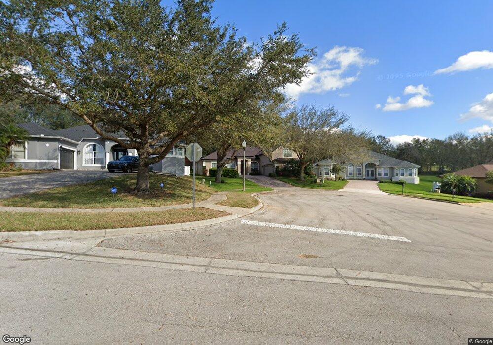
586 Parkside Pointe Blvd Apopka, FL 32712
Estimated Value: $514,381 - $627,000
4
Beds
4
Baths
3,040
Sq Ft
$184/Sq Ft
Est. Value
About This Home
This home is located at 586 Parkside Pointe Blvd, Apopka, FL 32712 and is currently estimated at $557,845, approximately $183 per square foot. 586 Parkside Pointe Blvd is a home located in Orange County with nearby schools including Apopka Elementary School, Wolf Lake Middle School, and Apopka High School.
Ownership History
Date
Name
Owned For
Owner Type
Purchase Details
Closed on
Mar 29, 2007
Sold by
Tousa Homes Inc
Bought by
Elliott Laura M and Blood Michael C
Current Estimated Value
Home Financials for this Owner
Home Financials are based on the most recent Mortgage that was taken out on this home.
Original Mortgage
$334,103
Outstanding Balance
$203,337
Interest Rate
6.27%
Mortgage Type
Purchase Money Mortgage
Estimated Equity
$354,508
Create a Home Valuation Report for This Property
The Home Valuation Report is an in-depth analysis detailing your home's value as well as a comparison with similar homes in the area
Home Values in the Area
Average Home Value in this Area
Purchase History
| Date | Buyer | Sale Price | Title Company |
|---|---|---|---|
| Elliott Laura M | $417,700 | Universal Land Title Inc |
Source: Public Records
Mortgage History
| Date | Status | Borrower | Loan Amount |
|---|---|---|---|
| Open | Elliott Laura M | $334,103 |
Source: Public Records
Tax History Compared to Growth
Tax History
| Year | Tax Paid | Tax Assessment Tax Assessment Total Assessment is a certain percentage of the fair market value that is determined by local assessors to be the total taxable value of land and additions on the property. | Land | Improvement |
|---|---|---|---|---|
| 2025 | $3,170 | $239,130 | -- | -- |
| 2024 | $2,960 | $239,130 | -- | -- |
| 2023 | $2,960 | $225,622 | $0 | $0 |
| 2022 | $2,833 | $219,050 | $0 | $0 |
| 2021 | $2,789 | $212,670 | $0 | $0 |
| 2020 | $2,670 | $209,734 | $0 | $0 |
| 2019 | $2,714 | $205,019 | $0 | $0 |
| 2018 | $2,687 | $201,196 | $0 | $0 |
| 2017 | $2,615 | $248,785 | $40,000 | $208,785 |
| 2016 | $2,608 | $232,457 | $30,000 | $202,457 |
| 2015 | $2,585 | $226,540 | $30,000 | $196,540 |
| 2014 | $2,604 | $217,600 | $30,000 | $187,600 |
Source: Public Records
Map
Nearby Homes
- 605 Swallow Ct
- 629 Mary Paula Dr
- 555 Swallow Ct
- 701 White Ivey Ct
- 789 White Ivey Ct
- 753 Ashworth Overlook Dr Unit B
- 505 Climbing Ivy Ct Unit C
- 725 Ashworth Overlook Dr Unit C
- 1017 Parkside Pointe Blvd
- Lapis Plan at Summit Ridge - Seasons
- 680 Summit River Dr
- Tourmaline Plan at Summit Ridge - Seasons
- 535 Summit River Dr
- 500 Summit River Dr
- 630 Summit River Dr
- 866 Ashworth Overlook Dr Unit B
- 462 Shirley Dr
- 430 Ashley Brooke Ct Unit .B
- 589 Vicks Landing Dr
- 555 Summit River Dr
- 580 Parkside Pointe Blvd
- 592 Parkside Pointe Blvd
- 574 Parkside Pointe Blvd
- 598 Parkside Pointe Blvd
- 568 Parkside Pointe Blvd
- 604 Hiawatha Overlook Dr
- 567 Parkside Pointe Blvd
- 562 Parkside Pointe Blvd
- 615 Hiawatha Overlook Dr
- 597 Martin Place Blvd
- 556 Parkside Pointe Blvd
- 595 Martin Place Blvd
- 598 Martin Place Blvd
- 625 Conure St
- 561 Parkside Pointe Blvd
- 625 Hiawatha Overlook Dr
- 593 Martin Place Blvd
- 596 Martin Place Blvd
- 619 Conure St
- 594 Martin Place Blvd