586 Wildcat Canyon Rd Sutherlin, OR 97479
Estimated Value: $356,728 - $404,000
3
Beds
2
Baths
1,475
Sq Ft
$259/Sq Ft
Est. Value
About This Home
This home is located at 586 Wildcat Canyon Rd, Sutherlin, OR 97479 and is currently estimated at $382,182, approximately $259 per square foot. 586 Wildcat Canyon Rd is a home located in Douglas County with nearby schools including East Sutherlin Primary School, West Sutherlin Intermediate School, and Sutherlin Middle School.
Ownership History
Date
Name
Owned For
Owner Type
Purchase Details
Closed on
Sep 20, 2019
Sold by
Premier Home Co Inc
Bought by
Lindner Walter C and Lindner Carol M
Current Estimated Value
Home Financials for this Owner
Home Financials are based on the most recent Mortgage that was taken out on this home.
Original Mortgage
$254,103
Outstanding Balance
$222,574
Interest Rate
3.6%
Mortgage Type
VA
Estimated Equity
$159,608
Purchase Details
Closed on
Jan 29, 2018
Sold by
Vase Llc
Bought by
Short Lance C
Create a Home Valuation Report for This Property
The Home Valuation Report is an in-depth analysis detailing your home's value as well as a comparison with similar homes in the area
Home Values in the Area
Average Home Value in this Area
Purchase History
| Date | Buyer | Sale Price | Title Company |
|---|---|---|---|
| Lindner Walter C | $249,000 | First American | |
| Short Lance C | $228,750 | Amerititle |
Source: Public Records
Mortgage History
| Date | Status | Borrower | Loan Amount |
|---|---|---|---|
| Open | Lindner Walter C | $254,103 |
Source: Public Records
Tax History Compared to Growth
Tax History
| Year | Tax Paid | Tax Assessment Tax Assessment Total Assessment is a certain percentage of the fair market value that is determined by local assessors to be the total taxable value of land and additions on the property. | Land | Improvement |
|---|---|---|---|---|
| 2024 | $3,035 | $253,721 | -- | -- |
| 2023 | $2,948 | $246,332 | $0 | $0 |
| 2022 | $2,863 | $239,158 | $0 | $0 |
| 2021 | $2,781 | $232,193 | $0 | $0 |
| 2020 | $2,700 | $225,431 | $0 | $0 |
| 2019 | $581 | $48,469 | $0 | $0 |
| 2018 | $448 | $37,600 | $0 | $0 |
| 2017 | $387 | $30,800 | $0 | $0 |
| 2016 | $387 | $30,800 | $0 | $0 |
| 2015 | $503 | $40,000 | $0 | $0 |
| 2014 | $503 | $40,000 | $0 | $0 |
| 2013 | -- | $48,469 | $0 | $0 |
Source: Public Records
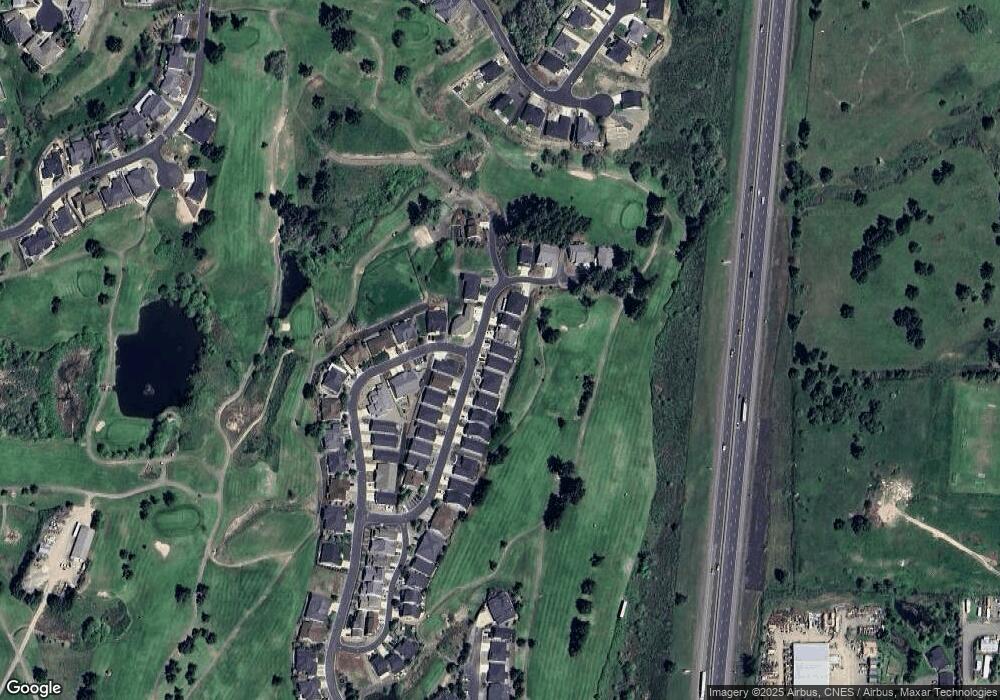
Map
Nearby Homes
- 1660 Scardi Blvd
- 1716 Scardi Blvd Unit 174
- 420 Backwater Loop
- 702 Divot Loop
- 0 Dakota St Unit B 500248401
- 832 Sand Pines Ave
- 1688 W Central Ave
- 881 Medina Ave
- 181 SW Hutchins St
- 890 Durham Ave
- 165 Robinson St
- 279 Grant St
- 910 Swallow Ave
- 135 Elkton St
- 126 Coles Valley St
- 154 Coles Valley St
- 149 Coles Valley St
- 1223 Duke Ave
- 819 S Comstock Ave Unit 13
- 178 Dovetail Ln
- 592 Wildcat Canyon Rd Unit 58
- 592 Wildcat Canyon Rd
- 580 Wildcat Canyon Rd
- 576 Wildcat Canyon Rd
- 602 Wildcat Canyon Rd Unit 59
- 602 Wildcat Canyon Rd
- 570 Wildcat Canyon Rd
- 591 Wildcat Canyon Rd
- 604 Wildcat Canyon Rd Unit 60
- 604 Wildcat Canyon Rd
- 577 Wildcat Canyon Rd
- 564 Wildcat Canyon Rd
- 569 Wildcat Canyon Rd
- 582 Fairway Estates Dr
- 607 Wildcat Canyon Rd
- 556 Wildcat Canyon Rd
- 583 Fairway Estates Dr
- 542 Wildcat Canyon Rd
- 553 Wildcat Canyon Rd
- 613 Bunker Rd