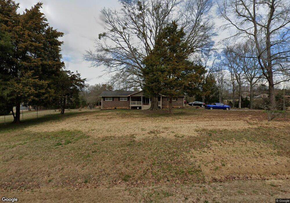
587 E Mays Rd Stockbridge, GA 30281
Estimated Value: $256,383 - $415,000
2
Beds
3
Baths
1,415
Sq Ft
$221/Sq Ft
Est. Value
About This Home
This home is located at 587 E Mays Rd, Stockbridge, GA 30281 and is currently estimated at $312,096, approximately $220 per square foot. 587 E Mays Rd is a home located in Henry County with nearby schools including Austin Road Elementary School, Austin Road Middle School, and Woodland High School.
Ownership History
Date
Name
Owned For
Owner Type
Purchase Details
Closed on
Jul 24, 2017
Sold by
Crim Dorothy Ann
Bought by
Crim Anthony J
Current Estimated Value
Purchase Details
Closed on
Jun 6, 2011
Sold by
Crim Claude J
Bought by
Crim Dorothy A
Purchase Details
Closed on
Jul 28, 2010
Sold by
Crim Dorothy A
Bought by
Crim Dorothy A
Home Financials for this Owner
Home Financials are based on the most recent Mortgage that was taken out on this home.
Original Mortgage
$20,000
Interest Rate
4.7%
Mortgage Type
New Conventional
Create a Home Valuation Report for This Property
The Home Valuation Report is an in-depth analysis detailing your home's value as well as a comparison with similar homes in the area
Home Values in the Area
Average Home Value in this Area
Purchase History
| Date | Buyer | Sale Price | Title Company |
|---|---|---|---|
| Crim Anthony J | -- | -- | |
| Crim Robert Shane | -- | -- | |
| Crim Dorothy A | -- | -- | |
| Crim Dorothy A | -- | -- |
Source: Public Records
Mortgage History
| Date | Status | Borrower | Loan Amount |
|---|---|---|---|
| Previous Owner | Crim Dorothy A | $20,000 |
Source: Public Records
Tax History
| Year | Tax Paid | Tax Assessment Tax Assessment Total Assessment is a certain percentage of the fair market value that is determined by local assessors to be the total taxable value of land and additions on the property. | Land | Improvement |
|---|---|---|---|---|
| 2025 | $4,790 | $120,160 | $16,280 | $103,880 |
| 2024 | $4,790 | $113,000 | $14,840 | $98,160 |
| 2023 | $4,049 | $104,520 | $14,280 | $90,240 |
| 2022 | $3,535 | $91,120 | $13,200 | $77,920 |
| 2021 | $2,760 | $70,920 | $11,320 | $59,600 |
| 2020 | $2,427 | $62,240 | $10,640 | $51,600 |
| 2019 | $2,237 | $57,280 | $10,120 | $47,160 |
| 2018 | $1,927 | $49,200 | $9,320 | $39,880 |
| 2016 | $1,695 | $128,600 | $15,600 | $113,000 |
| 2015 | $1,621 | $114,600 | $12,000 | $102,600 |
| 2014 | $1,608 | $111,240 | $14,360 | $96,880 |
Source: Public Records
Map
Nearby Homes
- 0 E Mays Rd Unit 10496305
- 120 Bowen Rd
- 108 Bowen Rd
- 88 Bowen Rd
- 80 Bowen Rd
- 36 Snapfinger Trail
- 2100 Highway 138 E
- 231 Sorrow Rd
- 404 Marilyn Ct
- 0 Georgia 155 S Unit TRACT 3 10311477
- 222 Hemlock Dr
- 301 Vicki Ln
- 229 Timber Ln
- 106 Valley Rd
- 200 Edmonson Ct
- 208 Edmonson Ct
- 204 Edmonson Ct
- 212 Edmonson Ct
- 213 Edmonson Ct
- 209 Edmonson Ct
Your Personal Tour Guide
Ask me questions while you tour the home.