Estimated Value: $152,363 - $326,000
Studio
--
Bath
1,632
Sq Ft
$150/Sq Ft
Est. Value
About This Home
This home is located at 587 Owsley Fork Rd, Berea, KY 40403 and is currently estimated at $245,121, approximately $150 per square foot. 587 Owsley Fork Rd is a home with nearby schools including Jackson County High School.
Ownership History
Date
Name
Owned For
Owner Type
Purchase Details
Closed on
Feb 7, 2019
Sold by
Burnells Homestead Estates Llc
Bought by
Combs Daniel and Combs Tabitha
Current Estimated Value
Purchase Details
Closed on
Aug 25, 2006
Sold by
Combs Dan and Combs Tabitha R
Bought by
Combs Dan and Combs Tabitha R
Home Financials for this Owner
Home Financials are based on the most recent Mortgage that was taken out on this home.
Original Mortgage
$84,500
Interest Rate
6.67%
Mortgage Type
Future Advance Clause Open End Mortgage
Create a Home Valuation Report for This Property
The Home Valuation Report is an in-depth analysis detailing your home's value as well as a comparison with similar homes in the area
Purchase History
| Date | Buyer | Sale Price | Title Company |
|---|---|---|---|
| Combs Daniel | $18,000 | None Available | |
| Combs Dan | -- | None Available |
Source: Public Records
Mortgage History
| Date | Status | Borrower | Loan Amount |
|---|---|---|---|
| Previous Owner | Combs Dan | $84,500 |
Source: Public Records
Tax History
| Year | Tax Paid | Tax Assessment Tax Assessment Total Assessment is a certain percentage of the fair market value that is determined by local assessors to be the total taxable value of land and additions on the property. | Land | Improvement |
|---|---|---|---|---|
| 2025 | $168 | $63,500 | $0 | $0 |
| 2024 | $196 | $63,500 | $0 | $0 |
| 2023 | $198 | $63,500 | $0 | $0 |
| 2022 | $650 | $63,500 | $0 | $0 |
| 2021 | $661 | $63,500 | $0 | $0 |
| 2020 | $674 | $63,500 | $0 | $0 |
| 2019 | $677 | $63,500 | $0 | $0 |
| 2018 | $677 | $63,500 | $0 | $0 |
| 2017 | $670 | $63,500 | $0 | $0 |
| 2016 | $665 | $63,500 | $0 | $0 |
| 2015 | $649 | $63,500 | $0 | $0 |
| 2014 | $639 | $63,500 | $0 | $0 |
| 2012 | $639 | $63,500 | $3,500 | $60,000 |
Source: Public Records
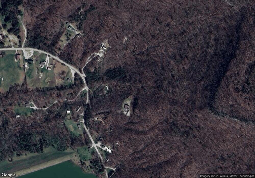
Map
Nearby Homes
- 10807 Battlefield Memorial Hwy
- 210 Big Hill Mountain Rd
- 14674 Us-421 N Hwy
- 750 Red Lick Rd
- 0 Morrill-Kerby Knob Rd
- 293 Liza Allen Rd
- 11493 Climax Rd
- 1433 Gravel Lick Branch Rd
- 319 Log Cabin Rd
- 360 Forest Trail Dr
- 999 Long Branch Rd
- 505 Robinson Rd
- 2351 Dreyfus Rd
- 416 Bethlehem Rd
- 9999 Dreyfus Rd
- 502 Lily Rose Ln
- 9999 Highway 2004
- 0000 Highway 1955
- Tract 2-B Bethlehem Rd
- 1028 Burnell Dr
- 615 Owsley Fork Rd
- 625 Owsley Fork Rd
- 0 Owsley Fork Rd Unit 568005
- 0 Owsley Fork Rd Unit 567917
- 0 Owsley Fork Rd Unit 567330
- 0 Owsley Fork Rd Unit 568004
- 0 Owsley Fork Rd Unit 557841
- 0 Owsley Fork Rd Unit 567916
- 1 Owsley Fork Rd
- 4 Owsley Fork Rd
- 2 Owsley Fork Rd
- 3 Owsley Fork Rd
- 59900 Owsley Fork Rd
- 0 Owsley Fork Rd
- 612 Owsley Fork Rd
- 600 Owsley Fork Rd
- 561 Owsley Fork Rd
- 651 Owsley Fork Rd
- 586 Owsley Fork Rd
- 552 Owsley Fork Rd
Your Personal Tour Guide
Ask me questions while you tour the home.