587 SW 67th St Redmond, OR 97756
Estimated Value: $1,141,000 - $1,463,918
4
Beds
4
Baths
3,071
Sq Ft
$424/Sq Ft
Est. Value
About This Home
This home is located at 587 SW 67th St, Redmond, OR 97756 and is currently estimated at $1,302,459, approximately $424 per square foot. 587 SW 67th St is a home located in Deschutes County with nearby schools including Sage Elementary School, Obsidian Middle School, and Ridgeview High School.
Ownership History
Date
Name
Owned For
Owner Type
Purchase Details
Closed on
Dec 1, 2011
Sold by
Smith Patricia L
Bought by
Smith Patricia L and Harold & Patricia Smith Trust Trust A
Current Estimated Value
Home Financials for this Owner
Home Financials are based on the most recent Mortgage that was taken out on this home.
Original Mortgage
$174,000
Interest Rate
4.06%
Mortgage Type
New Conventional
Purchase Details
Closed on
Apr 4, 2007
Sold by
Smith Patricia L
Bought by
Smith Patricia L and Harold & Patricia Smith Trust A
Create a Home Valuation Report for This Property
The Home Valuation Report is an in-depth analysis detailing your home's value as well as a comparison with similar homes in the area
Home Values in the Area
Average Home Value in this Area
Purchase History
| Date | Buyer | Sale Price | Title Company |
|---|---|---|---|
| Smith Patricia L | -- | Western Title & Escrow | |
| Smith Patricia L | -- | Western Title & Escrow | |
| Smith Patricia L | -- | None Available |
Source: Public Records
Mortgage History
| Date | Status | Borrower | Loan Amount |
|---|---|---|---|
| Closed | Smith Patricia L | $174,000 |
Source: Public Records
Tax History Compared to Growth
Tax History
| Year | Tax Paid | Tax Assessment Tax Assessment Total Assessment is a certain percentage of the fair market value that is determined by local assessors to be the total taxable value of land and additions on the property. | Land | Improvement |
|---|---|---|---|---|
| 2025 | $11,328 | $696,160 | -- | -- |
| 2024 | $10,828 | $675,890 | -- | -- |
| 2023 | $10,322 | $656,210 | $0 | $0 |
| 2022 | $9,190 | $618,550 | $0 | $0 |
| 2021 | $9,549 | $600,540 | $0 | $0 |
| 2020 | $9,087 | $600,540 | $0 | $0 |
| 2019 | $8,663 | $583,050 | $0 | $0 |
| 2018 | $8,455 | $566,070 | $0 | $0 |
| 2017 | $8,266 | $549,590 | $0 | $0 |
| 2016 | $8,169 | $533,590 | $0 | $0 |
| 2015 | $7,915 | $518,050 | $0 | $0 |
| 2014 | $7,708 | $502,970 | $0 | $0 |
Source: Public Records
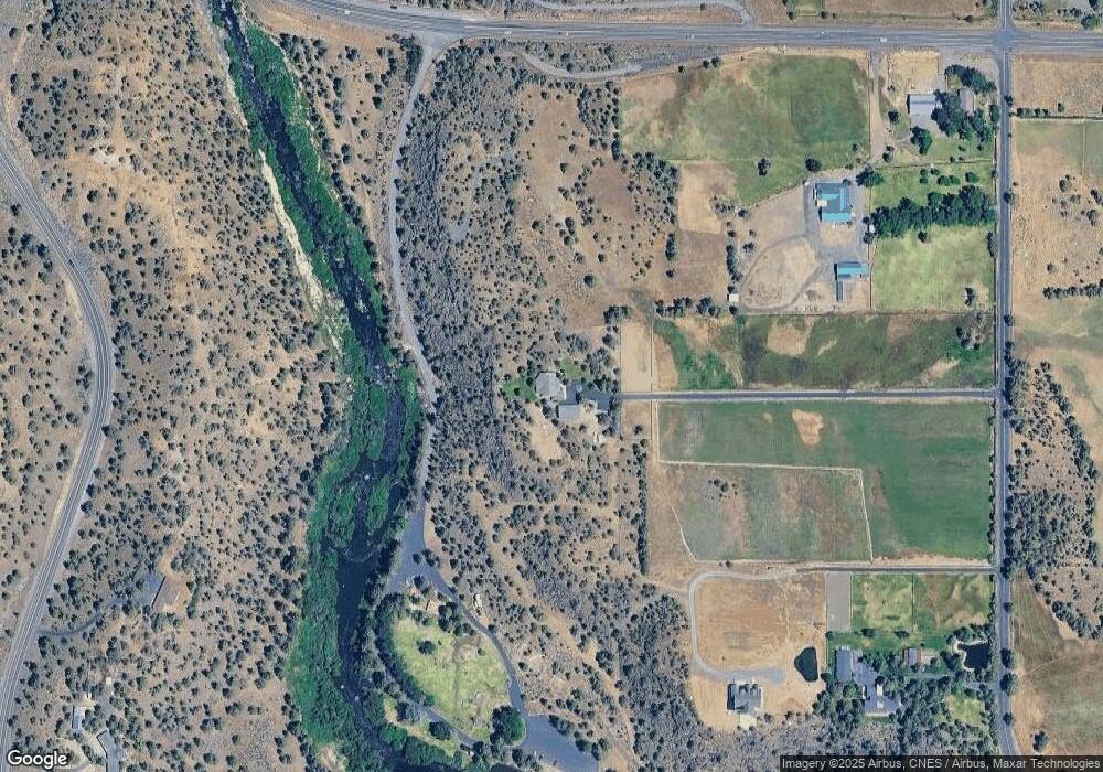
Map
Nearby Homes
- 6822 Thunderbird Ct
- 510 SW 67th St
- 825 Victoria Falls Dr
- 1036 Niagara Falls Dr
- 454 Tanager Dr
- 6268 W Highway 126
- 810 SW Willet Ln
- 8141 Granite Falls Dr
- 830 Willet Ln
- 387 Goshawk Ct
- 722 Golden Pheasant Dr
- 909 Willet Ln
- 1140 Golden Pheasant Dr
- 1044 Golden Pheasant Dr
- 1084 Golden Pheasant Dr
- 1442 Eagle Springs Ct
- 964 Golden Pheasant Dr
- 855 Golden Pheasant Dr
- 987 Golden Pheasant Dr
- 5755 SW Obsidian Ave
- 805 SW 67th St
- 6754 W Highway 126
- 820 SW Cline Falls Rd
- 811 SW 67th St
- 6724 W Highway 126
- 6724 Oregon 126
- 235 SW 67th St
- 910 SW Cline Falls Rd
- 447 SW 67th St
- 6825 Thunderbird Ct
- 6811 Thunderbird Ct
- 7265 Falcon Crest Dr Unit par 3
- 6910 Thunderbird Ct
- 742 Crystal Falls Ct
- 732 Crystal Falls Ct
- 7000 Thunderbird Ct
- 6860 Thunderbird Ct
- 752 Crystal Falls Ct
- 7098 Thunderbird Ct
- 690 Victoria Falls Dr