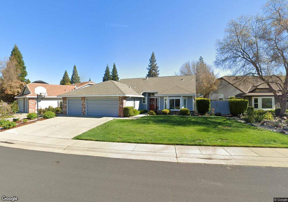
5870 Devon Dr Rocklin, CA 95765
Stanford Ranch NeighborhoodEstimated Value: $628,000 - $640,879
3
Beds
2
Baths
1,805
Sq Ft
$351/Sq Ft
Est. Value
About This Home
This home is located at 5870 Devon Dr, Rocklin, CA 95765 and is currently estimated at $634,220, approximately $351 per square foot. 5870 Devon Dr is a home located in Placer County with nearby schools including Twin Oaks Elementary, Granite Oaks Middle, and Rocklin High.
Ownership History
Date
Name
Owned For
Owner Type
Purchase Details
Closed on
Jul 6, 2013
Sold by
Wampler William Michael and Wampler Linda
Bought by
Wampler William and Wampler Linda
Current Estimated Value
Purchase Details
Closed on
May 28, 1997
Sold by
Goucher Richard L and Goucher Laurie I I
Bought by
Wampler William Michael
Home Financials for this Owner
Home Financials are based on the most recent Mortgage that was taken out on this home.
Original Mortgage
$165,500
Outstanding Balance
$23,990
Interest Rate
8.13%
Mortgage Type
Purchase Money Mortgage
Estimated Equity
$610,230
Create a Home Valuation Report for This Property
The Home Valuation Report is an in-depth analysis detailing your home's value as well as a comparison with similar homes in the area
Home Values in the Area
Average Home Value in this Area
Purchase History
| Date | Buyer | Sale Price | Title Company |
|---|---|---|---|
| Wampler William | -- | None Available | |
| Wampler William Michael | $184,000 | Placer Title Company |
Source: Public Records
Mortgage History
| Date | Status | Borrower | Loan Amount |
|---|---|---|---|
| Open | Wampler William Michael | $165,500 |
Source: Public Records
Tax History
| Year | Tax Paid | Tax Assessment Tax Assessment Total Assessment is a certain percentage of the fair market value that is determined by local assessors to be the total taxable value of land and additions on the property. | Land | Improvement |
|---|---|---|---|---|
| 2025 | $3,349 | $299,646 | $119,855 | $179,791 |
| 2023 | $3,349 | $288,011 | $115,201 | $172,810 |
| 2022 | $3,242 | $282,365 | $112,943 | $169,422 |
| 2021 | $3,207 | $276,829 | $110,729 | $166,100 |
| 2020 | $3,202 | $273,991 | $109,594 | $164,397 |
| 2019 | $3,159 | $268,620 | $107,446 | $161,174 |
| 2018 | $3,080 | $263,354 | $105,340 | $158,014 |
| 2017 | $3,081 | $258,191 | $103,275 | $154,916 |
| 2016 | $2,996 | $253,129 | $101,250 | $151,879 |
| 2015 | $2,960 | $249,328 | $99,730 | $149,598 |
| 2014 | $3,384 | $244,445 | $97,777 | $146,668 |
Source: Public Records
Map
Nearby Homes
- 5838 Devon Dr
- 5820 Devon Dr
- 2318 Heron Ct
- 2712 Ashland Ct
- 5401 Rock Field Ct
- 1402 Skibbereen Way
- 2057 Archer Cir
- 2024 Archer Cir
- 1816 Talon Rd
- 6233 Camellia Cir
- 5329 Wesley Rd
- 2120 Big Sky Dr
- 2119 Big Sky Dr
- 1208 Reading Way Unit 80
- 5316 Heritage Ct
- 6503 Turnstone Way
- 5651 Blackrock Rd
- 1214 Regina St
- 1112 Sedona St
- 1685 Iroquois Rd
Your Personal Tour Guide
Ask me questions while you tour the home.