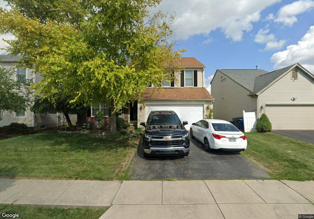
5870 Westbend Dr Galloway, OH 43119
Galloway Ridge NeighborhoodEstimated Value: $360,899 - $378,000
About This Home
This home is located at 5870 Westbend Dr, Galloway, OH 43119 and is currently estimated at $370,225, approximately $189 per square foot. 5870 Westbend Dr is a home located in Franklin County with nearby schools including Galloway Ridge Intermediate School, Darby Woods Elementary School, and Norton Middle School.
Ownership History
We collect this data history from publicly available records. To have your information removed, we recommend requesting removal directly through your county’s website.
Purchase Details
Home Financials for this Owner
Home Financials are based on the most recent Mortgage that was taken out on this home.Home Values in the Area
Average Home Value in this Area
Purchase History
We collect this data history from publicly available records. To have your information removed, we recommend requesting removal directly through your county’s website.
| Date | Buyer | Sale Price | Title Company |
|---|---|---|---|
| $188,700 | Alliance Title |
Mortgage History
We collect this data history from publicly available records. To have your information removed, we recommend requesting removal directly through your county’s website.
| Date | Status | Borrower | Loan Amount |
|---|---|---|---|
| Closed | $187,188 |
Tax History
We collect this data history from publicly available records. To have your information removed, we recommend requesting removal directly through your county’s website.
| Year | Tax Paid | Tax Assessment Tax Assessment Total Assessment is a certain percentage of the fair market value that is determined by local assessors to be the total taxable value of land and additions on the property. | Land | Improvement |
|---|---|---|---|---|
| 2025 | $3,836 | $105,210 | $27,860 | $77,350 |
| 2024 | $3,836 | $105,210 | $27,860 | $77,350 |
| 2023 | $3,768 | $105,210 | $27,860 | $77,350 |
| 2022 | $3,126 | $64,060 | $9,350 | $54,710 |
| 2021 | $3,189 | $64,060 | $9,350 | $54,710 |
| 2020 | $3,171 | $64,060 | $9,350 | $54,710 |
| 2019 | $2,987 | $53,240 | $7,770 | $45,470 |
| 2018 | $3,109 | $53,240 | $7,770 | $45,470 |
| 2017 | $3,102 | $53,240 | $7,770 | $45,470 |
| 2016 | $3,245 | $53,630 | $7,250 | $46,380 |
| 2015 | $3,245 | $53,630 | $7,250 | $46,380 |
| 2014 | $3,248 | $53,630 | $7,250 | $46,380 |
| 2013 | $1,696 | $56,455 | $7,630 | $48,825 |
Map
- 5906 Westbend Dr
- 265 Westedge Ct
- 5789 Westbank Dr
- 5846 Westbank Dr
- 363 Belfair Dr
- 405 Ruffin Dr
- 368 Mogul Dr
- 432 Jonathon Dayton Way Unit 127
- 493 Lilyfield Ln
- 407 Mogul Dr
- 524 Thorngate Ct
- 6110 Federalist Dr Unit 151
- 5922 Ballydugan Dr
- 89 Alton Darby Creek Rd
- 5440 Inglecrest Place
- 5947 Ballydugan Dr
- 5782 Camhurst Ct
- 659 Lindridge Dr
- 5965 Kilbeggan St
- 5861 Stillponds Place
- 5889 Westbend Dr
- 5895 Westbend Dr
- 5888 Weston Woods Dr
- 5894 Weston Woods Dr
- 5901 Westbend Dr
- 5882 Westbend Dr
- 5878 Westbend Dr
- 5874 Westbend Dr
- 5886 Westbend Dr
- 5900 Weston Woods Dr
- 5890 Westbend Dr
- 5894 Westbend Dr
- 5907 Westbend Dr
- 5906 Weston Woods Dr
- 5866 Westbend Dr
- 5913 Westbend Dr
- 242 Westmark Ct
- 5912 Weston Woods Dr
- 5885 Weston Woods Dr
- 5891 Weston Woods Dr
Ask me questions while you tour the home.