588 Elmwood Ave Uxbridge, MA 01569
Estimated Value: $511,000 - $660,000
4
Beds
2
Baths
1,764
Sq Ft
$333/Sq Ft
Est. Value
About This Home
This home is located at 588 Elmwood Ave, Uxbridge, MA 01569 and is currently estimated at $587,717, approximately $333 per square foot. 588 Elmwood Ave is a home located in Worcester County with nearby schools including Uxbridge High School.
Ownership History
Date
Name
Owned For
Owner Type
Purchase Details
Closed on
Dec 3, 1998
Sold by
Wilson Frank
Bought by
Holmes Jeffrey D
Current Estimated Value
Home Financials for this Owner
Home Financials are based on the most recent Mortgage that was taken out on this home.
Original Mortgage
$128,000
Interest Rate
6.68%
Mortgage Type
Purchase Money Mortgage
Create a Home Valuation Report for This Property
The Home Valuation Report is an in-depth analysis detailing your home's value as well as a comparison with similar homes in the area
Home Values in the Area
Average Home Value in this Area
Purchase History
| Date | Buyer | Sale Price | Title Company |
|---|---|---|---|
| Holmes Jeffrey D | $160,000 | -- |
Source: Public Records
Mortgage History
| Date | Status | Borrower | Loan Amount |
|---|---|---|---|
| Open | Holmes Jeffrey D | $114,000 | |
| Closed | Holmes Jeffrey D | $128,000 | |
| Previous Owner | Holmes Jeffrey D | $74,400 |
Source: Public Records
Tax History Compared to Growth
Tax History
| Year | Tax Paid | Tax Assessment Tax Assessment Total Assessment is a certain percentage of the fair market value that is determined by local assessors to be the total taxable value of land and additions on the property. | Land | Improvement |
|---|---|---|---|---|
| 2025 | $55 | $418,200 | $179,500 | $238,700 |
| 2024 | $5,205 | $402,900 | $170,800 | $232,100 |
| 2023 | $4,941 | $354,200 | $147,100 | $207,100 |
| 2022 | $4,530 | $298,800 | $129,700 | $169,100 |
| 2021 | $4,686 | $296,200 | $127,100 | $169,100 |
| 2020 | $4,846 | $289,500 | $125,300 | $164,200 |
| 2019 | $4,837 | $278,800 | $125,300 | $153,500 |
| 2018 | $4,725 | $275,200 | $125,300 | $149,900 |
| 2017 | $4,033 | $237,800 | $115,500 | $122,300 |
| 2016 | $4,173 | $237,500 | $110,200 | $127,300 |
| 2015 | $4,091 | $235,100 | $110,200 | $124,900 |
Source: Public Records
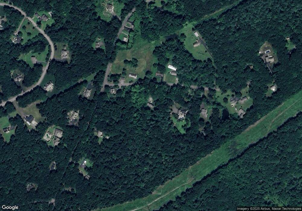
Map
Nearby Homes
- 29 Glendale St
- 36 Clark Rd
- 215 Chestnut St
- 15 Turner Farm Rd
- 12 Turner Farm Rd
- 18 Turner Farm Rd
- 46 Turner Farm Rd
- 45 Turner Farm Rd
- 139 Turner Farm Rd
- 127 Turner Farm Rd
- 117 Turner Farm Rd
- 70 Chocolog Rd
- 13 Perry St
- 127 Old Millville Rd
- 124 Benedict Rd
- 104 Eber Taft Rd
- 111 Cider Mill Rd
- 0 Douglas Pike
- 119 Albee Rd
- 380 Joslin Rd
- 574 Elmwood Ave
- 599 Elmwood Ave
- 608 Elmwood Ave
- 585 Elmwood Ave
- 564 Elmwood Ave
- 138 Glendale St
- 92 Glendale St
- 135 Glendale St
- 135 Glendale St Unit 1
- 88 Glendale St
- 561 Elmwood Ave
- 121 Glendale St
- 154 Glendale St
- 558 Elmwood Ave
- 60 Glendale St
- 76 Kasey Ct
- 149 Glendale St
- 80 Kasey Ct
- 541 Elmwood Ave
- 99 Glendale St