588 Grandview Dr Stevensville, MT 59870
Estimated Value: $634,933 - $689,000
3
Beds
2
Baths
1,792
Sq Ft
$372/Sq Ft
Est. Value
About This Home
This home is located at 588 Grandview Dr, Stevensville, MT 59870 and is currently estimated at $666,644, approximately $372 per square foot. 588 Grandview Dr is a home located in Ravalli County with nearby schools including Lone Rock Elementary School, Lone Rock Junior High School, and Stevensville High School.
Ownership History
Date
Name
Owned For
Owner Type
Purchase Details
Closed on
Aug 26, 2022
Sold by
Goss Raymond L
Bought by
Goss Raymond L
Current Estimated Value
Home Financials for this Owner
Home Financials are based on the most recent Mortgage that was taken out on this home.
Original Mortgage
$162,441
Outstanding Balance
$155,255
Interest Rate
5.3%
Mortgage Type
New Conventional
Estimated Equity
$511,389
Purchase Details
Closed on
Sep 29, 2003
Bought by
Goss Sandra J and Goss Raymond L
Create a Home Valuation Report for This Property
The Home Valuation Report is an in-depth analysis detailing your home's value as well as a comparison with similar homes in the area
Home Values in the Area
Average Home Value in this Area
Purchase History
| Date | Buyer | Sale Price | Title Company |
|---|---|---|---|
| Goss Raymond L | -- | -- | |
| Goss Sandra J | -- | -- |
Source: Public Records
Mortgage History
| Date | Status | Borrower | Loan Amount |
|---|---|---|---|
| Open | Goss Raymond L | $162,441 |
Source: Public Records
Tax History Compared to Growth
Tax History
| Year | Tax Paid | Tax Assessment Tax Assessment Total Assessment is a certain percentage of the fair market value that is determined by local assessors to be the total taxable value of land and additions on the property. | Land | Improvement |
|---|---|---|---|---|
| 2025 | $1,074 | $589,500 | $0 | $0 |
| 2024 | $851 | $424,100 | $0 | $0 |
| 2023 | $1,565 | $424,100 | $0 | $0 |
| 2022 | $956 | $302,600 | $0 | $0 |
| 2021 | $1,541 | $302,600 | $0 | $0 |
| 2020 | $2,319 | $274,900 | $0 | $0 |
| 2019 | $1,516 | $274,900 | $0 | $0 |
| 2018 | $763 | $244,600 | $0 | $0 |
| 2017 | $604 | $244,600 | $0 | $0 |
| 2016 | $647 | $232,300 | $0 | $0 |
| 2015 | $707 | $232,300 | $0 | $0 |
| 2014 | $1,922 | $143,895 | $0 | $0 |
Source: Public Records
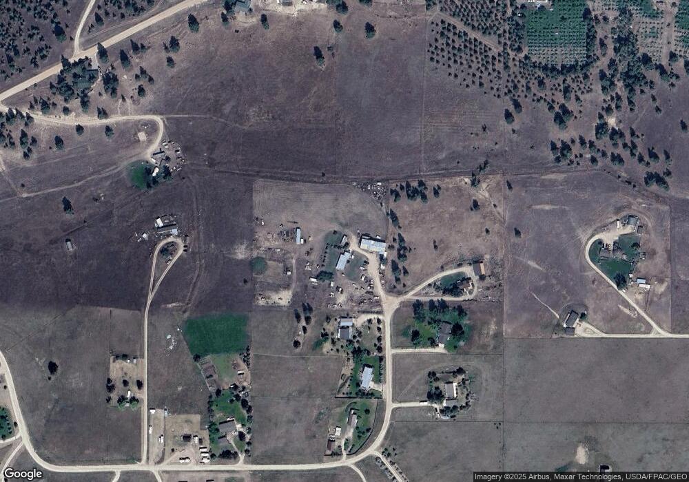
Map
Nearby Homes
- 4784 Cameron Rose Ln
- 4728 Northview Dr
- nhn 3 Mile Creek Rd
- 5031 Cameron Rose Ln
- 5289 Gabriels Way
- 4786 Hereford Ln
- 5014 Eastside Hwy
- 201 Barnwood Way
- 205 Barnwood Way
- 1216 Rugged Ridge Rd
- 226 Sky Pilot Ln
- 4465 Collie Ct
- 4488 Collie Ct
- NKN Cougar Ln
- 4441 Gem Ranch Rd
- 332 Hadli Ct
- 571 Ridge Rd
- 481 Dry Gulch Rd
- Lot 5 - PHASE 2 Broken Spoke Rd
- Lot 4 - PHASE 2 Broken Spoke Rd
- 582 Grandview Dr
- 587 Grandview Dr
- 589 Grandview Dr
- 576 Grandview Dr
- 573 Grandview Dr
- 570 Grandview Dr
- 538 Pioneer Way
- 536 Grandview Dr
- 541 Porter Hill Rd
- 553 Porter Hill Rd
- 530 Grandview Dr
- Unk Porterhill
- 531 Porter Hill Rd
- 518 Grandview Dr
- 555 Grandview Dr
- Unk 19 Cameron Rose
- 579 Porter Hill Rd
- 500 Porter Hill Rd
- 456 Porter Hill Rd
- Lot 18 Porter Hill Rd