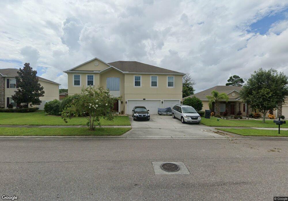
588 L M Davey Ln Titusville, FL 32780
Estimated Value: $480,000 - $564,000
6
Beds
4
Baths
3,938
Sq Ft
$135/Sq Ft
Est. Value
About This Home
This home is located at 588 L M Davey Ln, Titusville, FL 32780 and is currently estimated at $531,056, approximately $134 per square foot. 588 L M Davey Ln is a home located in Brevard County with nearby schools including Imperial Estates Elementary School, Titusville High School, and Andrew Jackson Middle School.
Ownership History
Date
Name
Owned For
Owner Type
Purchase Details
Closed on
May 13, 2011
Sold by
Maronda Homes Inc Of Florida
Bought by
Hornsby Richard A and Hornsby Joy M
Current Estimated Value
Home Financials for this Owner
Home Financials are based on the most recent Mortgage that was taken out on this home.
Original Mortgage
$224,975
Outstanding Balance
$156,131
Interest Rate
4.85%
Estimated Equity
$374,925
Purchase Details
Closed on
Dec 2, 2010
Sold by
Arbor Woods Investments Llc
Bought by
Maronda Homes Inc Of Florida
Create a Home Valuation Report for This Property
The Home Valuation Report is an in-depth analysis detailing your home's value as well as a comparison with similar homes in the area
Home Values in the Area
Average Home Value in this Area
Purchase History
| Date | Buyer | Sale Price | Title Company |
|---|---|---|---|
| Hornsby Richard A | $225,000 | Steel City Title Inc | |
| Maronda Homes Inc Of Florida | $35,000 | Attorney |
Source: Public Records
Mortgage History
| Date | Status | Borrower | Loan Amount |
|---|---|---|---|
| Open | Hornsby Richard A | $224,975 |
Source: Public Records
Tax History Compared to Growth
Tax History
| Year | Tax Paid | Tax Assessment Tax Assessment Total Assessment is a certain percentage of the fair market value that is determined by local assessors to be the total taxable value of land and additions on the property. | Land | Improvement |
|---|---|---|---|---|
| 2025 | $3,960 | $270,040 | -- | -- |
| 2024 | $3,911 | $262,430 | -- | -- |
| 2023 | $3,911 | $254,790 | $0 | $0 |
| 2022 | $3,684 | $247,370 | $0 | $0 |
| 2021 | $3,799 | $240,170 | $0 | $0 |
| 2020 | $3,799 | $236,860 | $0 | $0 |
| 2019 | $3,834 | $229,660 | $0 | $0 |
| 2018 | $3,865 | $225,380 | $0 | $0 |
| 2017 | $3,847 | $220,750 | $0 | $0 |
| 2016 | $3,787 | $216,210 | $40,000 | $176,210 |
| 2015 | $3,906 | $214,710 | $40,000 | $174,710 |
| 2014 | $3,889 | $213,010 | $40,000 | $173,010 |
Source: Public Records
Map
Nearby Homes
- 690 Margie Dr
- 585 Margie Dr
- 685 Margie Dr
- 609 L M Davey Ln
- 557 L M Davey Ln
- 501 Arbor Ridge Ln
- 638 L M Davey Ln
- 487 L M Davey Ln
- 5345 Sharlene Dr
- 592 Marian Ct
- 5495 Wendy Lee Dr
- 4955 Cocoanut Dr
- 5290 Sandra Dr
- 500 Loxley Ct
- 145 Breakaway Trail
- 735 Scotty Dr
- Tbd Little League Ln
- 4880 Key Largo Dr W
- 5440 Sandra Dr
- 5610&5612 Sisson Rd
- 592 L M Davey Ln
- 584 L M Davey Ln
- 650 Margie Dr
- 660 Margie Dr
- 670 Margie Dr
- 640 Margie Dr
- 680 Margie Dr
- 630 Margie Dr
- 620 Margie Dr
- 596 L M Davey Ln
- 580 L M Davey Ln
- 610 Margie Dr
- 700 Margie Dr
- 441 Meredith Way
- 440 Meredith Way
- 600 Margie Dr
- 710 Margie Dr
- 590 Margie Dr
- 720 Margie Dr
- 600 L M Davey Ln