Estimated Value: $342,580 - $417,000
3
Beds
1
Bath
1,040
Sq Ft
$371/Sq Ft
Est. Value
About This Home
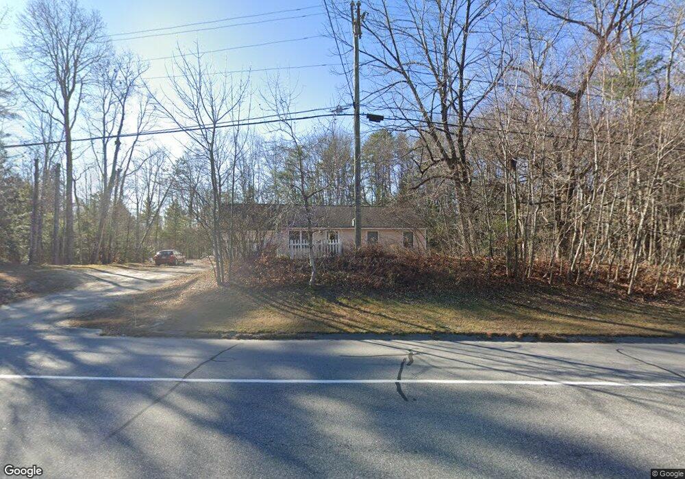
This home is located at 588 Roosevelt Trail, Casco, ME 04015 and is currently estimated at $385,395, approximately $370 per square foot. 588 Roosevelt Trail is a home located in Cumberland County with nearby schools including Lake Region High School.
Ownership History
Date
Name
Owned For
Owner Type
Purchase Details
Closed on
Nov 30, 2012
Sold by
Tardie Chad R and Tardie Amy L
Bought by
Mcgrath David K
Current Estimated Value
Home Financials for this Owner
Home Financials are based on the most recent Mortgage that was taken out on this home.
Original Mortgage
$140,816
Outstanding Balance
$97,004
Interest Rate
3.4%
Mortgage Type
New Conventional
Estimated Equity
$288,391
Purchase Details
Closed on
Aug 16, 2006
Sold by
Meyer Dev & Assn
Bought by
Tardie Amy L and Tardie Chad R
Home Financials for this Owner
Home Financials are based on the most recent Mortgage that was taken out on this home.
Original Mortgage
$165,500
Interest Rate
6.88%
Mortgage Type
Purchase Money Mortgage
Purchase Details
Closed on
Oct 31, 2005
Sold by
Eldridge Arnold D and Eldridge Althea R
Bought by
Meyer Dev & Assn
Home Financials for this Owner
Home Financials are based on the most recent Mortgage that was taken out on this home.
Original Mortgage
$108,000
Interest Rate
5.79%
Mortgage Type
Purchase Money Mortgage
Create a Home Valuation Report for This Property
The Home Valuation Report is an in-depth analysis detailing your home's value as well as a comparison with similar homes in the area
Home Values in the Area
Average Home Value in this Area
Purchase History
| Date | Buyer | Sale Price | Title Company |
|---|---|---|---|
| Mcgrath David K | -- | -- | |
| Tardie Amy L | -- | -- | |
| Meyer Dev & Assn | -- | -- |
Source: Public Records
Mortgage History
| Date | Status | Borrower | Loan Amount |
|---|---|---|---|
| Open | Mcgrath David K | $140,816 | |
| Previous Owner | Tardie Amy L | $165,500 | |
| Previous Owner | Tardie Amy L | $10,000 | |
| Previous Owner | Meyer Dev & Assn | $108,000 |
Source: Public Records
Tax History
| Year | Tax Paid | Tax Assessment Tax Assessment Total Assessment is a certain percentage of the fair market value that is determined by local assessors to be the total taxable value of land and additions on the property. | Land | Improvement |
|---|---|---|---|---|
| 2024 | $3,037 | $310,800 | $39,900 | $270,900 |
| 2023 | $2,259 | $141,600 | $23,400 | $118,200 |
| 2022 | $2,217 | $141,600 | $23,400 | $118,200 |
| 2021 | $2,217 | $141,600 | $23,400 | $118,200 |
| 2020 | $2,209 | $141,600 | $23,400 | $118,200 |
| 2019 | $2,181 | $141,600 | $23,400 | $118,200 |
| 2018 | $2,181 | $141,600 | $23,400 | $118,200 |
| 2017 | $2,596 | $141,600 | $23,400 | $118,200 |
| 2016 | $2,110 | $141,600 | $23,400 | $118,200 |
| 2015 | $1,886 | $126,600 | $23,400 | $103,200 |
| 2013 | $1,804 | $126,600 | $23,400 | $103,200 |
Source: Public Records
Map
Nearby Homes
- 67 State Park Rd
- 510 Roosevelt Trail
- 27 Brilliant Way
- 101 Mitchell Rd
- 34 Martha Rd
- 7 Maplewood Dr
- 22 Abenaki Acres Rd
- 46 Red Mill Rd
- 21 Hillside Ave
- 26 Andrews Dr
- 261 Point Sebago Rd Unit 381
- 261 Point Sebago Rd Unit S0360
- 261 Point Sebago Rd Unit S0344
- 261 Point Sebago Rd Unit S0343
- 261 Point Sebago Rd Unit S0851
- 261 Point Sebago Rd Unit 765
- 261 Point Sebago Rd Unit S0846
- 261 Point Sebago Rd Unit 332
- 261 Point Sebago Rd Unit MC003
- 261 Point Sebago Rd Unit S0527
- 0 Sunny Hill Rd
- 600 Roosevelt Trail
- 0 State Park
- '''0''' State Park Rd
- 8 Sunny Hill Rd
- 1 State Park Rd
- 647 Roosevelt Trail
- 573 Roosevelt Trail
- 7 State Park Rd
- 561 Roosevelt Trail
- 22 Sunny Hill Rd
- 605 Roosevelt Trail
- 29 State Park Rd
- 559 Roosevelt Trail
- 31 Sunny Hill Rd
- 10 Moose Run
- 616 Roosevelt Trail
- 624 Roosevelt Trail
- 549 Roosevelt Trail
- 10 Moose Run
Your Personal Tour Guide
Ask me questions while you tour the home.