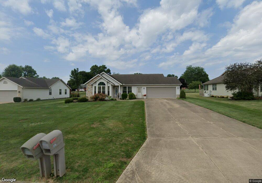
588 Stone Meadow Cir Loudonville, OH 44842
Estimated Value: $308,677 - $384,000
3
Beds
3
Baths
1,604
Sq Ft
$208/Sq Ft
Est. Value
About This Home
This home is located at 588 Stone Meadow Cir, Loudonville, OH 44842 and is currently estimated at $334,169, approximately $208 per square foot. 588 Stone Meadow Cir is a home located in Ashland County with nearby schools including McMullen Elementary School, Budd Elementary School, and Loudonville High School.
Ownership History
Date
Name
Owned For
Owner Type
Purchase Details
Closed on
Sep 13, 2025
Sold by
Phyllis A Mcclure Trust and Mcclure Charles S
Bought by
Kaylor Carolyn R
Current Estimated Value
Home Financials for this Owner
Home Financials are based on the most recent Mortgage that was taken out on this home.
Original Mortgage
$247,200
Outstanding Balance
$247,200
Interest Rate
5.85%
Mortgage Type
New Conventional
Estimated Equity
$86,969
Purchase Details
Closed on
Sep 8, 2010
Purchase Details
Closed on
Jan 30, 2008
Purchase Details
Closed on
Aug 22, 2007
Sold by
Atkinson Glenn F
Bought by
Gorrell William F
Purchase Details
Closed on
Jun 1, 2005
Bought by
Atkinson Glenn F
Purchase Details
Closed on
Aug 1, 2003
Purchase Details
Closed on
Jan 9, 2002
Purchase Details
Closed on
May 4, 2000
Sold by
James E Mcclure Trust
Bought by
Phyllis A Mcclure Trust
Create a Home Valuation Report for This Property
The Home Valuation Report is an in-depth analysis detailing your home's value as well as a comparison with similar homes in the area
Home Values in the Area
Average Home Value in this Area
Purchase History
| Date | Buyer | Sale Price | Title Company |
|---|---|---|---|
| Kaylor Carolyn R | $309,000 | Mount Morris Title | |
| -- | $170,000 | -- | |
| -- | -- | -- | |
| Gorrell William F | $200,000 | -- | |
| Atkinson Glenn F | $24,000 | -- | |
| -- | $168,500 | -- | |
| -- | -- | -- | |
| Phyllis A Mcclure Trust | -- | None Listed On Document |
Source: Public Records
Mortgage History
| Date | Status | Borrower | Loan Amount |
|---|---|---|---|
| Open | Kaylor Carolyn R | $247,200 |
Source: Public Records
Tax History Compared to Growth
Tax History
| Year | Tax Paid | Tax Assessment Tax Assessment Total Assessment is a certain percentage of the fair market value that is determined by local assessors to be the total taxable value of land and additions on the property. | Land | Improvement |
|---|---|---|---|---|
| 2024 | $2,959 | $85,950 | $14,970 | $70,980 |
| 2023 | $2,959 | $85,950 | $14,970 | $70,980 |
| 2022 | $2,237 | $59,280 | $10,330 | $48,950 |
| 2021 | $2,269 | $59,280 | $10,330 | $48,950 |
| 2020 | $2,137 | $59,280 | $10,330 | $48,950 |
| 2019 | $1,858 | $51,750 | $8,660 | $43,090 |
| 2018 | $1,870 | $51,750 | $8,660 | $43,090 |
| 2017 | $1,651 | $51,750 | $8,660 | $43,090 |
| 2016 | $1,651 | $47,050 | $7,880 | $39,170 |
| 2015 | $1,640 | $47,050 | $7,880 | $39,170 |
| 2013 | $1,832 | $51,650 | $7,880 | $43,770 |
Source: Public Records
Map
Nearby Homes
- 500 Stone Meadow Cir
- 524 N Union St
- 333 E Campbell St
- 316 E Campbell St
- 518 Snyder Dr
- 526 E Campbell St
- 723 Pearl Dr
- 2818 Township Road 2812
- 1406 Pearl Dr
- 513 N Mount Vernon Ave
- 3183 County Road 3175
- 6620 Township Road 451
- 0 County Road 917
- 6913 County Road 22
- 136 Bridge St
- 14602 Township Road 469
- 609 Ohio 95
- 3317 Township Road 539
- 14355 Township Road 467
- 560 Township Road 2402
- 566 Stone Meadow Cir
- 610 Stone Meadow Cir
- 0 Stone Meadow Cir
- 544 Stone Meadow Cir
- 13 Stone Meadow Cir
- 39 Stone Meadow Cir
- 0 Stone Meadow Circle Lot #31
- 0 Stone Meadow Circle Lot #33
- 0 Stone Meadow Circle Lot #32
- 0 Stone Meadow Circle Lot #39
- 530 N Union St
- 577 Stone Meadow Cir
- 599 Stone Meadow Cir
- 412 Stone Meadow Cir
- 555 Stone Meadow Cir
- 348 Stone Meadow Cir
- 538 N Union St
- 522 Stone Meadow Cir
- 0 Stone Meadow Circle Lot #29
- 0 Stone Meadow Circle Lot 29