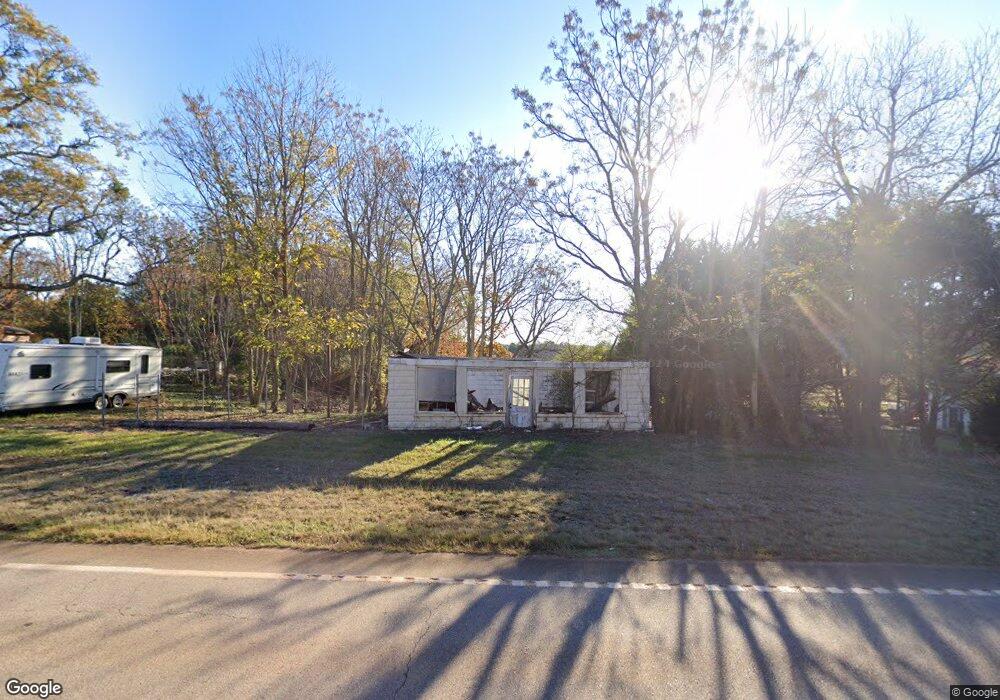
5881 W Point Rd Lagrange, GA 30240
Estimated Value: $165,000 - $299,000
1
Bed
1
Bath
600
Sq Ft
$354/Sq Ft
Est. Value
About This Home
This home is located at 5881 W Point Rd, Lagrange, GA 30240 and is currently estimated at $212,667, approximately $354 per square foot. 5881 W Point Rd is a home with nearby schools including Long Cane Elementary School, West Point Elementary School, and Berta Weathersbee Elementary School.
Ownership History
Date
Name
Owned For
Owner Type
Purchase Details
Closed on
Jan 18, 1990
Sold by
Welborn Milred and Welborn Boggs,Phillip
Bought by
Boggs Phillip W
Current Estimated Value
Purchase Details
Closed on
Feb 1, 1988
Sold by
Welborn Milred and Welborn Boggs,Phillip
Bought by
Welborn Milred and Welborn Boggs,Phillip
Purchase Details
Closed on
Jun 8, 1977
Sold by
Boggs E B
Bought by
Welborn Milred and Welborn Boggs,Phillip
Purchase Details
Closed on
Jul 20, 1948
Sold by
Judson Milam
Bought by
Boggs E B
Create a Home Valuation Report for This Property
The Home Valuation Report is an in-depth analysis detailing your home's value as well as a comparison with similar homes in the area
Purchase History
| Date | Buyer | Sale Price | Title Company |
|---|---|---|---|
| Boggs Phillip W | -- | -- | |
| Welborn Milred | -- | -- | |
| Welborn Milred | -- | -- | |
| Boggs E B | -- | -- |
Source: Public Records
Tax History
| Year | Tax Paid | Tax Assessment Tax Assessment Total Assessment is a certain percentage of the fair market value that is determined by local assessors to be the total taxable value of land and additions on the property. | Land | Improvement |
|---|---|---|---|---|
| 2025 | $214 | $7,840 | $7,840 | $0 |
| 2024 | $214 | $7,840 | $7,840 | $0 |
| 2023 | $215 | $7,888 | $7,840 | $48 |
| 2022 | $225 | $8,072 | $7,840 | $232 |
| 2021 | $216 | $7,160 | $6,200 | $960 |
| 2020 | $216 | $7,160 | $6,200 | $960 |
| 2019 | $218 | $7,240 | $6,200 | $1,040 |
| 2018 | $215 | $7,120 | $6,200 | $920 |
| 2017 | $215 | $7,120 | $6,200 | $920 |
| 2016 | $215 | $7,122 | $6,224 | $898 |
| 2015 | $215 | $7,122 | $6,224 | $898 |
| 2014 | $214 | $7,088 | $6,224 | $864 |
| 2013 | -- | $7,162 | $6,224 | $938 |
Source: Public Records
Map
Nearby Homes
- 5714 W Point Rd
- 0 Lambert Rd
- Sandtown Road Unit: 1 2+ - Acre
- 0 Sandtown Rd Unit 10255987
- 106 Woodstream Trail
- 107 Sweetwater Ct
- 102 Bridgewater Dr
- 107 Waters Edge Dr
- 1248 Cannonville Rd
- 0 Warner Rd Unit 10686116
- 394 Ferrell Tatum Rd
- 648 Warner Rd
- 0 Cannonville Rd
- 101 Garden Walk
- 206 Ann Murphy Rd
- 4172 Bartley Rd
- 3835 W Point Rd
- 104 Hidden Springs Dr
- 107 Amhurst Dr
- 640 Hudson Rd
- 5909 West Point Rd
- 5890 West Point Rd
- 5874 West Point Rd
- 5871 West Point Rd
- 5856 West Point Rd
- 5922 West Point Rd
- 5922 West Point Rd
- 5830 West Point Rd
- 5966 West Point Rd
- 5966 West Point Rd
- 5949 West Point Rd
- 5949 West Point Rd
- 5801 West Point Rd
- 5982 West Point Rd
- 31 Tyler St
- 5997 West Point Rd
- 5997 West Point Rd
- 40 Tyler St
- 5784 W Point Rd
- 5784 West Point Rd