5883 W Fork Rd Cincinnati, OH 45247
Estimated Value: $404,000 - $798,000
4
Beds
4
Baths
2,665
Sq Ft
$247/Sq Ft
Est. Value
About This Home
This home is located at 5883 W Fork Rd, Cincinnati, OH 45247 and is currently estimated at $656,965, approximately $246 per square foot. 5883 W Fork Rd is a home located in Hamilton County with nearby schools including Monfort Heights Elementary School, White Oak Middle School, and Colerain High School.
Ownership History
Date
Name
Owned For
Owner Type
Purchase Details
Closed on
Apr 26, 2023
Sold by
Meyer Todd
Bought by
Coffaro Jeffrey W and Coffaro Linda A
Current Estimated Value
Purchase Details
Closed on
Jun 25, 2012
Sold by
Mees Ruth and Mees Howard L
Bought by
Mees Howard L
Home Financials for this Owner
Home Financials are based on the most recent Mortgage that was taken out on this home.
Original Mortgage
$232,500
Interest Rate
3.83%
Mortgage Type
New Conventional
Purchase Details
Closed on
Apr 25, 2000
Sold by
Mees Howard L
Bought by
Mees Ruth
Create a Home Valuation Report for This Property
The Home Valuation Report is an in-depth analysis detailing your home's value as well as a comparison with similar homes in the area
Home Values in the Area
Average Home Value in this Area
Purchase History
| Date | Buyer | Sale Price | Title Company |
|---|---|---|---|
| Coffaro Jeffrey W | $660,000 | None Listed On Document | |
| Coffaro Jeffrey W | $660,000 | None Listed On Document | |
| Mees Howard L | -- | Attorney | |
| Mees Ruth | -- | -- |
Source: Public Records
Mortgage History
| Date | Status | Borrower | Loan Amount |
|---|---|---|---|
| Previous Owner | Mees Howard L | $232,500 |
Source: Public Records
Tax History Compared to Growth
Tax History
| Year | Tax Paid | Tax Assessment Tax Assessment Total Assessment is a certain percentage of the fair market value that is determined by local assessors to be the total taxable value of land and additions on the property. | Land | Improvement |
|---|---|---|---|---|
| 2024 | $3,141 | $56,270 | $38,007 | $18,263 |
| 2023 | $12,742 | $247,559 | $38,007 | $209,552 |
| 2022 | $10,565 | $170,051 | $39,907 | $130,144 |
| 2021 | $9,693 | $170,051 | $39,907 | $130,144 |
| 2020 | $9,765 | $170,051 | $39,907 | $130,144 |
| 2019 | $10,325 | $161,953 | $38,007 | $123,946 |
| 2018 | $9,126 | $161,953 | $38,007 | $123,946 |
| 2017 | $8,693 | $161,953 | $38,007 | $123,946 |
| 2016 | $8,328 | $154,053 | $37,632 | $116,421 |
| 2015 | $8,391 | $154,053 | $37,632 | $116,421 |
| 2014 | $8,408 | $154,053 | $37,632 | $116,421 |
| 2013 | $7,950 | $155,611 | $38,014 | $117,597 |
Source: Public Records
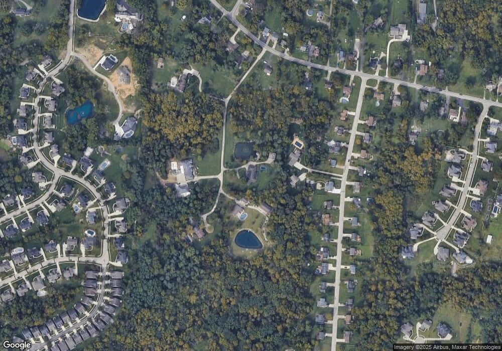
Map
Nearby Homes
- 5801 W Fork Rd
- 6044 Eden Roc Place
- 5804 Cedaridge Dr
- 5980 Brierly Creek Rd
- 6130 W Fork Rd
- 5991 Gaines Rd
- 5563 Haft Rd
- 5998 Brierly Ridge Dr
- 5340 Lakefront Dr Unit 5340
- 6051 Shelrich Ct
- 5380 Haft Rd
- 6251 W Fork Rd
- 5237 Clearlake Dr Unit 22
- 5221 Clearlake Dr
- 5423 Bluesky Dr
- 5695 Jessup Rd
- 6306 W Fork Rd
- 6163 Sheed Rd
- 5156 Valley Ridge Rd
- 5104 Jonkard Ln
- 5885 W Fork Rd
- 5635 Bluepine Dr
- 5637 Bluepine Dr
- 5629 Bluepine Dr
- 5643 Bluepine Dr
- 5617 Bluepine Dr
- 5891 W Fork Rd
- 5889 W Fork Rd
- 5655 Bluepine Dr
- 5593 Bluepine Dr
- 5667 Bluepine Dr
- 5881 W Fork Rd
- 5581 Bluepine Dr
- 5630 Bluepine Dr
- 5618 Bluepine Dr
- 5861 W Fork Rd
- 5642 Bluepine Dr
- 5679 Bluepine Dr
- 5606 Bluepine Dr
- 5654 Bluepine Dr