Estimated Value: $305,000 - $372,000
2
Beds
2
Baths
1,950
Sq Ft
$180/Sq Ft
Est. Value
About This Home
This home is located at 5886 Poor Mountain Rd, Salem, VA 24153 and is currently estimated at $350,087, approximately $179 per square foot. 5886 Poor Mountain Rd is a home located in Roanoke County with nearby schools including Glenvar Elementary School, Glenvar Middle School, and Glenvar High School.
Ownership History
Date
Name
Owned For
Owner Type
Purchase Details
Closed on
Mar 31, 2025
Sold by
Mackay Kelly B and Burroughs Edward E
Bought by
Gustafson Michael Compton and Gustafson Giulia Toschi
Current Estimated Value
Home Financials for this Owner
Home Financials are based on the most recent Mortgage that was taken out on this home.
Original Mortgage
$150,000
Outstanding Balance
$149,334
Interest Rate
6.65%
Mortgage Type
New Conventional
Estimated Equity
$200,753
Create a Home Valuation Report for This Property
The Home Valuation Report is an in-depth analysis detailing your home's value as well as a comparison with similar homes in the area
Purchase History
| Date | Buyer | Sale Price | Title Company |
|---|---|---|---|
| Gustafson Michael Compton | $350,000 | Fidelity National Title |
Source: Public Records
Mortgage History
| Date | Status | Borrower | Loan Amount |
|---|---|---|---|
| Open | Gustafson Michael Compton | $150,000 |
Source: Public Records
Tax History
| Year | Tax Paid | Tax Assessment Tax Assessment Total Assessment is a certain percentage of the fair market value that is determined by local assessors to be the total taxable value of land and additions on the property. | Land | Improvement |
|---|---|---|---|---|
| 2025 | $2,564 | $248,900 | $116,600 | $132,300 |
| 2024 | $2,458 | $236,300 | $116,600 | $119,700 |
| 2023 | $1,706 | $228,800 | $116,600 | $112,200 |
| 2022 | $1,518 | $207,200 | $111,600 | $95,600 |
| 2021 | $1,485 | $204,100 | $111,600 | $92,500 |
| 2020 | $1,460 | $201,800 | $111,600 | $90,200 |
| 2019 | $1,439 | $199,900 | $111,600 | $88,300 |
| 2018 | $1,424 | $198,800 | $111,600 | $87,200 |
| 2017 | $1,424 | $198,500 | $111,600 | $86,900 |
| 2016 | $1,413 | $197,500 | $111,600 | $85,900 |
| 2015 | $1,402 | $196,500 | $111,600 | $84,900 |
| 2014 | $1,397 | $196,100 | $110,600 | $85,500 |
Source: Public Records
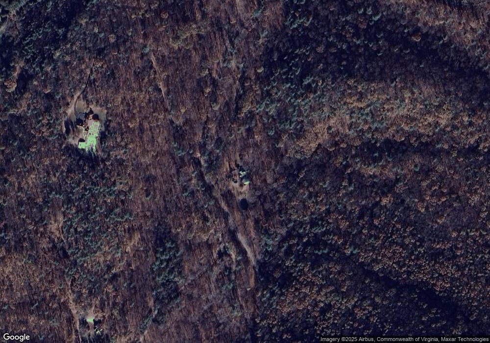
Map
Nearby Homes
- 4312 Harborwood Rd
- 6133 Poor Mountain Rd
- 0 Poor Mountain Rd
- 5421 Yale Dr
- 5570 New Pleasant Way
- 0 Yale Dr
- 5510 New Pleasant Way
- 5506 New Pleasant Way
- 4901 Glenvar Heights Blvd
- 5594 Old Grove Ln
- 5548 Old Grove Ln
- 0 Honeysuckle Rd Unit 917430
- 0 Twelve Oclock Knob Rd
- 5264 Arrowhead Trail
- 5280 Arrowhead Trail
- 5286 Arrowhead Trail
- 5258 Arrowhead Trail
- 4951 Warrior Dr
- 5287 Arrowhead Trail
- 5261 Arrowhead Trail
- 5904 Poor Mountain Rd
- 5875 Poor Mountain Rd
- 5901 Poor Mountain Rd
- 5650 Poor Mountain Rd
- 5767 Foster Ln
- 5997 Poor Mountain Rd
- 6005 Poor Mountain Rd
- 6001 Poor Mountain Rd
- 5784 Foster Ln
- 5656 Poor Mountain Rd
- 6006 Poor Mountain Rd
- 5664 Poor Mountain Rd
- 5640 Poor Mountain Rd
- 6021 Poor Mountain Rd
- 5669 Poor Mountain Rd
- 6023 Poor Mountain Rd
- 5672 Poor Mountain Rd
- 6029 Poor Mountain Rd
- 5668 Poor Mountain Rd
- 4390 Harborwood Rd
Your Personal Tour Guide
Ask me questions while you tour the home.