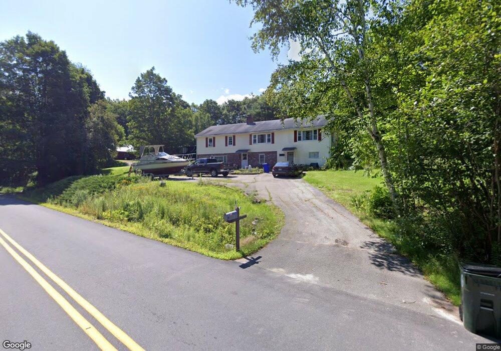
589 Black Brook Rd Goffstown, NH 03045
Estimated Value: $484,615 - $537,000
3
Beds
1
Bath
1,560
Sq Ft
$327/Sq Ft
Est. Value
About This Home
This home is located at 589 Black Brook Rd, Goffstown, NH 03045 and is currently estimated at $510,154, approximately $327 per square foot. 589 Black Brook Rd is a home with nearby schools including Mountain View Middle School and Goffstown High School.
Ownership History
Date
Name
Owned For
Owner Type
Purchase Details
Closed on
Dec 15, 2000
Sold by
Daniels Murl A
Bought by
Boudreau Robert
Current Estimated Value
Home Financials for this Owner
Home Financials are based on the most recent Mortgage that was taken out on this home.
Original Mortgage
$143,920
Interest Rate
7.7%
Create a Home Valuation Report for This Property
The Home Valuation Report is an in-depth analysis detailing your home's value as well as a comparison with similar homes in the area
Home Values in the Area
Average Home Value in this Area
Purchase History
| Date | Buyer | Sale Price | Title Company |
|---|---|---|---|
| Boudreau Robert | $179,900 | -- |
Source: Public Records
Mortgage History
| Date | Status | Borrower | Loan Amount |
|---|---|---|---|
| Open | Boudreau Robert | $240,000 | |
| Closed | Boudreau Robert | $195,000 | |
| Closed | Boudreau Robert | $143,920 |
Source: Public Records
Tax History Compared to Growth
Tax History
| Year | Tax Paid | Tax Assessment Tax Assessment Total Assessment is a certain percentage of the fair market value that is determined by local assessors to be the total taxable value of land and additions on the property. | Land | Improvement |
|---|---|---|---|---|
| 2024 | $8,626 | $422,000 | $185,700 | $236,300 |
| 2023 | $7,959 | $422,000 | $185,700 | $236,300 |
| 2022 | $7,096 | $269,700 | $120,500 | $149,200 |
| 2021 | $6,694 | $269,700 | $120,500 | $149,200 |
| 2020 | $14 | $269,700 | $120,500 | $149,200 |
| 2019 | $6,629 | $269,700 | $120,500 | $149,200 |
| 2018 | $15 | $269,700 | $120,500 | $149,200 |
| 2017 | $16 | $238,700 | $100,500 | $138,200 |
| 2016 | $6,309 | $238,700 | $100,500 | $138,200 |
| 2015 | $6,153 | $218,500 | $86,500 | $132,000 |
| 2014 | $5,900 | $218,500 | $86,500 | $132,000 |
Source: Public Records
Map
Nearby Homes
- 602 Black Brook Rd
- 30 Horizon Dr
- 45 Range Rd
- 10 Serenitas Ln
- 22 Peppermint St
- 227 Twist Hill Rd
- 500 E Dunbarton Rd
- 0 Fairway Dr Unit 11
- 22 Fairway Dr
- 22 Winter Hill Rd
- 328 E Dunbarton Rd
- 2 Larch St Unit 1
- 501 E Dunbarton Rd
- 78 Rangeway Rd
- 137 Elm St
- 163 Woodview Way Unit 2
- 99 Elm St
- 61 Woodview Way
- 43 Maple Leaf Way
- 13 S Bow Dunbarton Rd
- 568 Black Brook Rd
- 561 Black Brook Rd
- 603 Black Brook Rd
- 558 Black Brook Rd
- 597 Black Brook Rd
- 543 Black Brook Rd
- 23 Hoyt Rd
- 613 Black Brook Rd
- 537 Black Brook Rd
- 546 Black Brook Rd
- 7 Hoyt Rd
- 533 Black Brook Rd
- 625 Black Brook Rd
- 536 Black Brook Rd
- 525 Black Brook Rd
- 626 Black Brook Rd
- 15 Hoyt Rd
- 637 Black Brook Rd
- 402 Tibbetts Hill Rd
- 388 Tibbetts Hill Rd