Estimated Value: $256,000 - $522,427
Studio
2
Baths
1,944
Sq Ft
$183/Sq Ft
Est. Value
About This Home
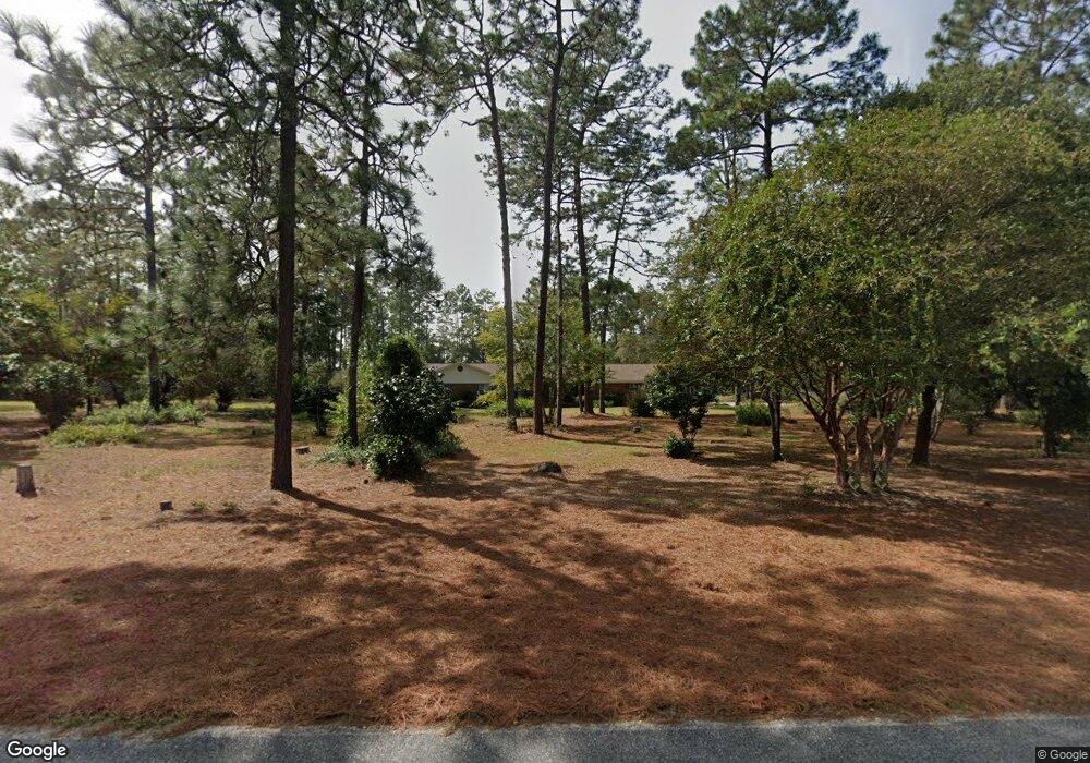
This home is located at 589 Cameron Rd, Jesup, GA 31545 and is currently estimated at $356,476, approximately $183 per square foot. 589 Cameron Rd is a home located in Wayne County with nearby schools including Bacon Elementary School, Martha Puckett Middle School, and Wayne County High School.
Ownership History
Date
Name
Owned For
Owner Type
Purchase Details
Closed on
Apr 23, 2025
Sold by
Thomas Patsy Hayes
Bought by
Hayes Courtney Lofton and Hayes Ethan Ronnie
Current Estimated Value
Home Financials for this Owner
Home Financials are based on the most recent Mortgage that was taken out on this home.
Original Mortgage
$38,550
Outstanding Balance
$37,920
Interest Rate
6.65%
Mortgage Type
New Conventional
Estimated Equity
$318,556
Purchase Details
Closed on
Dec 23, 2014
Sold by
Thomas Patsy Hayes
Bought by
Stanfield Heather C
Purchase Details
Closed on
Apr 30, 2010
Sold by
Hayes Joe D
Bought by
Thomas Patsy H
Purchase Details
Closed on
May 1, 1988
Sold by
Thomas W Glenn
Bought by
Thomas Patsy H
Purchase Details
Closed on
Jun 1, 1987
Bought by
Thomas W Glenn
Purchase Details
Closed on
Aug 1, 1977
Create a Home Valuation Report for This Property
The Home Valuation Report is an in-depth analysis detailing your home's value as well as a comparison with similar homes in the area
Purchase History
| Date | Buyer | Sale Price | Title Company |
|---|---|---|---|
| Hayes Courtney Lofton | $133,400 | -- | |
| Hayes Ronnie Lenn | -- | -- | |
| Stanfield Heather C | -- | -- | |
| Thomas Patsy H | -- | -- | |
| Thomas Patsy H | -- | -- | |
| Thomas Patsy H | -- | -- | |
| Thomas Patsy H | -- | -- | |
| Thomas W Glenn | -- | -- | |
| -- | -- | -- |
Source: Public Records
Mortgage History
| Date | Status | Borrower | Loan Amount |
|---|---|---|---|
| Open | Hayes Ronnie Lenn | $38,550 |
Source: Public Records
Tax History
| Year | Tax Paid | Tax Assessment Tax Assessment Total Assessment is a certain percentage of the fair market value that is determined by local assessors to be the total taxable value of land and additions on the property. | Land | Improvement |
|---|---|---|---|---|
| 2025 | $1,398 | $159,194 | $64,016 | $95,178 |
| 2024 | $1,265 | $156,428 | $64,016 | $92,412 |
| 2023 | $4,397 | $146,550 | $64,016 | $82,534 |
| 2022 | $2,493 | $132,720 | $64,016 | $68,704 |
| 2021 | $2,401 | $125,094 | $64,016 | $61,078 |
| 2020 | $2,563 | $124,611 | $63,533 | $61,078 |
| 2019 | $2,628 | $124,611 | $63,533 | $61,078 |
| 2018 | $2,617 | $124,611 | $63,533 | $61,078 |
| 2017 | $2,222 | $122,530 | $61,452 | $61,078 |
| 2016 | $2,137 | $122,529 | $61,452 | $61,078 |
| 2014 | $2,137 | $130,226 | $69,149 | $61,078 |
| 2013 | -- | $61,077 | $0 | $61,077 |
Source: Public Records
Map
Nearby Homes
- 0 S First St Unit 166649
- 1320 Empire Rd
- 71 Jamies Way
- 3808 Waycross Hwy
- 1351 Old Screven Rd
- 0 S Ga Hwy 341 Unit SA348876
- 0 S Ga Hwy 341 Unit 10692021
- 675 Foxwood Cir
- 168 Nature Cir
- 1435 Bennett Crossing
- 7014 Waycross Hwy
- 7114 Waycross Hwy
- 7132 Waycross Hwy
- 83 Barrington Dr
- 243 Charlton St
- 236 Bacon St
- 00 Photonia Ave
- 210 Sugar Maple St
- TRACT 1 Sunset Blvd
- 00 Sunset Blvd
Your Personal Tour Guide
Ask me questions while you tour the home.