589 Campground Rd Harding, PA 18643
Estimated Value: $229,000 - $235,000
3
Beds
2
Baths
920
Sq Ft
$253/Sq Ft
Est. Value
About This Home
This home is located at 589 Campground Rd, Harding, PA 18643 and is currently estimated at $232,457, approximately $252 per square foot. 589 Campground Rd is a home located in Luzerne County with nearby schools including Wyoming Area Secondary Center.
Ownership History
Date
Name
Owned For
Owner Type
Purchase Details
Closed on
Jun 13, 2024
Sold by
Golanoski Charles and Golanoski Doreen
Bought by
Clawson John Tyler
Current Estimated Value
Purchase Details
Closed on
Aug 30, 2021
Sold by
Lsf8 Master Participation Trust
Bought by
Golanoski Charles and Golanoski Doreen
Purchase Details
Closed on
Dec 28, 2016
Sold by
Michael Carla L
Bought by
Lsf8 Master Participation Trust
Create a Home Valuation Report for This Property
The Home Valuation Report is an in-depth analysis detailing your home's value as well as a comparison with similar homes in the area
Home Values in the Area
Average Home Value in this Area
Purchase History
| Date | Buyer | Sale Price | Title Company |
|---|---|---|---|
| Clawson John Tyler | -- | None Listed On Document | |
| Golanoski Charles | $153,000 | Allodial Title Llc | |
| Lsf8 Master Participation Trust | $3,627 | None Available |
Source: Public Records
Tax History
| Year | Tax Paid | Tax Assessment Tax Assessment Total Assessment is a certain percentage of the fair market value that is determined by local assessors to be the total taxable value of land and additions on the property. | Land | Improvement |
|---|---|---|---|---|
| 2025 | $3,572 | $123,100 | $48,600 | $74,500 |
| 2024 | $3,414 | $123,100 | $48,600 | $74,500 |
| 2023 | $3,414 | $123,100 | $48,600 | $74,500 |
| 2022 | $3,163 | $123,100 | $48,600 | $74,500 |
| 2021 | $3,119 | $123,100 | $48,600 | $74,500 |
| 2020 | $3,045 | $123,100 | $48,600 | $74,500 |
| 2019 | $2,959 | $123,100 | $48,600 | $74,500 |
| 2018 | $2,859 | $123,100 | $48,600 | $74,500 |
| 2017 | $2,794 | $123,100 | $48,600 | $74,500 |
| 2016 | -- | $123,100 | $48,600 | $74,500 |
| 2015 | -- | $123,100 | $48,600 | $74,500 |
| 2014 | -- | $123,100 | $48,600 | $74,500 |
Source: Public Records
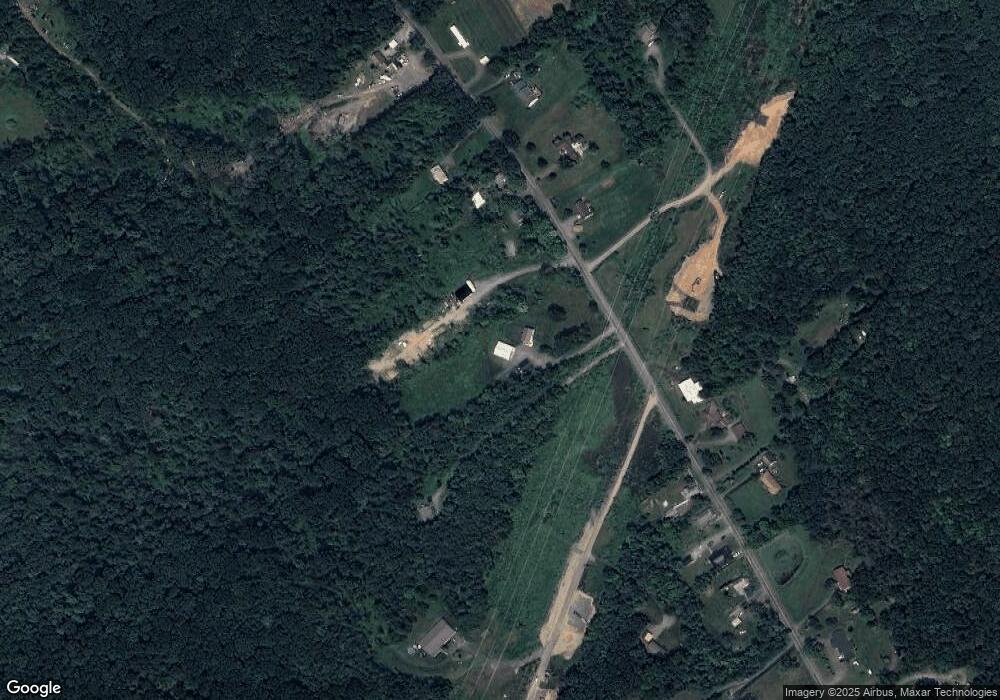
Map
Nearby Homes
- 642 Bodle Rd
- 750 Slocum Ave
- 966 Shoemaker Ave
- 14 Fairview St
- 282 Birchwood Ct
- 1946 Wyoming Ave Unit 134
- 1946 Wyoming Ave Unit 236
- 1946 Wyoming Ave Unit 306
- 1946 Wyoming Ave Unit 237
- 1946 Wyoming Ave Unit 136
- 1946 Wyoming Ave Unit 148
- 1946 Wyoming Ave Unit 276
- 1946 Wyoming Ave Unit 231
- 1946 Wyoming Ave Unit 131
- 1946 Wyoming Ave Unit 138
- 162 Birchwood Village Estates
- 253 Birchwood Ct
- 28 E 3rd St
- 23 E 3rd St
- 121 Penn Ave
- RR 4 Box 336 Campground Rd
- 573 Campground Rd
- 332 Campground Rd
- 563 Campground Rd
- 340 Campground Rd
- 611 Campground Rd
- 560 Campground Rd
- 613 Campground Rd
- 614 Campground Rd
- 617 Campground Rd
- 343 Campground Rd
- 623 Campground Rd
- 584 Campground Rd
- 633 Campground Rd
- 628 Campground Rd
- 631 Campground Rd
- 634 Campground Rd
- 354 Campground Rd
- 350 Campground Rd
- 346 Campground Rd
Your Personal Tour Guide
Ask me questions while you tour the home.