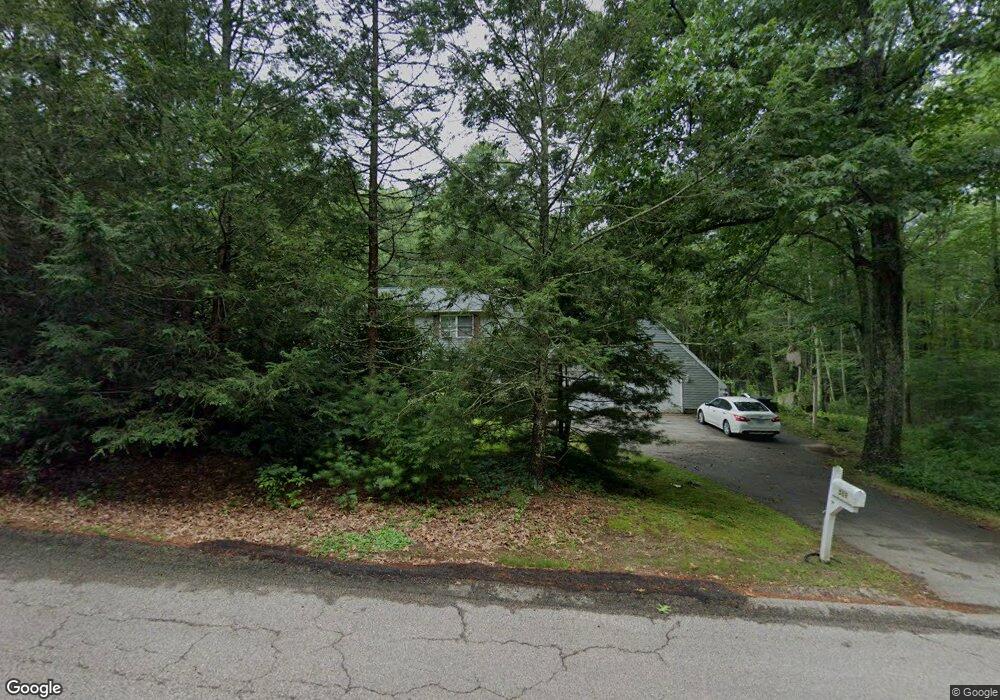
589 Hazard Rd West Greenwich, RI 02817
Estimated Value: $337,000 - $693,000
3
Beds
2
Baths
1,810
Sq Ft
$254/Sq Ft
Est. Value
About This Home
This home is located at 589 Hazard Rd, West Greenwich, RI 02817 and is currently estimated at $459,934, approximately $254 per square foot. 589 Hazard Rd is a home located in Kent County with nearby schools including Mildred E. Lineham School, Metcalf School, and Wawaloam School.
Ownership History
Date
Name
Owned For
Owner Type
Purchase Details
Closed on
Aug 20, 2004
Sold by
Royal Stephanie M
Bought by
Mcgrath Andrew P and Mcgrath Zoe R
Current Estimated Value
Home Financials for this Owner
Home Financials are based on the most recent Mortgage that was taken out on this home.
Original Mortgage
$261,250
Outstanding Balance
$129,809
Interest Rate
6.03%
Mortgage Type
Purchase Money Mortgage
Estimated Equity
$330,125
Purchase Details
Closed on
Aug 13, 1998
Sold by
Wilkinson Catherine B
Bought by
Lamoureux Stephanie M
Home Financials for this Owner
Home Financials are based on the most recent Mortgage that was taken out on this home.
Original Mortgage
$135,050
Interest Rate
6.94%
Purchase Details
Closed on
Jun 15, 1993
Sold by
Casey Michael T
Bought by
Wilkinson Catherine B and Wilkinson Clifford
Create a Home Valuation Report for This Property
The Home Valuation Report is an in-depth analysis detailing your home's value as well as a comparison with similar homes in the area
Home Values in the Area
Average Home Value in this Area
Purchase History
| Date | Buyer | Sale Price | Title Company |
|---|---|---|---|
| Mcgrath Andrew P | $192,500 | -- | |
| Lamoureux Stephanie M | $137,000 | -- | |
| Wilkinson Catherine B | $138,000 | -- |
Source: Public Records
Mortgage History
| Date | Status | Borrower | Loan Amount |
|---|---|---|---|
| Open | Wilkinson Catherine B | $261,250 | |
| Previous Owner | Wilkinson Catherine B | $224,000 | |
| Previous Owner | Wilkinson Catherine B | $150,000 | |
| Previous Owner | Wilkinson Catherine B | $135,050 |
Source: Public Records
Tax History Compared to Growth
Tax History
| Year | Tax Paid | Tax Assessment Tax Assessment Total Assessment is a certain percentage of the fair market value that is determined by local assessors to be the total taxable value of land and additions on the property. | Land | Improvement |
|---|---|---|---|---|
| 2024 | $6,394 | $399,600 | $174,200 | $225,400 |
| 2023 | $6,510 | $265,600 | $134,600 | $131,000 |
| 2022 | $6,510 | $265,600 | $134,600 | $131,000 |
| 2021 | $6,382 | $265,600 | $134,600 | $131,000 |
| 2020 | $6,319 | $265,600 | $134,600 | $131,000 |
| 2019 | $6,359 | $263,100 | $134,600 | $128,500 |
| 2018 | $5,552 | $234,300 | $113,300 | $121,000 |
| 2017 | $5,283 | $234,300 | $113,300 | $121,000 |
| 2016 | $4,564 | $202,400 | $98,100 | $104,300 |
| 2015 | $4,564 | $202,400 | $98,100 | $104,300 |
| 2013 | $5,209 | $231,000 | $107,700 | $123,300 |
Source: Public Records
Map
Nearby Homes
- 112 Bailey Pond Rd
- 445 Plain Rd
- 453 Plain Rd
- 40 Tanglewood Ln
- 47 N Shore Rd
- 19 N Shore Rd
- 5 Laurel Dr
- 628 Beach Pond Rd
- 01 Stubble Brook Rd
- 64 Knight View Dr
- 367 Pine Hill Rd
- 234 John Potter Rd
- 532 Lewis Farm Rd
- 211 Victory Hwy
- 417 Victory Hwy
- 500 Victory Hwy
- 176 Hopkins Hollow Rd
- 126 Pine Hill Rd
- 77 Gate St
- 38 Deerfield Dr