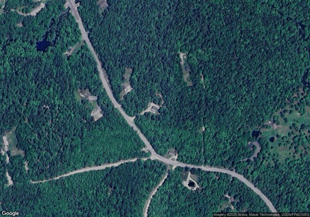
589 Red Bridge Rd Ellsworth, ME 04605
Estimated Value: $380,000 - $453,000
3
Beds
2
Baths
1,680
Sq Ft
$251/Sq Ft
Est. Value
About This Home
This home is located at 589 Red Bridge Rd, Ellsworth, ME 04605 and is currently estimated at $421,395, approximately $250 per square foot. 589 Red Bridge Rd is a home with nearby schools including Sumner Memorial High School.
Ownership History
Date
Name
Owned For
Owner Type
Purchase Details
Closed on
Dec 4, 2006
Sold by
Zappone Theresa A
Bought by
Cyr Jamie
Current Estimated Value
Create a Home Valuation Report for This Property
The Home Valuation Report is an in-depth analysis detailing your home's value as well as a comparison with similar homes in the area
Home Values in the Area
Average Home Value in this Area
Purchase History
| Date | Buyer | Sale Price | Title Company |
|---|---|---|---|
| Cyr Jamie | -- | -- |
Source: Public Records
Tax History Compared to Growth
Tax History
| Year | Tax Paid | Tax Assessment Tax Assessment Total Assessment is a certain percentage of the fair market value that is determined by local assessors to be the total taxable value of land and additions on the property. | Land | Improvement |
|---|---|---|---|---|
| 2024 | $5,178 | $296,760 | $35,040 | $261,720 |
| 2023 | $4,638 | $268,065 | $33,580 | $234,485 |
| 2022 | $4,209 | $268,065 | $33,580 | $234,485 |
| 2021 | $3,894 | $216,000 | $29,200 | $186,800 |
| 2020 | $4,022 | $214,300 | $29,200 | $185,100 |
| 2019 | $4,031 | $214,300 | $29,200 | $185,100 |
| 2018 | $3,909 | $214,300 | $29,200 | $185,100 |
| 2017 | $3,820 | $212,600 | $34,900 | $177,700 |
| 2016 | $3,759 | $212,600 | $34,900 | $177,700 |
| 2015 | $3,213 | $181,500 | $37,900 | $143,600 |
| 2014 | $2,986 | $181,500 | $37,900 | $143,600 |
| 2012 | $2,804 | $181,500 | $32,200 | $149,300 |
Source: Public Records
Map
Nearby Homes
- 775 Red Bridge Rd
- 428 Bangor Rd
- 817 Red Bridge Rd
- 403 Bangor Rd
- 0 Bangor Rd
- 498 Bangor Rd
- 928 Red Bridge Rd
- 1101
- 664 Bucksport Rd
- 4 Addie Rd
- 36 Addie Rd
- 00 Bucksport Rd
- Lot #1 Bucksport Rd
- Lot 48-2-8 Mayflower Way
- Lot 1-7 Manhattan Way
- 1 Eagle Island
- 254 Mariaville Rd
- 278 Mariaville Rd
- 34 Eagle Rd
- Lot #13-1 Shore Rd
- 593 Red Bridge Rd
- 551 Red Bridge Rd
- Lot 15 Red Bridge Rd
- 596 Red Bridge Rd
- 554 Red Bridge Rd
- 630 Red Bridge Rd
- 539 Red Bridge Rd
- 12 Vinegar Hill Way
- 538 Red Bridge Rd
- 21 Vinegar Hill Way
- LOT 7 Red Bridge Rd
- 41 Mill Dam Rd
- 656 Red Bridge Rd
- 663 Red Bridge Rd
- 120 Mill Dam Rd
- 39 Alder Brook Way
- 699 Red Bridge Rd
- 14 Alder Brook Way
- 703 Red Bridge Rd
- 705 Red Bridge Rd
