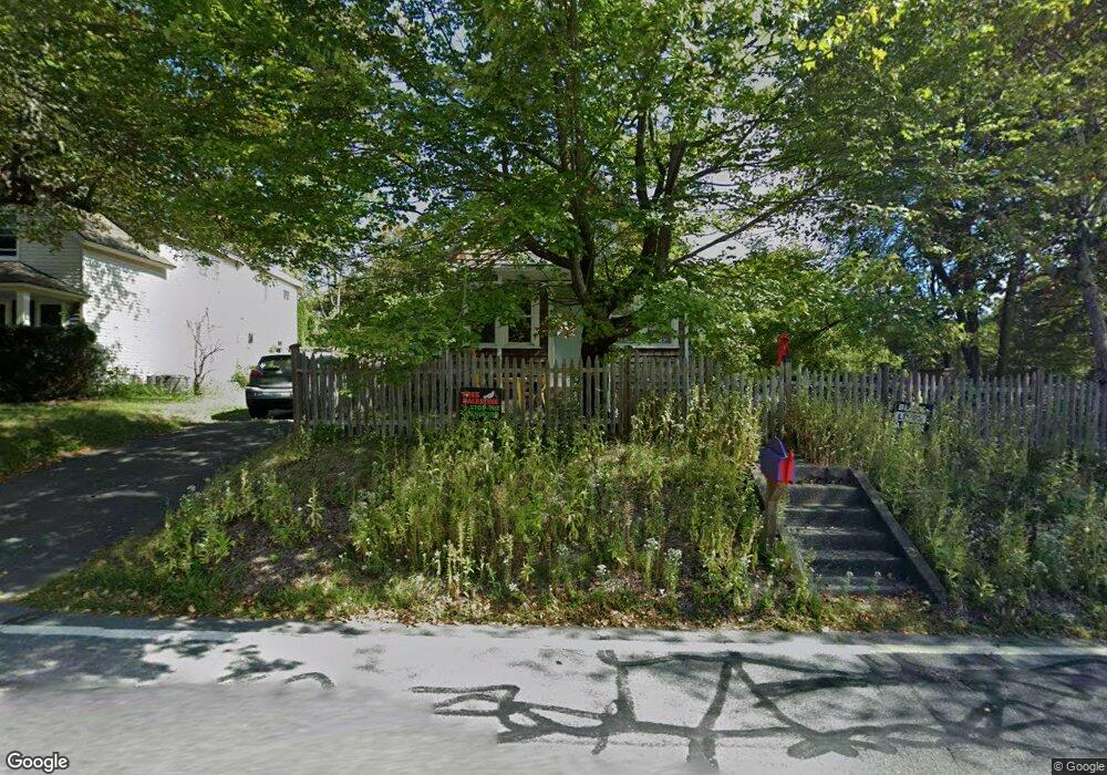
589 Riverside Dr Florence, MA 01062
Florence NeighborhoodEstimated Value: $521,027 - $560,000
3
Beds
3
Baths
1,619
Sq Ft
$330/Sq Ft
Est. Value
About This Home
This home is located at 589 Riverside Dr, Florence, MA 01062 and is currently estimated at $533,757, approximately $329 per square foot. 589 Riverside Dr is a home located in Hampshire County with nearby schools including Northampton High School, The Montessori School of Northampton, and Campus School of Smith College.
Ownership History
Date
Name
Owned For
Owner Type
Purchase Details
Closed on
Mar 31, 2023
Sold by
Marcus Valerie and Miller Peter
Bought by
Miller Nora C and Clare Kelly L
Current Estimated Value
Home Financials for this Owner
Home Financials are based on the most recent Mortgage that was taken out on this home.
Original Mortgage
$280,000
Outstanding Balance
$271,199
Interest Rate
6.32%
Mortgage Type
Purchase Money Mortgage
Estimated Equity
$262,558
Purchase Details
Closed on
Jan 9, 2023
Sold by
Aleo Michael E and Aleo Katherine B
Bought by
Marcus Valerie and Miller Peter
Purchase Details
Closed on
May 31, 2001
Sold by
Azzoni David
Bought by
Aleo Michael E
Create a Home Valuation Report for This Property
The Home Valuation Report is an in-depth analysis detailing your home's value as well as a comparison with similar homes in the area
Home Values in the Area
Average Home Value in this Area
Purchase History
| Date | Buyer | Sale Price | Title Company |
|---|---|---|---|
| Miller Nora C | $427,500 | None Available | |
| Marcus Valerie | $427,500 | None Available | |
| Aleo Michael E | $10,448 | -- |
Source: Public Records
Mortgage History
| Date | Status | Borrower | Loan Amount |
|---|---|---|---|
| Open | Miller Nora C | $280,000 | |
| Previous Owner | Aleo Michael E | $13,900 | |
| Previous Owner | Aleo Michael E | $134,500 | |
| Previous Owner | Aleo Michael E | $141,500 |
Source: Public Records
Tax History Compared to Growth
Tax History
| Year | Tax Paid | Tax Assessment Tax Assessment Total Assessment is a certain percentage of the fair market value that is determined by local assessors to be the total taxable value of land and additions on the property. | Land | Improvement |
|---|---|---|---|---|
| 2025 | $5,990 | $430,000 | $123,100 | $306,900 |
| 2024 | $6,111 | $402,300 | $123,100 | $279,200 |
| 2023 | $6,003 | $379,000 | $111,900 | $267,100 |
| 2022 | $5,621 | $314,200 | $111,900 | $202,300 |
| 2021 | $4,511 | $259,700 | $106,900 | $152,800 |
| 2020 | $4,363 | $259,700 | $106,900 | $152,800 |
| 2019 | $4,337 | $249,700 | $106,900 | $142,800 |
| 2018 | $4,383 | $257,200 | $106,900 | $150,300 |
| 2017 | $4,293 | $257,200 | $106,900 | $150,300 |
| 2016 | $4,156 | $257,200 | $106,900 | $150,300 |
| 2015 | $3,903 | $247,000 | $106,900 | $140,100 |
| 2014 | $3,801 | $247,000 | $106,900 | $140,100 |
Source: Public Records
Map
Nearby Homes
- 36 Landy Ave
- 37 Landy Ave
- 225 Nonotuck St Unit C
- 152 S Main St Unit 8
- 152 S Main St Unit 4
- 76 Maple St
- 67 Park St Unit A
- 67 Park St Unit B
- 67 Park St Unit D
- 325 Riverside Dr
- 11 Norwood Ave
- 321 Riverside Dr
- 84 N Main St
- 63 Riverside Dr
- 269 Ryan Rd
- 0 Terrace Ln
- 61 Woodlawn Ave
- 138 Overlook Dr
- 100 Emerson Way
- 815 Burts Pit Rd
- 591 Riverside Dr
- 579 Riverside Dr
- 597 Riverside Dr
- 54 Landy Ave
- 54A Landy Ave
- 569 Riverside Dr
- 611 Riverside Dr
- 44 Landy Ave
- 565 Riverside Dr
- 615 Riverside Dr
- 40 Landy Ave
- 619 Riverside Dr
- 620 Riverside Dr
- 557 Riverside Dr
- 557 Riverside Dr Unit 1060
- 39 Landy Ave
- 545 Riverside Dr
- 24 Landy Ave
- 29 Landy Ave
- 634 Riverside Dr